Download presentation
Presentation is loading. Please wait.

2
What is cartography? Purpose of Maps Famous map examples Organization of the map: the equator, latitude, and longitude, Prime meridian, tropics of Capricorn and Cancer Time zones, International date line, Greenwich, England

3
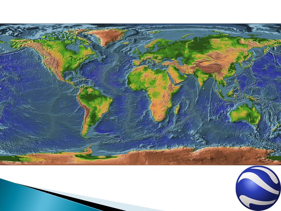
The purpose of a map is to document physical features of an area for the purposes of science, exploration and relative perspective Cartography is the art and science of representing the known features of the Earth

4
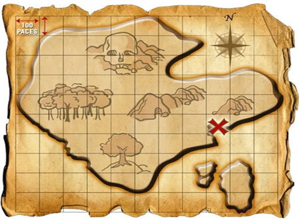
Nautical Chart of the Mediterranean Sea from the 14 th century

7
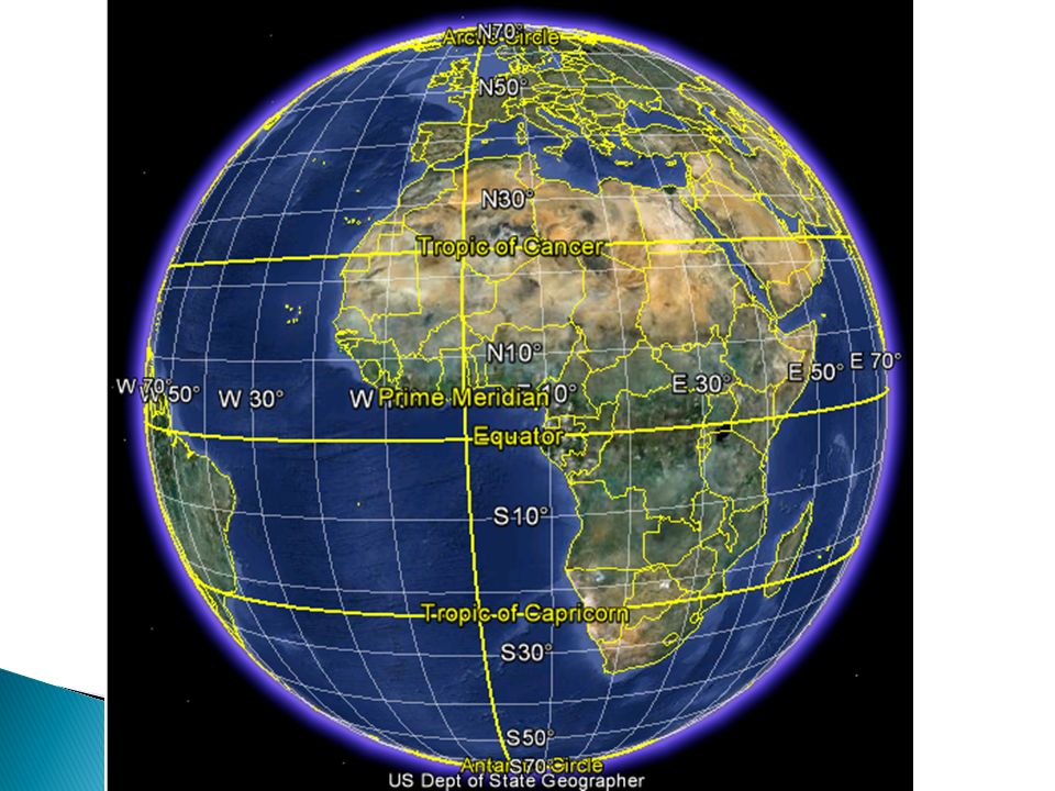
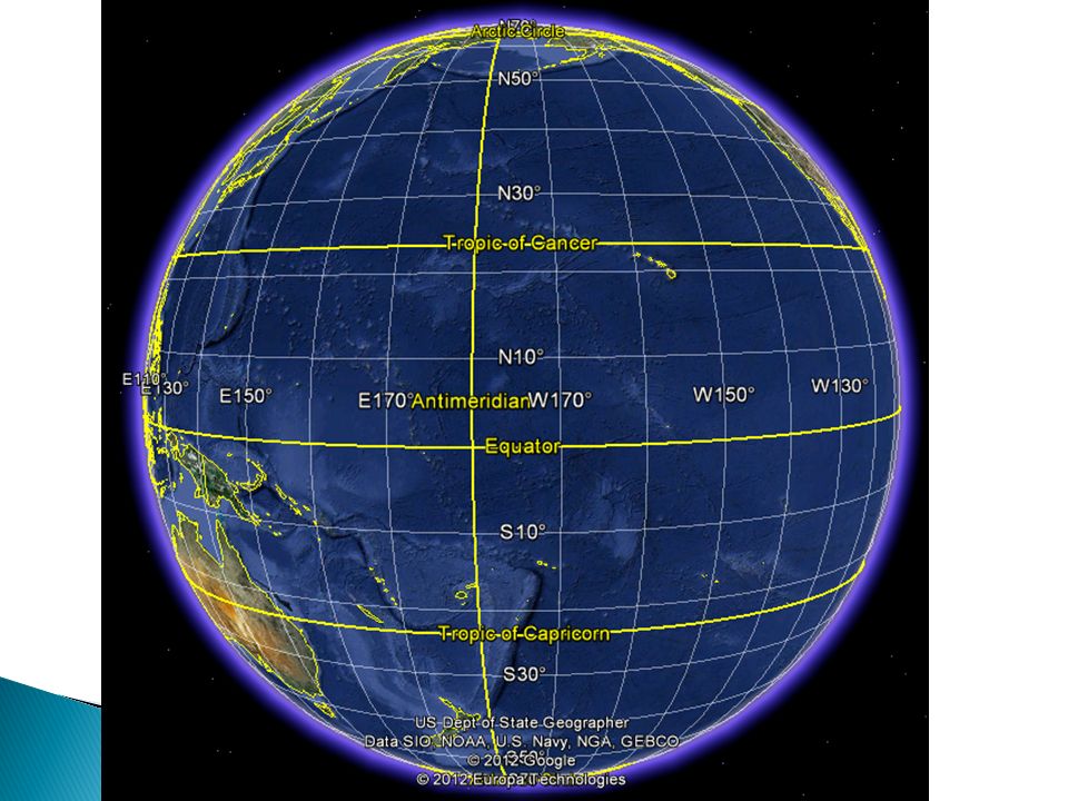
Equator: an imaginary line around the Earth that is equidistant from the North and South poles and perpendicular to the Earth’s axis of rotation A coordinate system using Latitude and Longitude measurements are used to describe locations on Earth ◦ Each pole is described as having 90˚latitude (The north pole is at 90˚N ◦ The equator as a latitude of 0 ˚

8
-As a general trend, every degree North or South on a globe is equal to approximately 111 km - Since this value is a little high for practical purposes, cartographers further subdivide each degree into minutes, which represents 1.85 km. The symbol for minute is ́ - Minutes can be further divided into seconds, ́ ́, which represents 30.83 meters ́ ́ ́ ˚ DegreeMinuteSecond

9
The distance a region is from the equator directly relates to the amount of seasonal sunshine it receives. NOTE: The Sun is the source of all phenomena on Earth For this reason, places around the world like Morocco, Egypt, Iran, India, Southern China, and the US (Florida) experience similar climate trends
 experience similar climate trends.")
10
The 30 th Parallel North

11
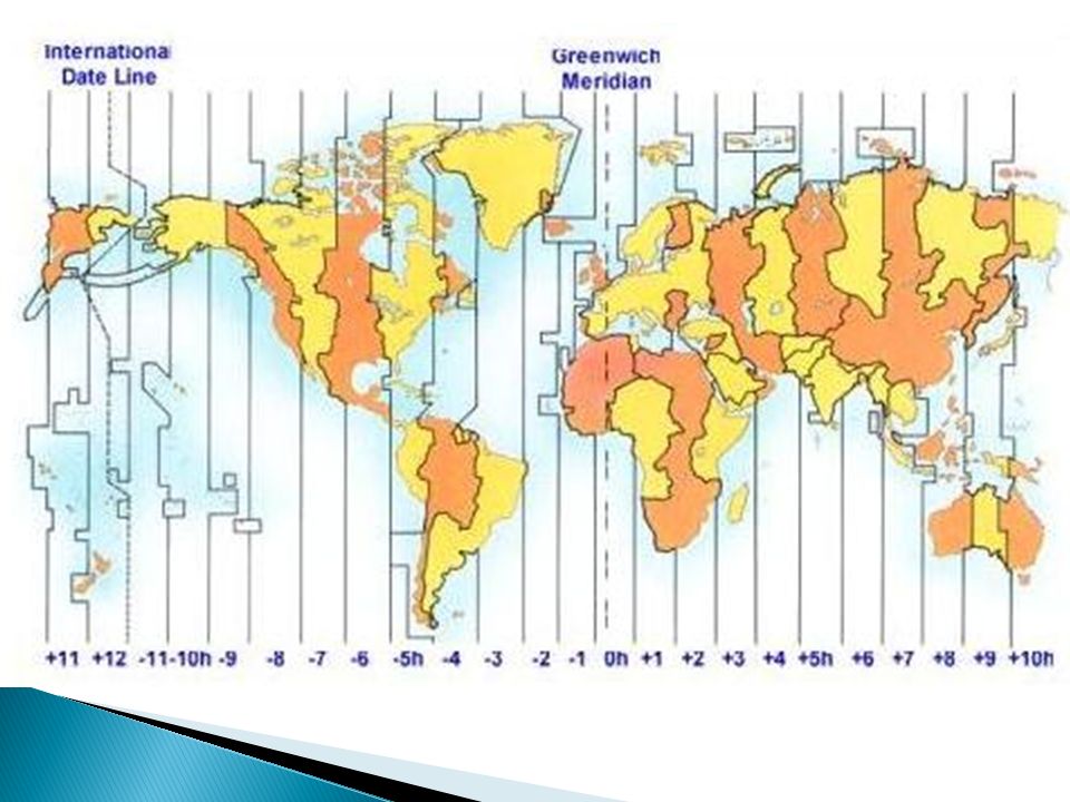
Lines of longitudes are called meridians In 1884, astronomers decided that the meridian of reference would pass through Greenwich, England (home of the Royal Naval Observatory). Moving West to East (from 0 - 180˚)
.")
14
The Prime Meridian represents 0° longitude The Anti-Meridian / International Date Line represents 180 ° longitude

17
Download Google Earth and look up the following coordinates: 51°10'43.82"N 1°49'34.39"W

18
The Earth is divided into 24 true times zones because it takes 24 hours for the Earth to rotate around its axis once Each time zone is roughly 15˚wide

20
All regions on the Earth experience a transition between calendar days every 24 hours The International Date Line (180˚meridian) serves as a transition line between days If one were to travel WEST over the International Date Line, they would advance one calendar day. If one were to travel EAST, they would move their calendar one day back

21
1. Imagine what it would be like to fly from where you live to Paris, France. Describe what it would be like to adjust to the time difference. 2. If you were flying directly south from the north pole and reached 70 degrees north, how many degrees of latitude would be between you and the south pole?

22
3. Estimate the time difference between your home and places that are 60 degrees east and west longitude of your home.

Similar presentations