Download presentation
Presentation is loading. Please wait.

1
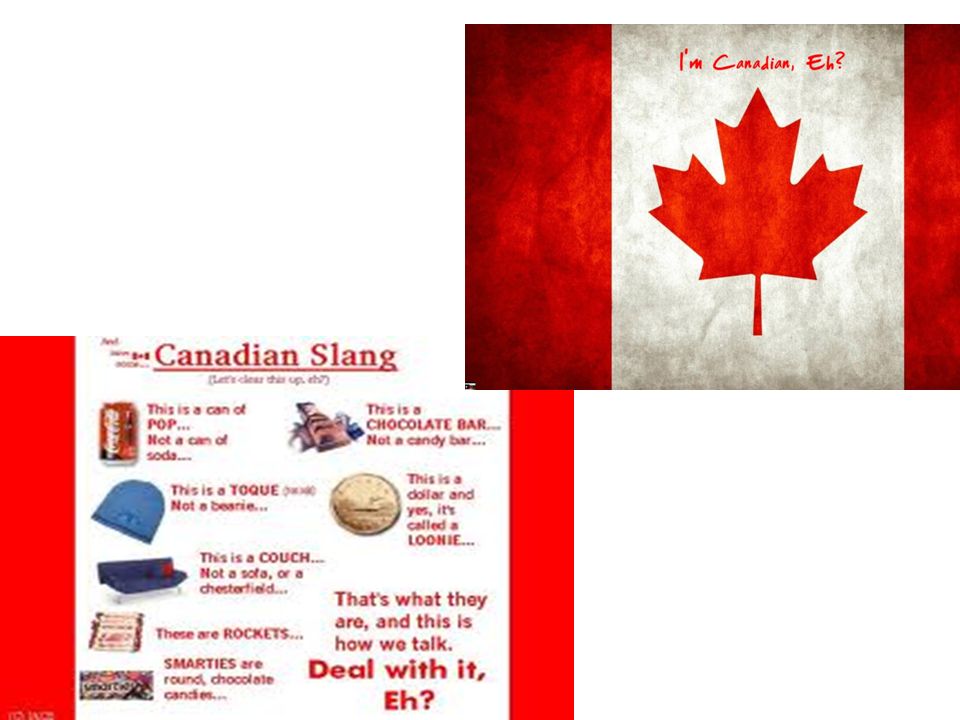
The United States and Canada

2
Migration People migrated to the US & Canada from Europe for many reasons: Religion Economics: to make more $$ Jobs (in factories and building railroads) Land Economic growth and opportunity War Invention of Air Conditioning, railroads, etc have allowed more people to move and settle in the warmer climates of the west
 Land. Economic growth and opportunity. War. Invention of Air Conditioning, railroads, etc have allowed more people to move and settle in the warmer climates of the west.")
3
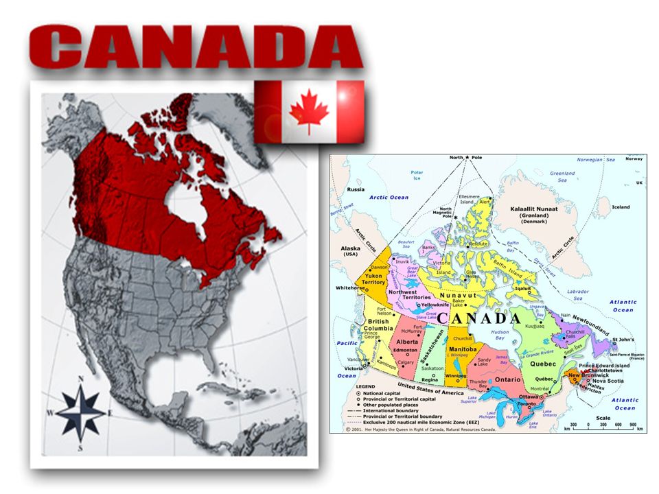
US & Canadian Physical Geography
Human Environment Interaction Movement westward altered the land in both the U.S. and Canada Transportation networks helped develop the land and economy of the region. You should remember most of this from Your Mapping Lab. In both the U.S. and Canada, movement has been from east to west. In a large part, this process was made considerably easier by the construction of railroads in the 19th century. Opened new areas – eliminated some barriers.

4
Appalachian Mountains
Rocky Mountains Appalachian Mountains Largest & youngest! mountain range in North America. Stretches from Alaska to Mexico. Stretches from eastern Canada to western Alabama. Oldest mountain range on the continent.

5
The Mississippi: America’s Great River Road
Longest River in North America Draining all or part of 31 states & 2 Canadian provinces The “Big Muddy”. Ask students who has been to the Mississippi, and what surprised them about it. They will usually say the size/width.

6
Grand Canyon Carved out by the Colorado River over a 5 million year time span. Over 1 mile deep Recent estimates say that the canyon is over 17 m yrs old The word canyon and gorge are basically interchangeable. The US uses the term Canyon, while Europe tends to use the term “gorge” Basically, the continental divide is where the rivers flow opposite directions, due to the mountain ranges. Continental Divide: Separates the watersheds that drain into the Pacific from those that drain into the Atlantic .

7
Great Salt Lake (Utah) 6 times saltier than the oceans!
2000 square miles. 10’ – 28’ deep. you cannot sink in the Great Salt Lake due to the high salt content. Similar to the Dead Sea in the Middle East. Lake is leftover from the ice age, salty b/c it does not have an outlet to the ocean. As rivers bring more water in, they also bring salt sediment, water evaporates leaving behind the salt. 6 times saltier than the oceans!

8
Death Valley, CA 3,000 sq miles
Lowest, hottest & driest place in N. America Death Valley is located in the Mojave Desert in California Badwater Basin is the lowest point in Death Valley.

9
Population Patterns Where has population shifted over time? East to West Human-Environment Interaction Railroads and interstate highways opened/connected new areas Rivers, dams, bridges, canals, and irrigation made water resources more useful People live near key resources 6A, 13A, 6B, 8A, 11C Again with brainstorming – letting them teach us? Major cities – New York, Los Angeles, San Francisco, Chicago, Cleveland, Boston, NY, Philadelphia – Maybe write these on the board as they generate ideas… then place them into perceptual region categories Population shifts – Influx of immigration (NY and CA), many people stay near their port of entry unless/until something pulls them elsewhere (i.e., land opening in the West) – Rust Belt to Sun Belt (new industries, opportunities, and climate paired with decline in manufacturing) – Great Migration of African Americans and others out of the South to look for jobs in the North due to limited economic opportunity – Hispanic immigrants coming to the Southern U.S. to seek jobs causing a rising population in this area HEI Railroad construction made it possible for people to move West despite barriers (mountains, etc.) – For this reason, early cities in the West were located along the railroad track Later – Cars make it possible for people to live near big cities (for job opportunities) while avoiding overcrowding of inner city – Suburbs were born (as were malls) What makes Phoenix and Las Vegas possible? Irrigation (Ogallala Aquifer), Hoover Dam, and air conditioning! Discovery of oil and natural gas brought a “boom population” in Oklahoma and Texas
, many people stay near their port of entry unless/until something pulls them elsewhere (i.e., land opening in the West) – Rust Belt to Sun Belt (new industries, opportunities, and climate paired with decline in manufacturing) – Great Migration of African Americans and others out of the South to look for jobs in the North due to limited economic opportunity – Hispanic immigrants coming to the Southern U.S. to seek jobs causing a rising population in this area. HEI. Railroad construction made it possible for people to move West despite barriers (mountains, etc.) – For this reason, early cities in the West were located along the railroad track. Later – Cars make it possible for people to live near big cities (for job opportunities) while avoiding overcrowding of inner city – Suburbs were born (as were malls) What makes Phoenix and Las Vegas possible Irrigation (Ogallala Aquifer), Hoover Dam, and air conditioning! Discovery of oil and natural gas brought a boom population in Oklahoma and Texas.")
10
Politics & Economics Political System in the US: Federal Republic
US gained freedom from England in 1776. Economic System: Mixed/Free Enterprise 13B, 14B, 15A Democratic republic – why both? People are the ultimate power (democracy), but the government operates according to law/Constitution Shared power/checks and balances # of representatives in the House are based on population, as are electoral votes – Shifts in population can also mean a shift in political power – gerrymandering is a result – Less rampant now, but used to be a regular occurrence Lots of voices heard – For instance, environmentalists, business owners, land owners, etc., would all weight in on land use
, but the government operates according to law/Constitution. Shared power/checks and balances. # of representatives in the House are based on population, as are electoral votes – Shifts in population can also mean a shift in political power – gerrymandering is a result – Less rampant now, but used to be a regular occurrence. Lots of voices heard – For instance, environmentalists, business owners, land owners, etc., would all weight in on land use.")
11
Economics - Demographics
How would you describe the level of development of the U.S.? More developed Where does the U.S. rank in the Human Development Index? NUMBER FOUR HDI is based on the data collected in the chart to the left US High Per Capita GDP 45,800 High Life Expectancy 78 years Low Population Growth Rate .88% Low Infant Mortality 6.3/1000 Nothing to write here, just talking points. Despite the fact that the U.S. economy has experienced sustained growth since WWII, there is a widening gap between the rich and poor – Benefits of wealthy society are uneven

12
The U.S. Urbanization centered around rivers and ports
Culturally diverse Midwest is agricultural 5A, 9A, 13A How we know this is perceptual… When I went to look for a map of the Northeast, I couldn’t find one that included the states listed in our book! Some maps included OH and KY, some left off WV, DE, MD, and DC. The book’s list of states is Maine, New Hampshire, Vermont, Massachusetts, Rhode Island, Connecticut, New York, New Jersey, Pennsylvania, West Virginia, Maryland, Delaware, and Washington, DC. Smallest and most densely populated – 1/5 of our population concentrated in megalopolis areas (Boston, New York, Philadelphia, Baltimore, Washington) Rivers were necessary for early factories, ports were centers for trade – As manufacturing has shifted away from the Northeast, it has become known as the “Rust Belt” Many different ethnic groups entered the U.S. through ports in the Northeast (most notably Ellis Island) – settled in ethnic enclaves in large cities (i.e., Little Italy) NATURAL BORDERS – Appalachian Mountains, Atlantic Ocean MANMADE BORDERS – Division with Canada along approximately the 49th parallel
 Rivers were necessary for early factories, ports were centers for trade – As manufacturing has shifted away from the Northeast, it has become known as the Rust Belt Many different ethnic groups entered the U.S. through ports in the Northeast (most notably Ellis Island) – settled in ethnic enclaves in large cities (i.e., Little Italy) NATURAL BORDERS – Appalachian Mountains, Atlantic Ocean. MANMADE BORDERS – Division with Canada along approximately the 49th parallel.")
13
How do you think the US influences culture around the world?
1B, 14C American culture is possibly our greatest export – McDonald’s in Moscow – American music, TV, movies, celebrities are all adopted worldwide (with exception of places where strict government bans them) – U.S. and our culture often seen to symbolize freedom… but also excess, consumer-driven Because the U.S. has only two borders to protect (relatively weaker nations) and oceans on either side, we have never been successfully invaded (since the British) – Dec. 7, 1941 and September 11, 2001 are isolated incidents of attacks on U.S. soil – Despite this fact, the U.S. maintains a very large standing army – A large portion of our budget is dedicated to defense U.S. is a permanent member of the UN Security Council, which means it has veto power over UN resolutions – Within the UN and outside it as well, the U.S. often serves as part of multinational military forces
 – U.S. and our culture often seen to symbolize freedom… but also excess, consumer-driven. Because the U.S. has only two borders to protect (relatively weaker nations) and oceans on either side, we have never been successfully invaded (since the British) – Dec. 7, 1941 and September 11, 2001 are isolated incidents of attacks on U.S. soil – Despite this fact, the U.S. maintains a very large standing army – A large portion of our budget is dedicated to defense. U.S. is a permanent member of the UN Security Council, which means it has veto power over UN resolutions – Within the UN and outside it as well, the U.S. often serves as part of multinational military forces.")
16
Cultural Protectionism:
What do you think a former Canadian Prime Minister meant by this statement aimed at the US: "Living next to you (the US) is in some ways like sleeping with an elephant. No matter how friendly or temperate the beast, one is affected by every twitch and grunt.“ Cultural Protectionism: In response to American popular culture, and its overreaching effect in Canada, Canada has imposed “protectionism” policies to limit the effect of foreign culture on its domestic audience. 1B Canada has tried to ban certain magazines, Time, National Geographic etc. and only recently agreed to “split run” magazines where two different editions are published, one for the Canadian market, one for the US market.
 is in some ways like sleeping with an elephant. No matter how friendly or temperate the beast, one is affected by every twitch and grunt. Cultural Protectionism: In response to American popular culture, and its overreaching effect in Canada, Canada has imposed protectionism policies to limit the effect of foreign culture on its domestic audience. 1B. Canada has tried to ban certain magazines, Time, National Geographic etc. and only recently agreed to split run magazines where two different editions are published, one for the Canadian market, one for the US market.")
17
Canadian Colonization:
Beginning in the 14th & 15th century, British, French & Spanish expeditions explored the Eastern Coast and Hudson Bay area & later settled in this region. 1A,

18
Continental Expansion & The Transcontinental RailRoad
Shortly after the transcontinental RR was completed ( ) gold was found in Yukon which brought people from all over the world seeking their fortune. Result: many towns developed along the RR route: Near the US Canadian border. Continental Expansion & The Transcontinental RailRoad 6A, 6B Ask students to draw a line chart like this in their notebooks: RR – gold discovered – large amounts of fortune hunters – towns develop along the RR route – population concentrated here still today (along the US/Canadian border). Canadians live near the border due to the mild climate. The Northern area is Inuit (Native American) territory.
 gold was found in Yukon which brought people from all over the world seeking their fortune. Result: many towns developed along the RR route: Near the US Canadian border. Continental Expansion & The Transcontinental RailRoad. 6A, 6B. Ask students to draw a line chart like this in their notebooks: RR – gold discovered – large amounts of fortune hunters – towns develop along the RR route – population concentrated here still today (along the US/Canadian border). Canadians live near the border due to the mild climate. The Northern area is Inuit (Native American) territory.")
19
Population Distribution
Population is 31.6 million & growing (putting it in perspective: US population = 350 mill) Most of the population is centered near the US/Canadian border. Why?? 6A
 Most of the population is centered near the US/Canadian border. Why 6A.")
20
Canada is one of the top 10 wealthiest nations in the world
Canada is one of the top 10 wealthiest nations in the world. Economic System: Mixed/Socialism Canada is a member of NAFTA (North American Free Trade Agreement) along with the US & Mexico. 10B US, Japan, China, Germany, & France make up the top 5. In this order, as of 2010.
 along with the US & Mexico. 10B. US, Japan, China, Germany, & France make up the top 5. In this order, as of")
21
Along the US/Canada border, because this is where the climate is more mild, and where the natural resources are located. Where do you see most of the economic activities (both Agriculture & Industry) in Canada? Why? Along the US/Canada border, because this is where the climate is more mild, and where the natural resources are located.
 in Canada Why Along the US/Canada border, because this is where the climate is more mild, and where the natural resources are located.")
22
Governing Canada Canada was recognized as an independent nation by Britain in 1931. Parliamentary Government Canada is independent but it’s symbolic head of state remains the British Monarch. Parliamentary Government means: Legislative & Executive functions are combined into “parliament”

23
Canadian Shield A very thin layer of soil lying on top of the bedrock, with many bare outcrops. Is a result of glaciation. The CS is rich in mineral deposits, scarcely populated. 4B Glaciation is where glaciers, due to their weight, scraped the surface layer of the earth clean of soil, small rocks etc. This happened during the last ice age. What predictions can students make about the population here (low pop density). Why? Good natural resources, (minerals) but near impossible to farm or build here.
. Why Good natural resources, (minerals) but near impossible to farm or build here.")
24
Canadian Provinces & Territories
Canada = 10 Provinces & 3 Territories. Major Cities: Quebec, Toronto & Montreal Capital City: Ottawa Quebec (province): former French colony, that still has strong cultural ties to France. Nunavut: territory given to Inuit population (Natives). 9A The photo is of a Stop sign in Quebec…everything is dual language. Inuit tribe thought to have come over from Siberia. Inuits in Canada feel as though they are a different “tribe” than Eskimos. Do not call an Inuits an Eskimo, it is similar to calling a Puerto Rican a Mexican, or like calling them a derogatory name. Photo above is of an Inuit family. . Territories are not sovereign, Provinces are. Provinces are similar to US States. Note: The term Inuit is favored over Eskimo in Canada & Greenland as the name “Eskimo” is seen as derogatory. Yes, they live in igloos… Eskimo is ONLY acceptable in Alaska & Siberia. Besides the Inuit, Canada has a large and well-organized native population (referred to as First Nations)
: former French colony, that still has strong cultural ties to France. Nunavut: territory given to Inuit population (Natives). 9A. The photo is of a Stop sign in Quebec…everything is dual language. Inuit tribe thought to have come over from Siberia. Inuits in Canada feel as though they are a different tribe than Eskimos. Do not call an Inuits an Eskimo, it is similar to calling a Puerto Rican a Mexican, or like calling them a derogatory name. Photo above is of an Inuit family. . Territories are not sovereign, Provinces are. Provinces are similar to US States. Note: The term Inuit is favored over Eskimo in Canada & Greenland as the name Eskimo is seen as derogatory. Yes, they live in igloos… Eskimo is ONLY acceptable in Alaska & Siberia. Besides the Inuit, Canada has a large and well-organized native population (referred to as First Nations)")
Similar presentations


>")

