Download presentation
Presentation is loading. Please wait.

2
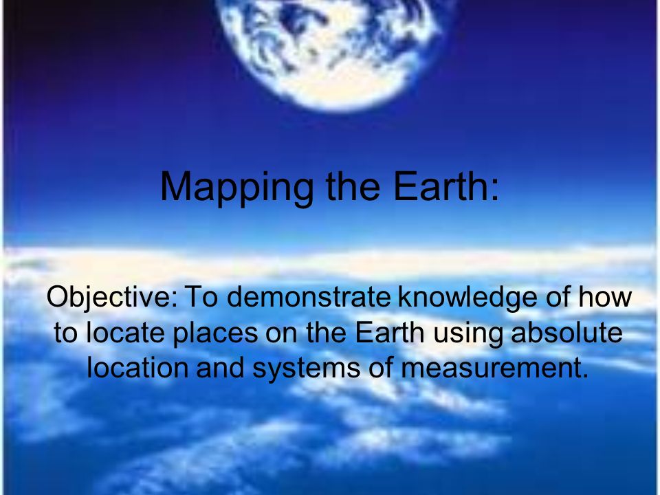
Mapping the Earth: Objective: To demonstrate knowledge of how to locate places on the Earth using absolute location and systems of measurement.

3
The Equator & The Prime Meridian The Equator is a line that circles Earth midway between the Poles Divides the Earth into 2 hemispheres (N and S) It is measured at 0° latitude Poles are measured at 90 ° Nth or Sth The Prime Meridian is measured at 0 ° Longitude Splits world into Eastern and Western Hemisphere Runs through Greenwich, England
 It is measured at 0° latitude Poles are measured at 90 ° Nth or Sth The Prime Meridian is measured at 0 ° Longitude Splits world into Eastern and Western Hemisphere Runs through Greenwich, England")
4
Lines of Latitude & Longitude Imaginary lines circle the Earth Run North- South & East- West Different lines of la. and Lo. cross and form a grid Makes it possible to find exact locations on Earth Distances are measured in degrees Degrees are divided into minutes 60 minutes are equal to 1 degree

5
Lines of Latitude Parallels – are parallel to the Equator Measure distance North or South of the Equator Parallels N of Equator are labeled with an N; South with a S Range: 0 ° from Equator to 90 ° N or S for the Poles

6
Lines of Longitude Also called meridians Measure distance East or West from pole to pole and from P.M. Range: 0 ° for P.M. to 180 ° Meridians east of the pm are labeled E Meridians west of the pm are labeled W

7
Mapping the World

8
http://www.google.com/imgres?imgurl=http://geographyworldonline.com/tutorial/ world.jpg&imgrefurl=http://geographyworldonline.com/tutorial/practice.html&usg =__-UBZoTjvOsPzwTpA- LSUG5kh4rs=&h=379&w=732&sz=87&hl=en&start=11&sig2=QcBbxx8yFSVsAJ 3gzpg5eA&zoom=1&tbnid=SwOCB1ZuCOOWiM:&tbnh=73&tbnw=141&ei=y85u Trz2MefG0AGSyqCzCg&prev=/images%3Fq%3Dlatitude%2Band%2Blongitude %26hl%3Den%26sa%3DG%26tbm%3Disch&itbs=1

9
Sources: Google Images

Similar presentations


 Splits Earth into Northern/Southern.>")


 imaginary lines drawn around the earth parallel to the equator definition – the distance north or.>")


