Download presentation
Presentation is loading. Please wait.

1
Finding locations on the Earth

2
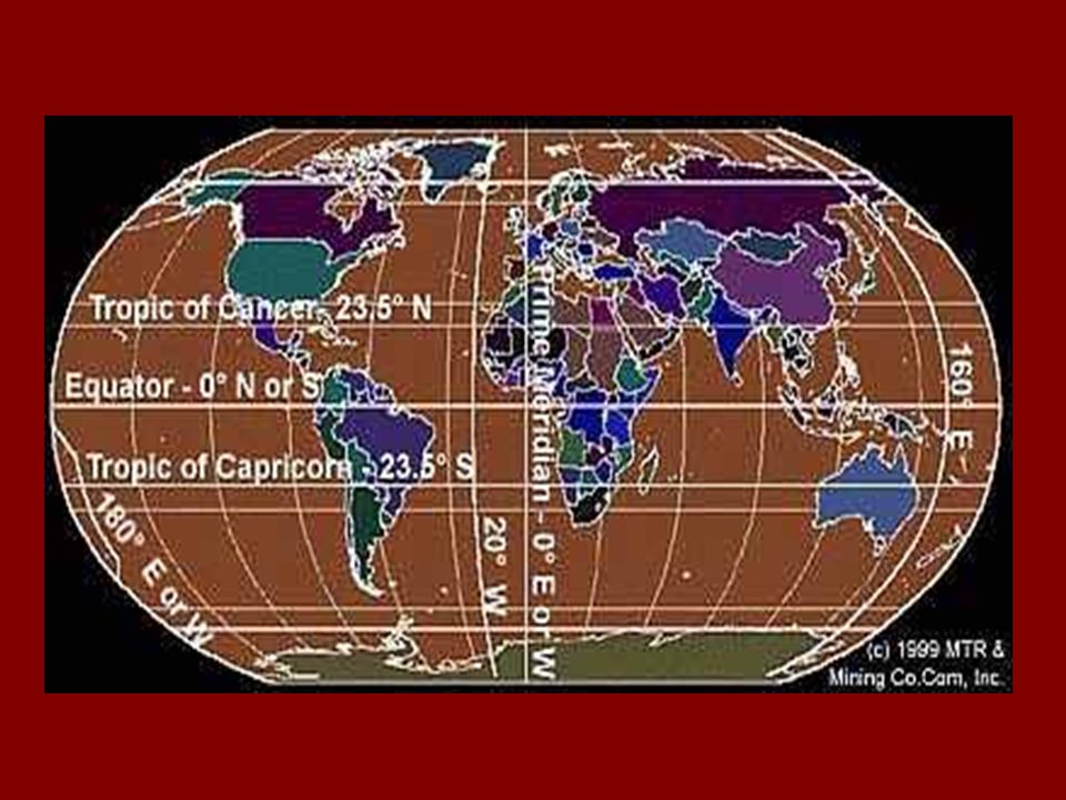
Latitude (parallels) imaginary lines drawn around the earth parallel to the equator definition – the distance north or south, measured in degrees, from the equator North Pole 90 degrees N90°N South Pole 90 degrees S90°S
 imaginary lines drawn around the earth parallel to the equator definition – the distance north or south, measured in degrees, from the equator North Pole 90 degrees N90°N South Pole 90 degrees S90°S")
12
Equator an imaginary line half way between the poles that divides the earth into the Northern Hemisphere and the Southern Hemisphere

15
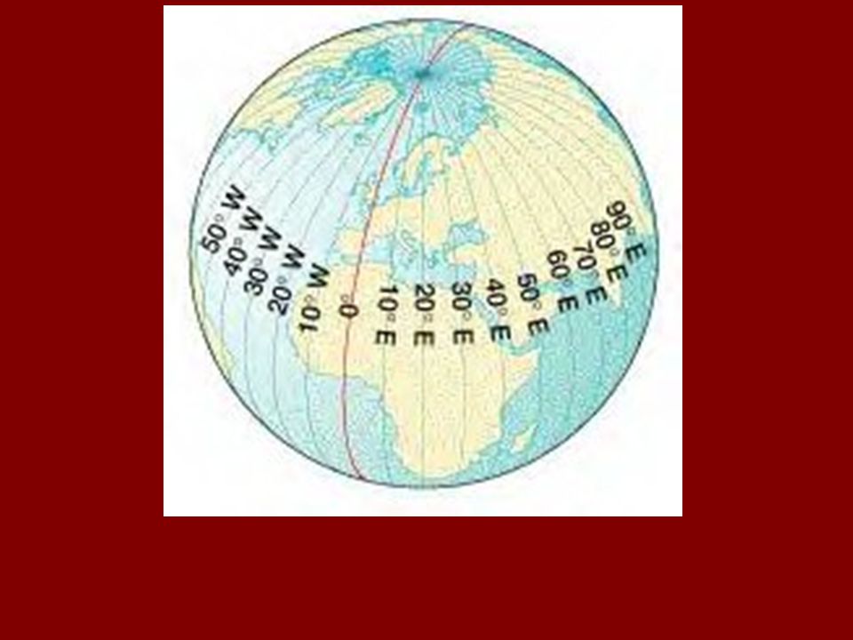
Longitude (meridians) imaginary lines that pass through the poles are not parallel definition – is the distance east or west, measured in degrees, from the Prime Meridian
 imaginary lines that pass through the poles are not parallel definition – is the distance east or west, measured in degrees, from the Prime Meridian")
20
Prime Meridian divides the earth into the Eastern Hemisphere and the Western Hemisphere 0 degrees longitude; passes through Greenwich, England east lines of longitude are found east of the Prime Meridian west lines of longitude are found west of the Prime Meridian

24
International Dateline opposite of the Prime Meridian 180 degrees meridian 180°

27
Using Latitude and Longitude lines of latitude and longitude intersect, forming grids on maps and globes grid system is used to find locations north or south of the equator or east and west of the Prime Meridian

Similar presentations