Download presentation
Presentation is loading. Please wait.

2
Geographical Information Systems MR1510 Lecture 3

3
Geography Matters… to All of Us

4
We Share the Same Geography and Are Related

5
Geography Is the Science of GIS It Provides the Framework...

6
Measuring and Integrating the Parts... Social Factors Biodiversity Engineering Land Use EnvironmentalConsiderations …Means Seeing the Whole Coastal and Marine!

7
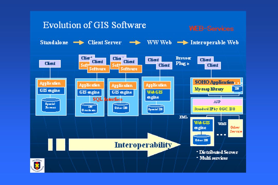
What is GIS? GIS is a systematic integration of Computer Hardware, Software and Spatial Data, for capturing, storing, displaying, updating manipulating and analysing, in order to solve complex management problems. Previously we had paper maps, which were very colourful, but couldn't modify. Then came the computer revolution, where the maps were digitised and stored in digital format as entities (points, lines and areas). Then came the GIS, which made these entities intelligent. It attached a value(attribute) to these entities, with what it actually means in geographical terms.
. Then came the GIS, which made these entities intelligent. It attached a value(attribute) to these entities, with what it actually means in geographical terms..")
8
GIS: historical background This technology has developed from: –Digital cartography and CAD –Data Base Management Systems 1 2 3 ATTRIB IDX,Y 123123 ID 123123 CAD System Data Base Management System

9
Components of a GIS GeographyGeography A computer (hardware and software)A computer (hardware and software) DataData Expertise (coastal and marine)Expertise (coastal and marine) A thinking operator thats YOU!A thinking operator thats YOU! Geographic Information System

11
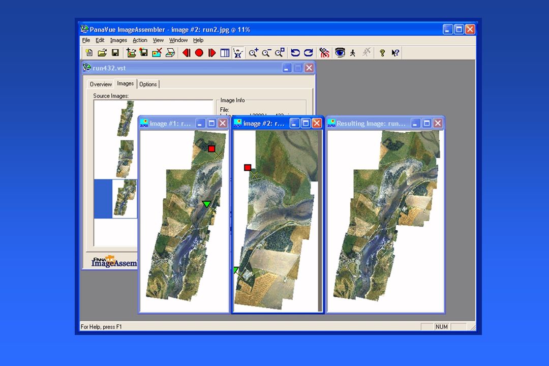
How GIS works Data is stored as a collection of thematic layersData is stored as a collection of thematic layers

12
Modelling the real world 1 1 20 50 1 2 24 45 1 3 52 55 2 1 0 45 46 40... 0 0 0 0 0 0 0 2 0 0 0 0 0 0 1 0 0 0 0 2 0 0 1 0 0 0 0 0 0 0 0 2 0 0 0 0 2 2 2 0 1... x y

13
Point Line Polygon/Area Characteristics of spatial data

14
What makes data spatial? Placename Grid co-ordinate Postcode Distance & bearing Description Latitude / Longitude

15
Characteristics of spatial data TopologyTopology Connected to Connected to Within Within Adjacent to Adjacent to North of... North of...

16
Types of data Maps Images Spatialnon-spatial Postcodes/ZIP codes Oblique photographs Videography Financial statements Films Schematic diagrams AB24 3UF £12,000 23.45 56789 £23,456 12.45 23456 £45,987 29.57 87634

17
Spatial data storage Vector modelVector model Raster modelRaster model

18
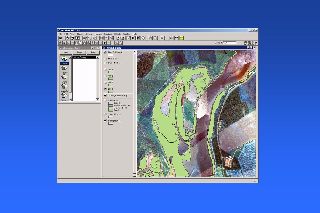
Vector data Land use parcels

19
Raster data

20
InputInput StorageStorage ManipulationManipulation QueryQuery AnalyzeAnalyze VisualizationVisualization Functions of a GIS Geographic data is the fuel of GIS.

21
GIS Is an Instrument for Implementing Geographic Thinking

22
PlanningPlanning AnalyzingAnalyzing ThinkingThinking MeasuringMeasuring DecidingDeciding Science Multidisciplinary Multidisciplinary Integrated Integrated Holistic Holistic

23
GIS Shows Context and Content

24
Watersheds Watersheds Communities Communities Neighborhoods Neighborhoods Ecosystems Ecosystems Context and Content Patterns Patterns Linkages Linkages Trends Trends Seeing the Whole Managing Places

25
GIS Is a Visual Language

26
Thematic layers contain features Points Lines Areas Text

27
… Maps There are many different kinds of maps...

29
GIS Provides the Framework for Studying Complex Systems

31
GIS Facilitates Learning About Earth and Its Life

32
GIS Integrates Our Knowledge About Places

33
Geography Can Integrate Data Visualizing Visualizing Connecting Connecting Relating Relating

34
GIS Helps Us Better Organize Our Institutions

37
Key Issues Availability Availability Cost Cost Ownership Ownership Copyright Copyright Metadata (information about data) Metadata (information about data) Data Models Data Models
 Metadata (information about data) Data Models Data Models")
38
ESRI Marine Data Model

40
The application of GIS is limited only by the imagination of those who use it. Jack Dangermond, President of ESRI

41
http://www.nynjcoast.org/VirtualEstuary/TheVirtualEstuary_Gateway.html

42
http://www.csc.noaa.gov/

43
http://www.nrri.umn.edu/coastalgis/

44
http://www.esri.com/industries/marine/

45
http://www.abdn.ac.uk/cmczm/about.htm
46
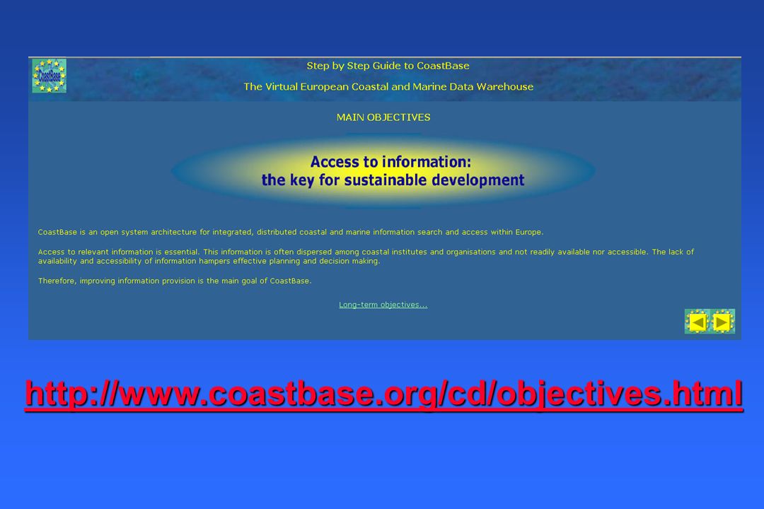
http://www.coastbase.org/cd/objectives.html

47
http://www.asrltd.co.nz/analysis.html

48
http://www.dep.state.fl.us/beaches/data/gis-data.htm
56
http://earth.google.com/

58
http://www.csc.noaa.gov/opis/

Similar presentations