Download presentation
Presentation is loading. Please wait.

1
Becoming a Modern Day Pirate: Geocaching In Action In compliance with federal laws, N C Public Schools administers all state-operated educational programs, employment activities and admissions without discrimination because of race, religion, national or ethnic origin, color, age, military service, disability, or gender, except where exemption is appropriate and allowed by law.

2
Idea Bin

3
Objectives Morning Participants will: Understand GPS technology and its daily uses Understand the process of GeoCaching Utilize the GPS device to find caches.

4
Objectives Afternoon Participants will: Define the elements of a good cache. Create and hide a curriculum-based cache Locate colleague’s caches

5
Your Ship’s Compass http://moodle.dpi.state.nc.us Agenda Documents and Downloads Equipment Lesson Plans

6
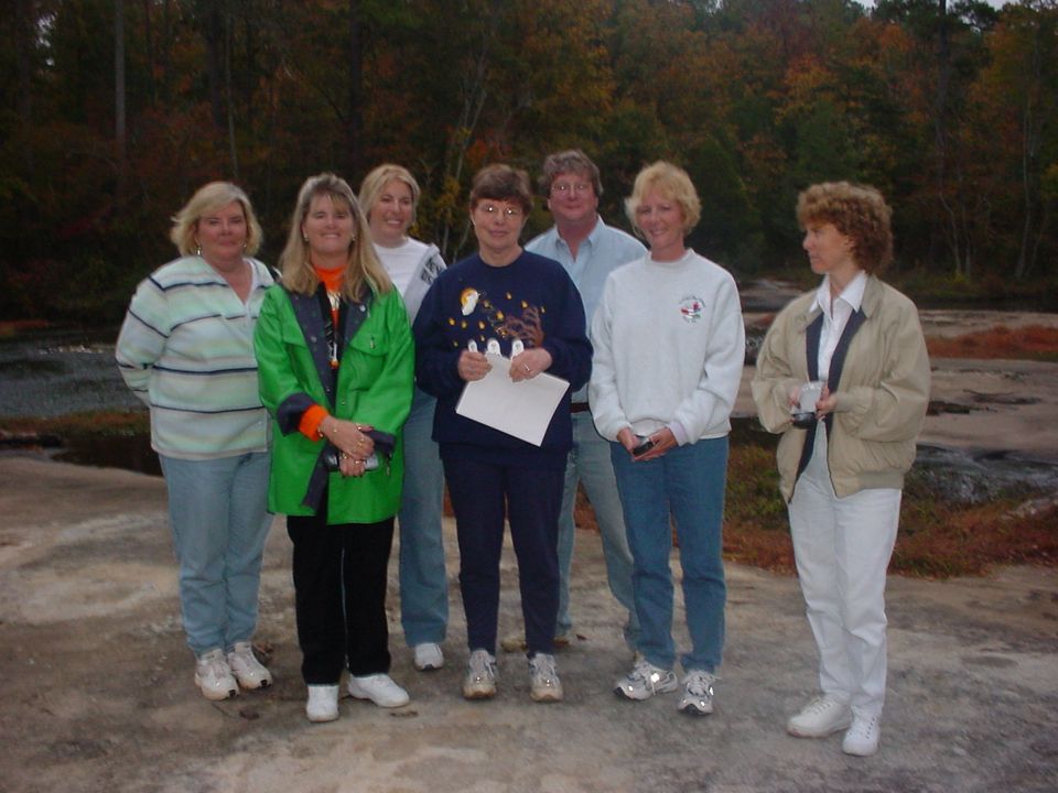
Introduction to Geocaching A Glimpse at the Sport…

7
A Glimpse at the Sport…

8
What is GeoCaching? GEO=geography CACHING=hiding a cache (in hiking/camping a place for concealing and preserving provisions)
.")
9
Who’s Geocaching? There are 461447 active caches worldwide. In the last 7 days, there have been 301857 new logs written by 45064 account holders.

10
Agenda Becoming A Modern Day Pirate Charting Your Course Finding the Bounty X Marks the Spot Reflection Lunch Revisit Reflection Burying Your Own Treasure Sailing New Seas Final Reflection Evaluation/Homework

11
The participant will understand GPS technology and its daily uses.

12
GPS Devices and How They Work

13
The GPS : What Is It? Global Positioning System Electronic device that can determine approximate location (within around 6- 20 feet) Coordinates are usually given in Longitude and Latitude May include its own maps, built-in compass or voice navigation
 Coordinates are usually given in Longitude and Latitude May include its own maps, built-in compass or voice navigation.")
14
United Streaming The GPS : How Does It Work?

15
For More Information Check Out: PBS, NOVA Online: GPS: The New Navigation http://www.pbs.org/wgbh/nova/longitude/gps.html

16
Types of Devices

17
GPS Devices ANY GPS device will work! Simple Complex Multi-use

18
GPS Devices Costs… $100 - $1000

19
The participant will understand the process of geocaching.

20
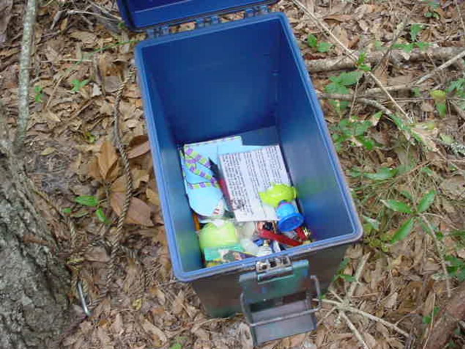
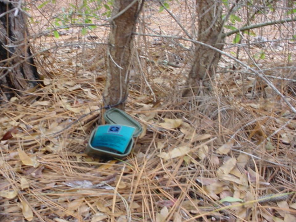
If I Were a Geocache....

29
Break—15 minutes

30
Want to know more about GeoCaching? GeoCaching.com answers all your questions! Find local caches using your zip code FAQs Finding your first cache Creating your first cache

31
Rules of the Cache Respect Your Environment Respect Others Protect Yourself Respect the Cache Dress Appropriately Asking Permission

32
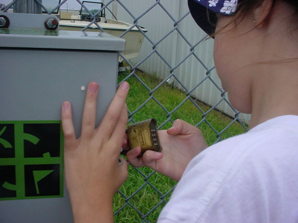
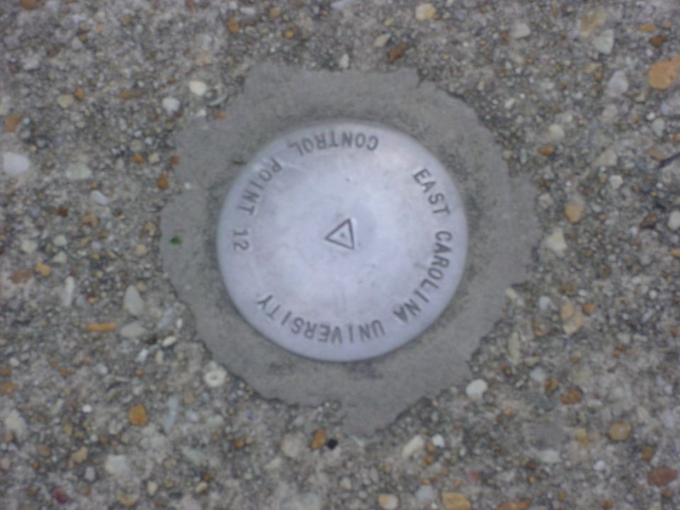
Steps to Finding a Cache 1.Research 2.Preparation 3.The Hunt 4.The Find

33
Locating a Cache Degrees of Error Acts of Nature Creative Thinking

34
The participant will utilize the Garmin to locate caches.

35
Permission given by Garmin to use screenshots.

36
Warnings and Precautions NOTE: The eTrex Legend is designed to be held and operated in the left hand, but it can be held and operated using the right hand as well to suit your preference. The Global Positioning System (GPS) operated by United States government US solely responsible for GPS accuracy and maintenance. system is subject to changes changes could affect accuracy /performance of GPS equipment Karen Creech, Educator-on-Loan, NCDPI
 operated by United States government US solely responsible for GPS accuracy and maintenance. system is subject to changes changes could affect accuracy /performance of GPS equipment Karen Creech, Educator-on-Loan, NCDPI.")
37
Features and Button Function Karen Creech, Educator-on-Loan, NCDPI Press IN to make selection.

38
Features and Button Function Karen Creech, Educator-on-Loan, NCDPI

39
Features and Button Function Battery Compartment Karen Creech, Educator-on-Loan, NCDPI

40
Main Page Basics Navigation PageMap PageTrip PageMain PageSatellite Page Each Page provides different types of navigation information. Karen Creech, Educator-on-Loan, NCDPI

41
Menu Buttons Karen Creech, Educator-on-Loan, NCDPI

42
Satellite Page If can take as much as 15 or more minutes to acquire a satellite signal. eTrex relies on clear view of the sky. GPS signals do not travel through rocks, buildings, people, metal or heavy tree cover. At least 3 satellite signals are needed to determine your location. “D” appears when differential correction data has been received. Karen Creech, Educator-on-Loan, NCDPI

43
Navigation Page Name of Waypoint is determined by user. Displays present position and direction of movement. Pointer always points directly to the destination. If pointer points in any direction other than up, turn toward that direction. Karen Creech, Educator-on-Loan, NCDPI

44
Main Page Power, Date/Time and Backlight Status Window Karen Creech, Educator-on-Loan, NCDPI

45
Main Menu Pages If time displayed is not correct, go to Setup to adjust time on the Time Icon. To Exit a Main Menu Page, click on X. Karen Creech, Educator-on-Loan, NCDPI

46
Navigate to Mark Page Use Click Stick to move to Mark. Press IN to select Mark. Karen Creech, Educator-on-Loan, NCDPI

47
Mark Waypoint Page To delete a waypoint, click on Options button. Choose Delete Waypoint. Waypoint Symbol Field Waypoint Name Field Longitude/Latitude Coordinates Field Use the Click Stick to move to each section. To select a section, Push IN on the click stick. Karen Creech, Educator-on-Loan, NCDPI

48
Editing a Field Use Keyboard to edit. NOTE: There are options available on the Keyboard; Back, Space, Shift, Left Arrow, and Right Arrow. After editing click OK on Keyboard. To save this Waypoint, you must click OK again. Karen Creech, Educator-on-Loan, NCDPI

49
Navigate to Find Page Use Click Stick to move to Find. Press IN to select Mark. Karen Creech, Educator-on-Loan, NCDPI

50
Find Menu 1. Choose Waypoints 3. Choose from List 2. Choose By Name Nearest NOTE: There are options available on the Keyboard; Back, Space, Shift, Left Arrow, and Right Arrow. After editing click OK on Keyboard. Karen Creech, Educator-on-Loan, NCDPI

51
Waypoint HOME Goto Waypoint Click Goto to begin navigating to Waypoint. Karen Creech, Educator-on-Loan, NCDPI

52
Coordinates

53
And We’re Off GeoCaching…

54
Debrief Checking your coordinates Oops/Wows

55
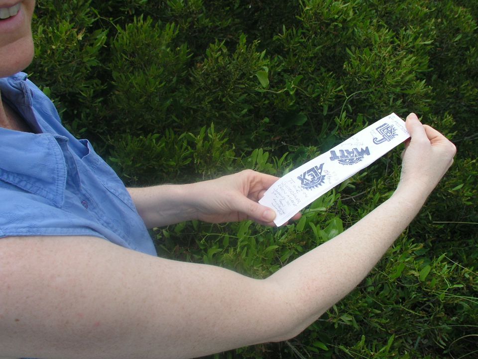
Reflection in Pairs 3-2-1 3 Things You Learned 2 Things You Still Want to Know 1 Question You Have Bonus: Write a hint for one of the caches you located today.

56
Lunch

57
Reflection in Pairs 3-2-1 3 Things You Learned 2 Things You Still Want to Know 1 Question You Have Bonus: Write a hint for one of the caches you located today.

58
The participant will learn how to create a good cache.

59
What Makes a Good Cache? Guide to Creating and Hiding a Cache http://www.geocaching.com/articles/making.asp Location, Location, Location Types of Caches Micro/Multistage Cache Virtual Cache Hidden Under Bridge Traditional Cache

60
One Sample Assignment Research a location in your community that you think would make a GREAT geocache location. Create a multimedia presentation to persuade your classmates that this should be the location of the class cache. Template available online.

61
Setting Your Own Cache In groups of 3: Locate a cache location Determine cache type and contents Determine SCOS objectives that correlate Create cache sheet Set cache for classmates Time limit: 45 minutes

62
Locating Another Cache Draw numbers Enter coordinates Locate cache Time limit: 30 minutes Return to class to debrief

63
Break—15 minutes

64
Classroom Implications… Lesson Plan Template Brainstorm list of possible activities

65
Final Reflection Summarize the lessons learned from the training into a catchy phrase or single thought! www.cdc.gov/pcd/issues/ 2004/jul/04_0043a.htm

66
Evaluation/Homework

Similar presentations


 Community Based Abstinence Education September, 2009.>")


