Download presentation
Presentation is loading. Please wait.

1
Urban Sprawl Where Will It End?

2
What do these areas have in common?
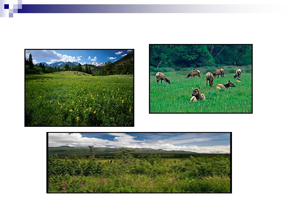
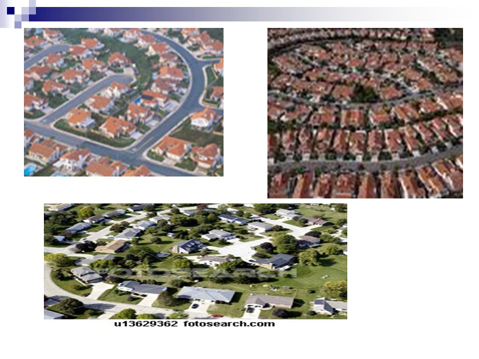
Hickory Woods Partridge Farms Meadowlands What they have in common: Houses—lots of houses All are housing developments. Name after the types of land that were cleared in order to build new homes. No more woods, farms, or meadows.

6
Urban Developments For many decades, urban development around the world and especially in the United States & Canada has been moving out from cities to suburbs. It is an area of housing built at the edge of a city. Developers create suburbs by buying up farmlands or forested areas outside a city. Used for housing tracts, shopping centers, and office parks. Only way to get there is through traffic-clogged roads.

7
Problems Rapid and often poorly planned spread of cities and suburbs is known as urban sprawl, where they move outward into rural areas.

8
The Geographic Setting
Smaller cities or towns with open land between them and the central city are called exurbs. The city, its suburbs, and exurbs link together economically to form a functional area called a metropolitan area. A megalopolis is formed when several metropolitan areas grow together. Examples: Boston, New York, Philadelphia, Baltimore, and Washington, D.C. Urbanization, the growth in the number of cities and the resulting changes has occurred because more people moved to cities to find work.

9
Land Use Patterns The land in cities is used for residential, industrial, and commercial purposes. The core of a city is almost always based on commercial activity. The area of commercial activity is the city’s central business district (CBD) Cities have various functions, including to provide retailing, entertainment, transportation, business, education, and government services. Cities also often provide wholesaling, manufacturing, residential, recreation, religious, and social services.
 Cities have various functions, including to provide retailing, entertainment, transportation, business, education, and government services. Cities also often provide wholesaling, manufacturing, residential, recreation, religious, and social services.")
10
Concentric Zone Model Urban core: The older part of a city. CBD
Urban fringe: the ring of small towns and suburbs that surround a big city. Rural fringe: the small towns, farms, and open spaces that lie just beyond a city’s suburbs.

11
The Concentric Zone Model: The Concentric ring model also known as the Burgess model is one of the earliest theoretical models to explain urban social structures. It was created by sociologist Ernest Burgess in 1925.

12
Multiple Nuclei Model The multiple nuclei model is an ecological model put forth by Chauncy Harris and Edward Ullman in the 1945 article "The Nature of Cities." The model describes the layout of a city. It notes that while a city may have started with a central business district, similar industries with common land-use and financial requirements are established near each other. These groupings influence their immediate neighborhood. Hotels and restaurants spring up around airports, for example. The number and kinds of nuclei mark a city's growth. The theory was formed based on the idea that people have greater movement due to increased car ownership. This increase of movement allows for the specialization of regional centers (eg. heavy industry, business park). There is no clear CBD in this type of model.
. There is no clear CBD in this type of model.")
13
Sector Model The sector model also known as the Hoyt model was proposed in 1939 by economist Homer Hoyt. It is a model of urban land use and modified the concentric zone model of city development. The benefits of the application of this model include the fact it allows for an outward progression of growth however, like all models of urban form its validity is limited.

Similar presentations


 in 1939 Studied 64 widely distributed American cities Publication:>")


 Metropolitan area: Central city + Counties that commuters come from.>")


>")


 of the Suburbs>")

>")


