Download presentation
Presentation is loading. Please wait.

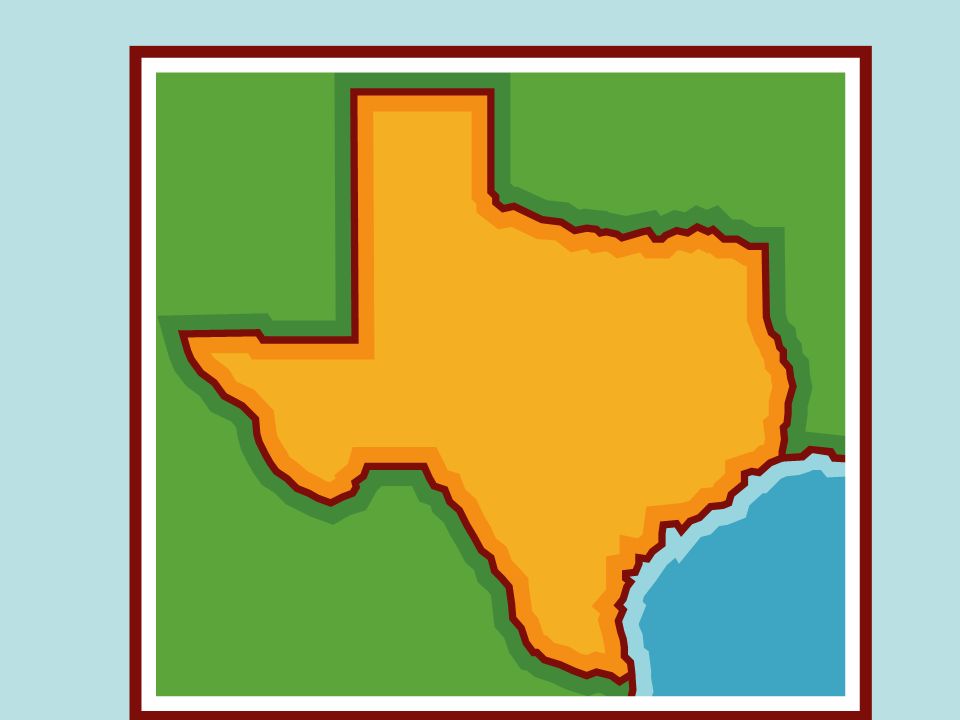
1
The most common landform in Texas
Plains

2
These are steep cliffs. escarpments

3
There is only one natural lake in Texas.
Caddo Lake

4
Large water source south of Texas
The Gulf of Mexico

5
Underground water ? aquifers

6
Your food, clothes, and shelter are influenced by …
Where you live

8
Edwards Aquifer

9
Water from Edwards Aquifer

10
Which aquifer is in the high plains of Texas?
The Ogallala Aquifer

11
Ogallala Aquifer

12
Water from the Ogallala Aquifer

13
Effects of Texas’ relative location

14
weather

16
Why do the mountains get more rain than the desert?
Clouds move upward.

19
This can happen when cool air meets warm air.
Violent storms

20
People bring ideas & culture from one place to another
Cultural Diffusion

21
Name three physical characteristics of geography.
Climate, plants, animals

22
Four human characteristics:
Language, religion, politics, architecture

23
language “Hello”

24
Religion “What do I believe in ?”

25
politics “How should my town be run ?”

26
architecture Things people build

27
3 ways humans have affected the environment in Texas:

28
1. polluted rivers

29
2. Polluted air

30
3. Trees have been cut down.

31
The most important mineral sources in Texas
Oil and natural gas

34
A renewable energy source
Solar power

37
The exact location of a place on the earth’s surface
Absolute location

38
The position of a place compared to another place
Relative location

39
Relationships linking people to their surroundings
Human-environment interaction

40
Human-environment interaction

41
Human-environment interaction

42
Human-environment interaction

43
Human-environment interaction

44
Human environment interaction
Relationships linking people to their surroundings

45
Human environment interaction

47
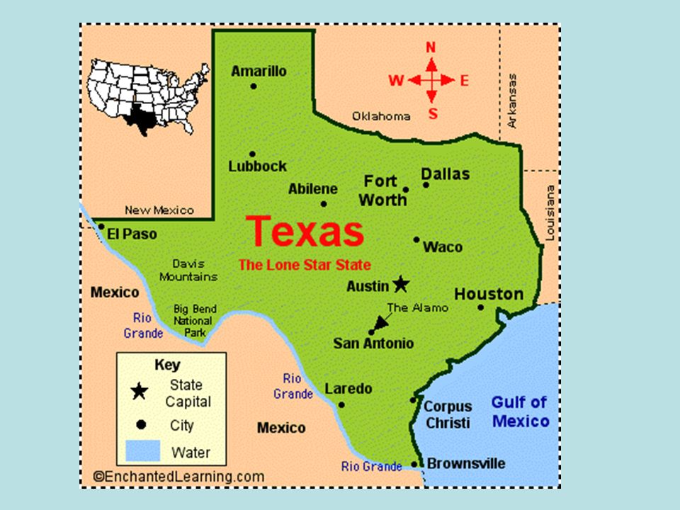
Largest city in Texas Houston

48
Houston

49
The only state larger than Texas
Alaska

51
Areas united by one or more common characteristics
regions

52
Texas Regions Great Plains Central Plains Mountains & Basins
Coastal Plains

53
A major manufacturing and trade center
metroplex

54
Dallas

55
Fort Worth

57
Largest city in Mountains & Basins Region
Great Plains Central Plains Mountains & Basins Coastal Plains

58
El Paso

60
Largest city in the Great Plains
Central Plains Mountains & Basins Coastal Plains

61
These rivers border Texas

63
Red River, Sabine, Rio Grande

64
This river runs between Texas and Mexico.
What is the Rio Grande?

65
This river borders Oklahoma.
The Red River

67
There is only one natural lake in Texas.
What is Caddo Lake ?

68
This region has the least rain
Great Plains Central Plains Mountains & Basins Coastal Plains Mountain & Basins

69
Desert plants are found in this region
Mountain Basin Region

70
This region has most of the rain
Great Plains Central Plains Mountains & Basins Coastal Plains Coastal Plains

71
This region has most of the people
Great Plains Central Plains Mountains & Basins Coastal Plains Coastal Plains

72
Amarillo

75
Where is the mountain basin region?
West Texas

76
This city is the capital of Texas.
What is Austin ?

77
This is an underground water supply.
What is an aquifer ?

78
A weakness in the earth’s crust
fault

81
An island that protects the land
Barrier island

84
The Galveston Sea Wall

Similar presentations


 from east to.>")


