Download presentation
Presentation is loading. Please wait.

1
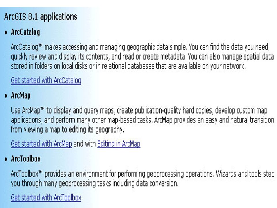
EAS781 Practical Geophysics: The Tools and How to Use Them ArcGis Introduction ArcView ArcInfo ArcGis ?

4
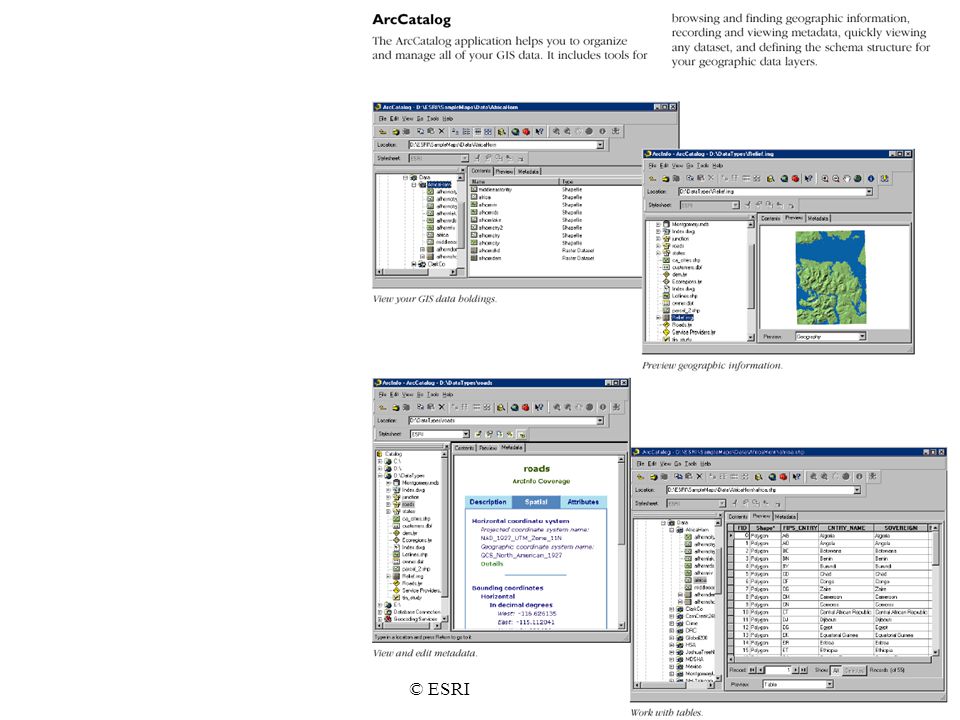
© ESRI

7
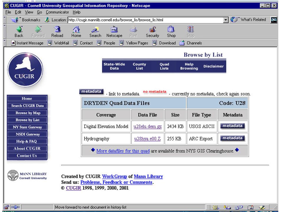
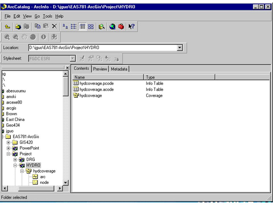
Using Windows NT explorer, Add a folder(“Project) on your computer. Within the Project directory, add some subdirectories for storing your input. Downloading or collecting what you need the spatial data. (The Cornell University Geospatial Information Repository (CUGIR) at the at the Mann Library website is quite useful). http://cugir.mannlib.cornell.edu/ Collecting the data what you need
 at the at the Mann Library website is quite useful). Collecting the data what you need.")
10
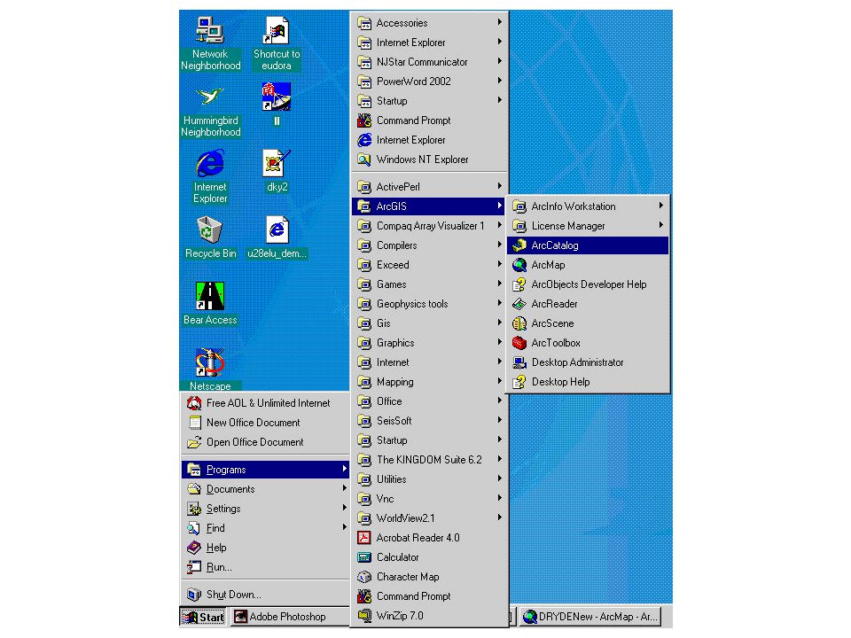
Start ArcGis on Lunpola

11
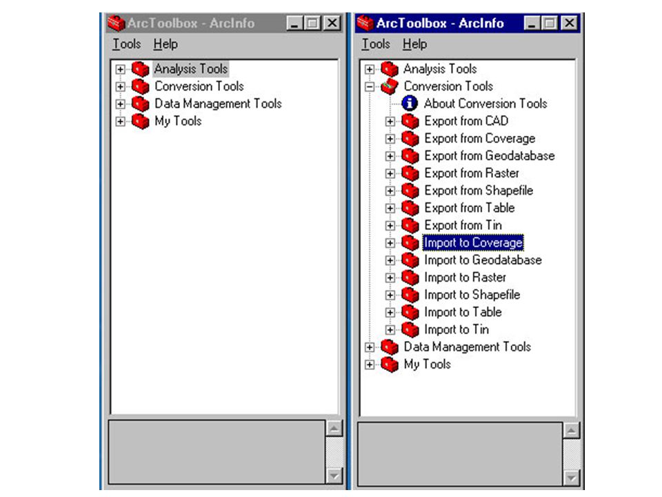
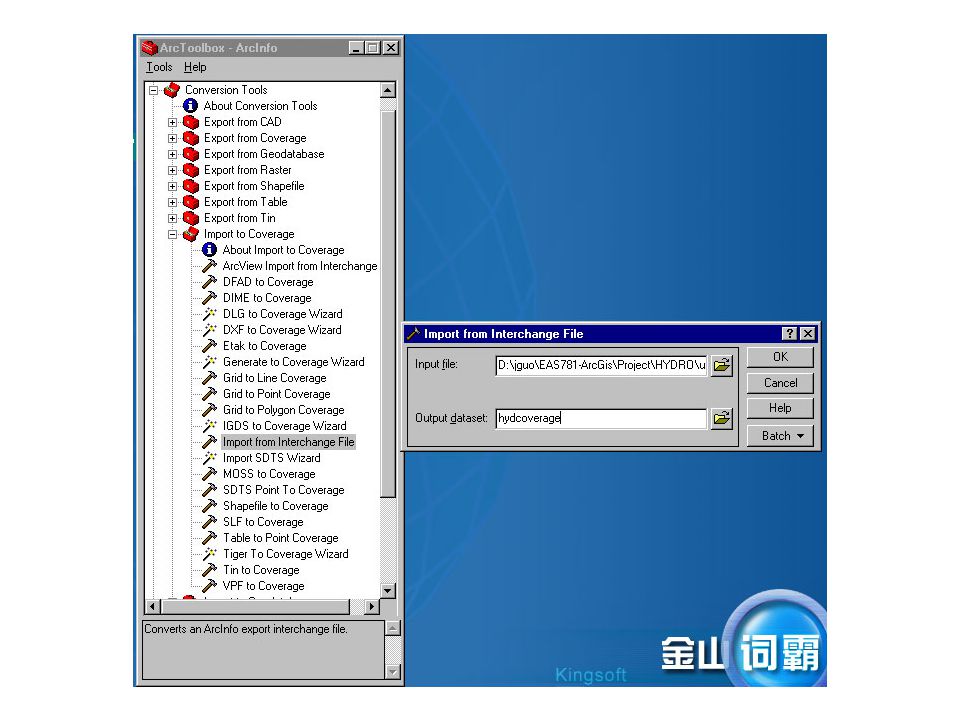
Importing your data into a usable GIS format by ArcToolbox.

14
Start ArcMAp

16
Accept the initial default settings

17
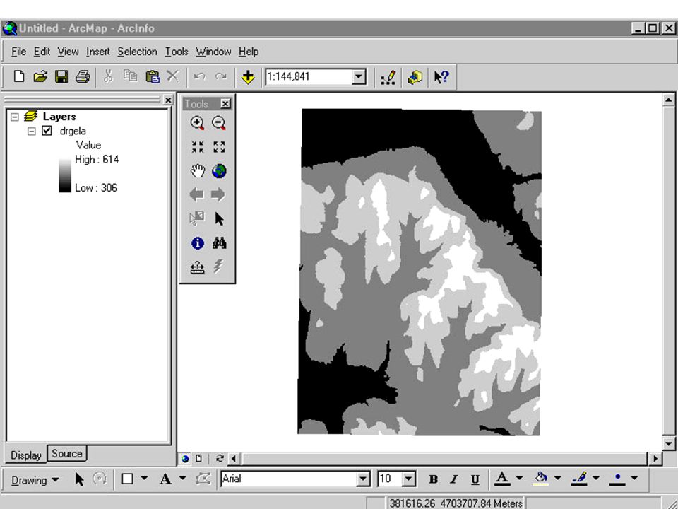
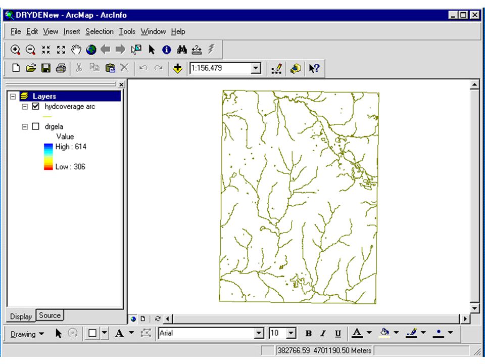
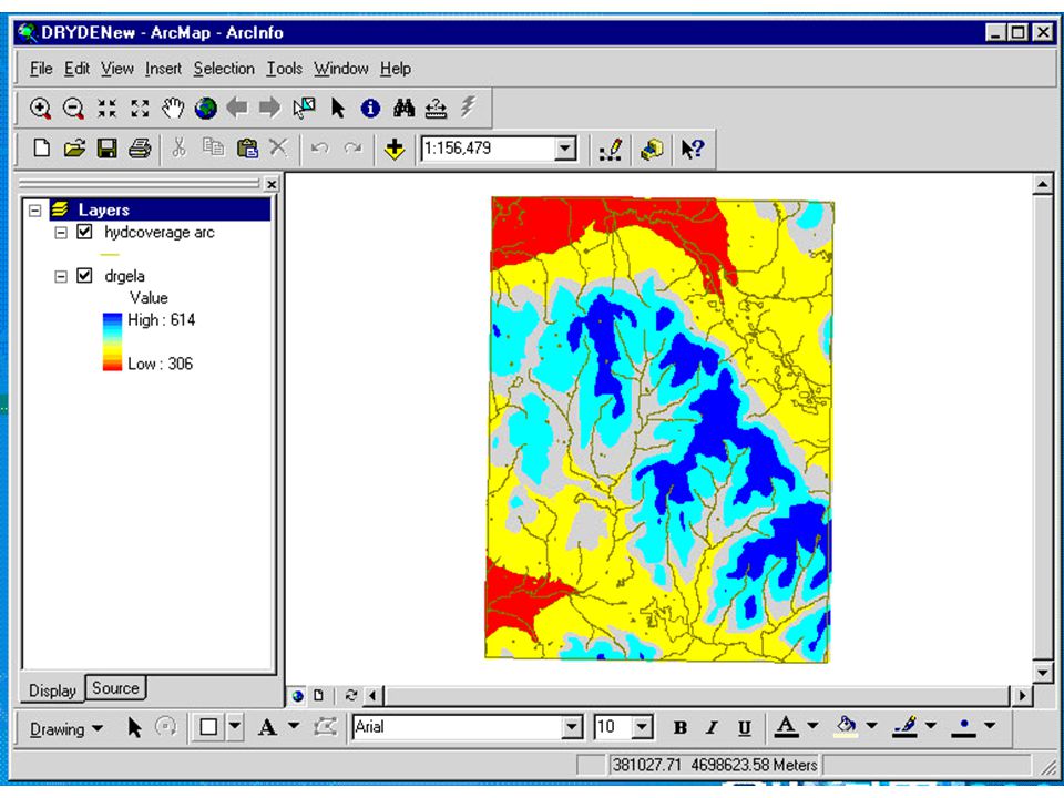
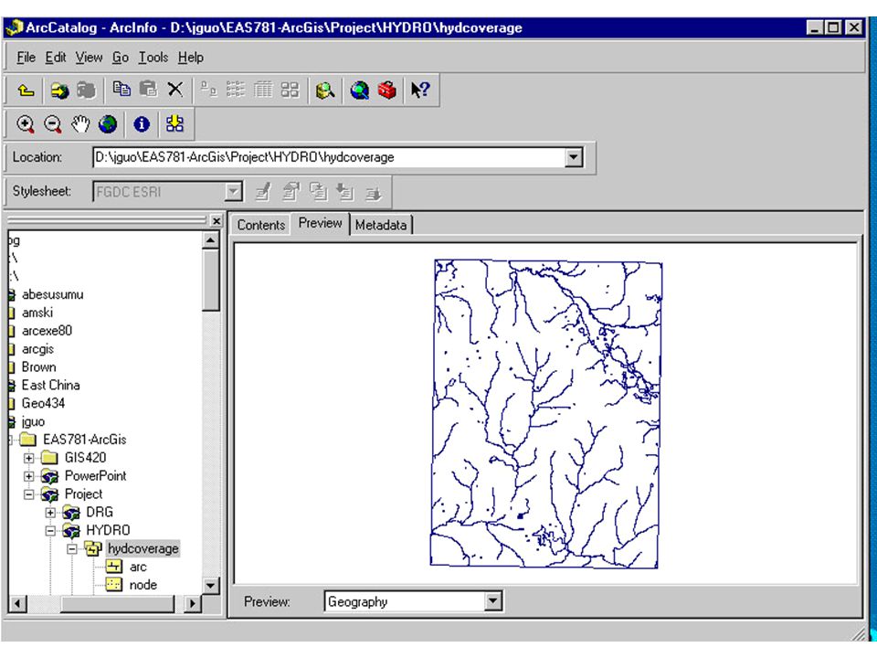
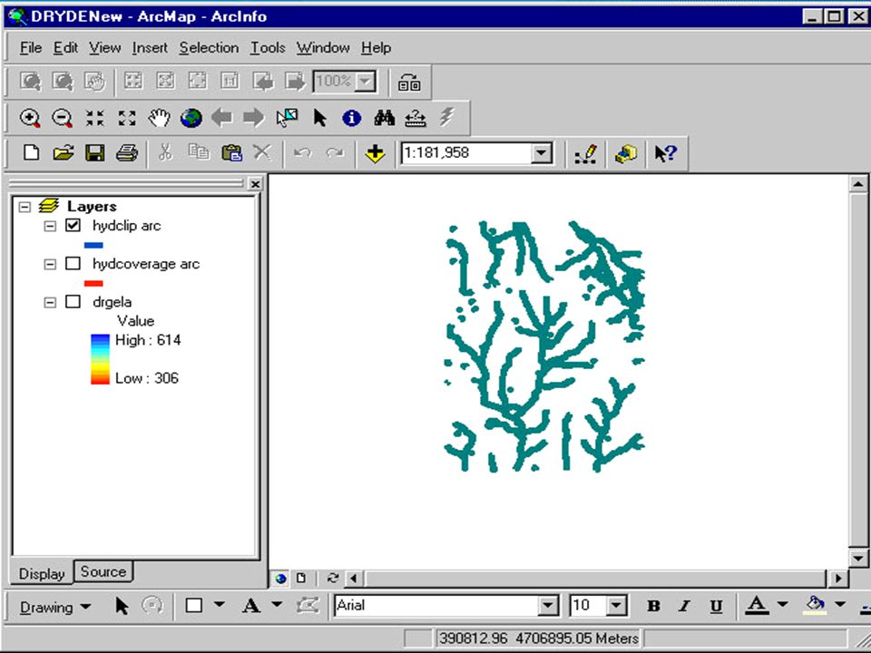
Add the coverage as a layer to the map

23
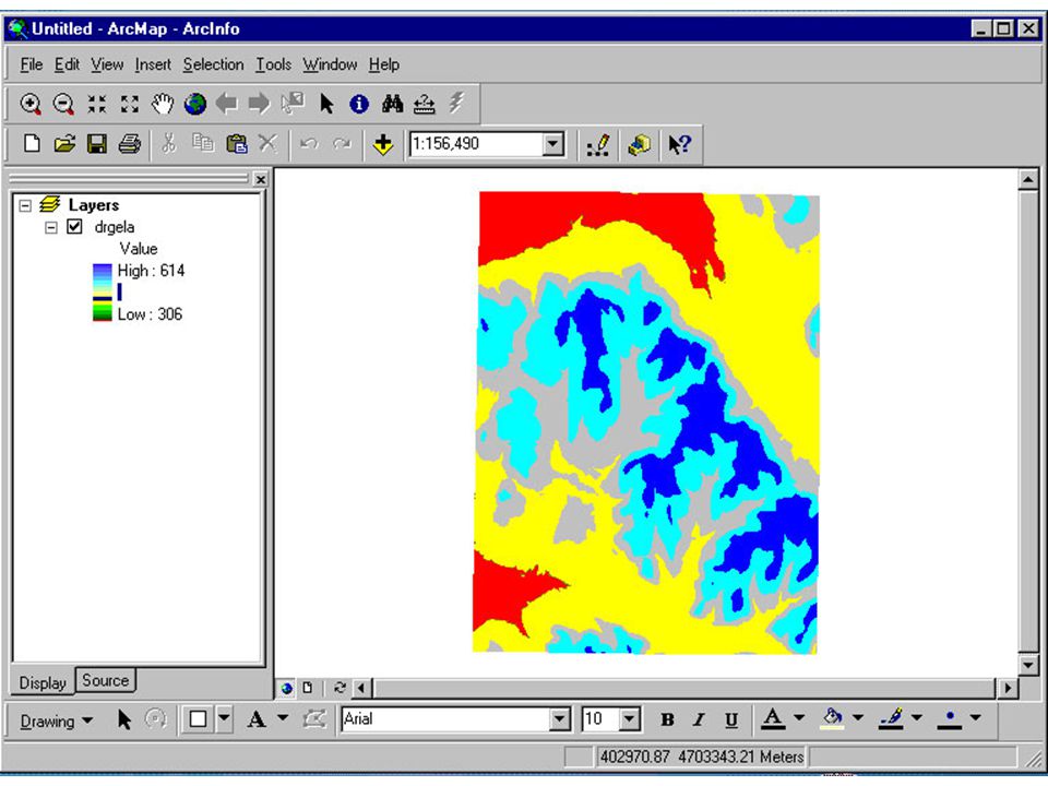
Changing scale

25
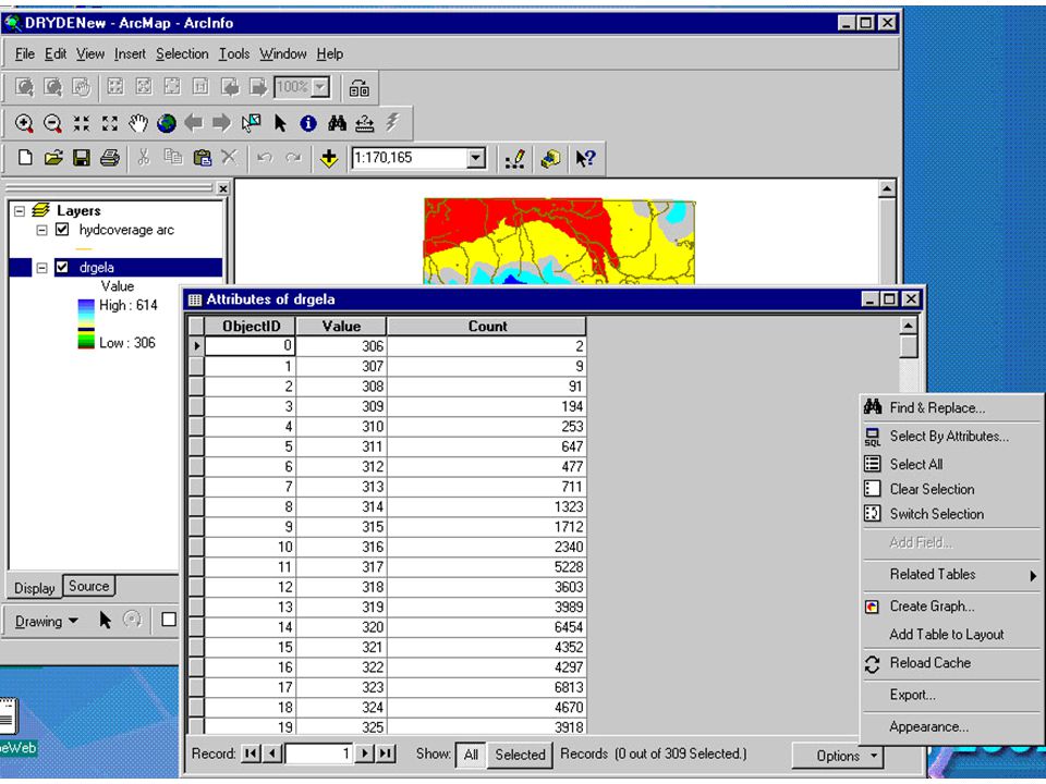
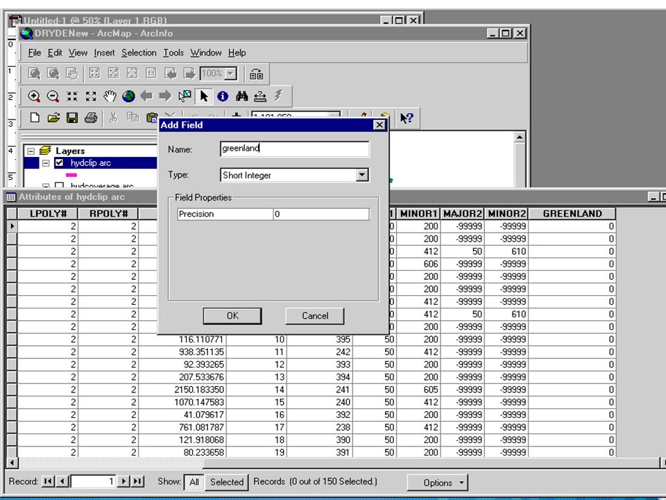
Open attribute table: Right click on the name of the coverage

26
Elevation Numbers of records

33
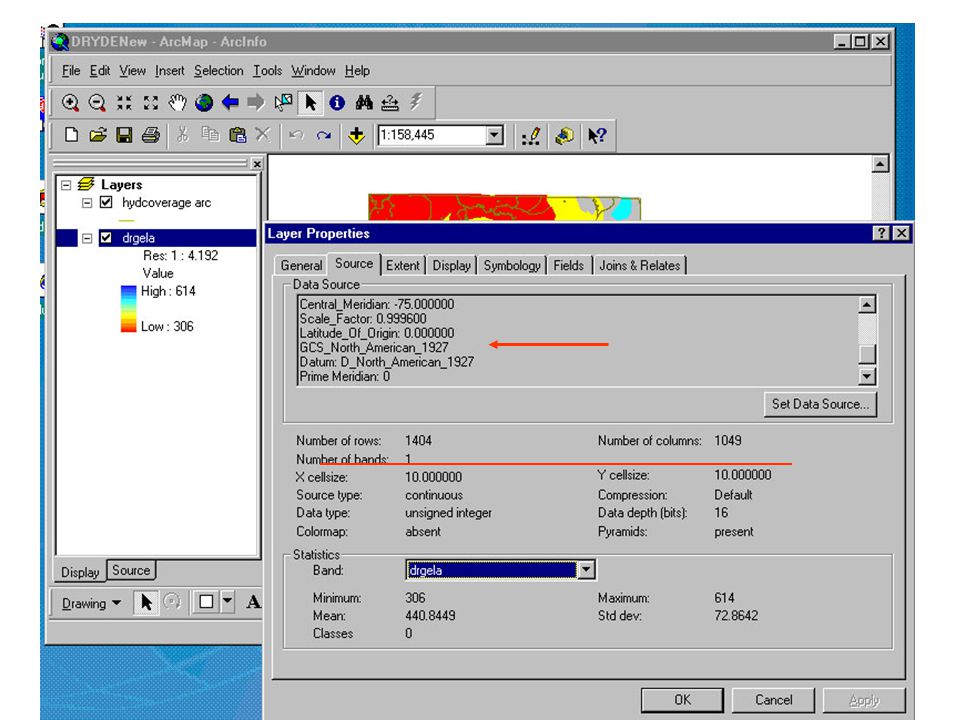
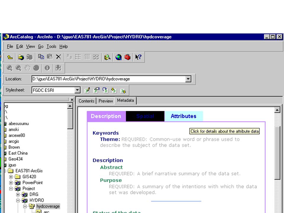
Metadata: Edit Create Import Export Poperties

34
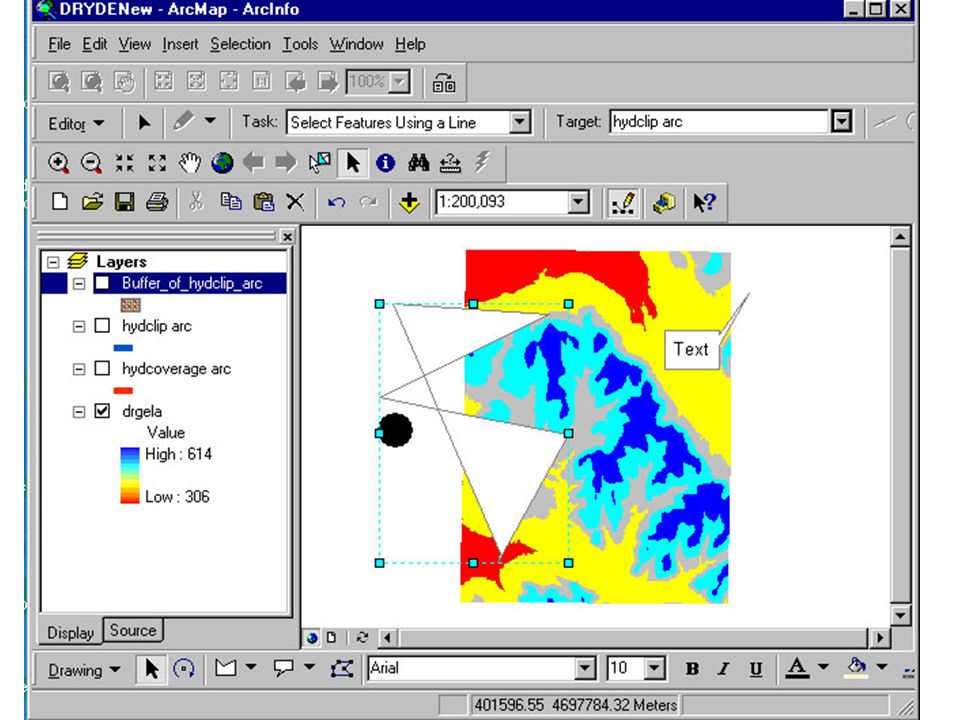
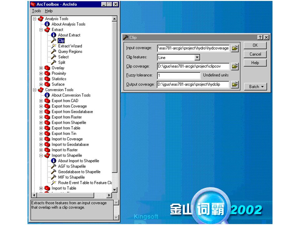
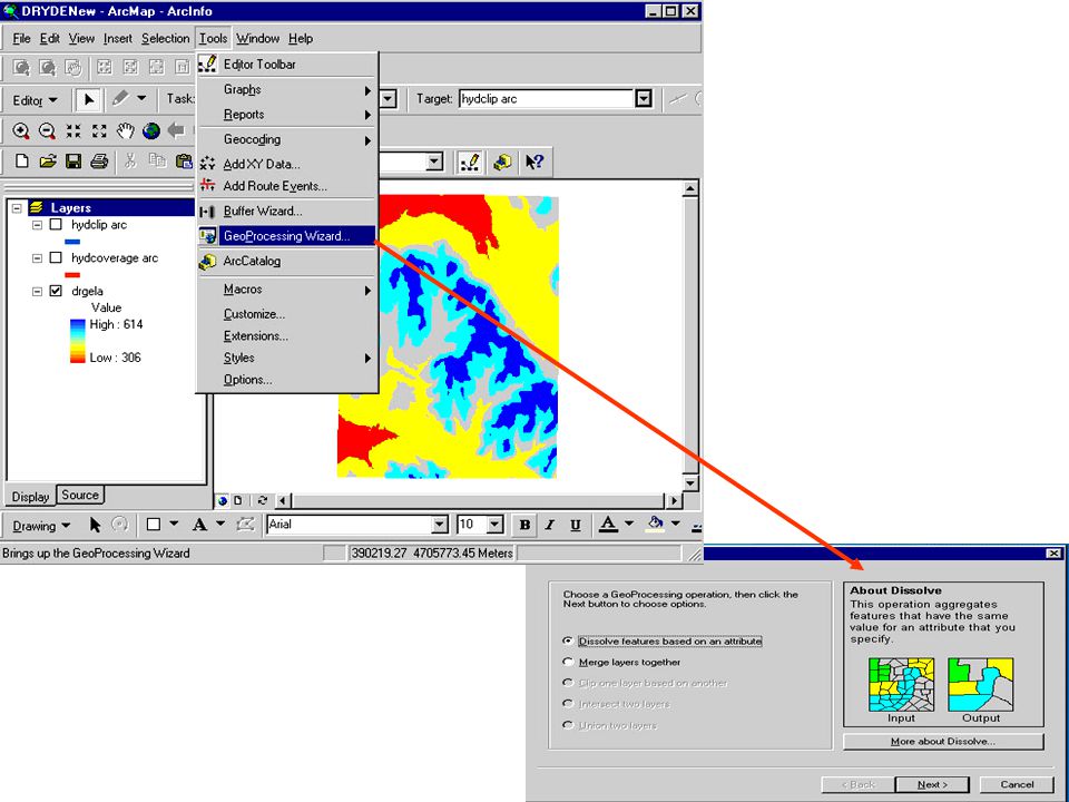
To clip a coverage. You have to create a text file using, and enter the necessary data using the appropriate format. After that, you need to run the arc/info. NW NE SE SW

35
ITEMS: instructs INFO to display or print the item structure of your currently selected data file, one of your currently related data files, or the system items file. GENERATE: adds features to a coverage. Coordinates for each feature may be entered from the terminal or from a file. BUILD: creates or updates a feature attribute table for a coverage. DESCRIBE:provides a detailed description of a geographic data set and its contents. LIST: lists item values for all records in the specified INFO data file. The commands are used to create “clipcov”

38
Editing Table

40
Right click on the TOC to open field calculator

41
Change projection

42
Building topology

Similar presentations


 Zeng January 19, 2011.>")


