Download presentation
Presentation is loading. Please wait.

1
Highways in the Sea (Chapter 9)
Surface Currents Deep Currents Studying Ocean Currents

2
What causes currents? Wind causes surface currents (and waves)
Frictional force transfers energy from air to water Changes in sea level across distance causes surface currents Pressure gradient (water wants to be level due to force of gravity) Coriolis effect deflects current direction (so does land) Changes in water density causes surface and deep currents (dense water sinks, gravity again)
 Coriolis effect deflects current direction (so does land) Changes in water density causes surface and deep currents (dense water sinks, gravity again)")
3
Wind and currents

4
Surface Currents Are Driven by the Winds
Surface currents: composed of water flowing horizontally in the uppermost 400 meters (1,300 feet) of the ocean’s surface, driven mainly by wind friction. Winds, driven by uneven solar heating and Earth’s spin, drive the movement of the ocean’s surface currents. The prime movers are the powerful westerlies and the persistent trade winds (easterlies).
 of the ocean’s surface, driven mainly by wind friction. Winds, driven by uneven solar heating and Earth’s spin, drive the movement of the ocean’s surface currents. The prime movers are the powerful westerlies and the persistent trade winds (easterlies).")
5
What are some effects of ocean currents?
Transfer heat from tropical to polar regions Influence weather and climate Distribute nutrients and scatter organisms

6
Surface Gyres A combination of four forces – surface winds, the sun’s heat, the Coriolis effect, and gravity – circulates the ocean surface clockwise in the Northern Hemisphere and counterclockwise in the Southern Hemisphere, forming gyres.

7
Seawater Flows in Six Great Surface Circuits
Geostrophic gyres are gyres in balance between the pressure gradient and the Coriolis effect. Of the six great currents in the world’s ocean, five are geostrophic gyres.

8
What currents are found within geostrophic gyres?
Western boundary currents – These are narrow, deep, fast currents found at the western boundaries of ocean basins. Ex: The Gulf Stream; East Australian Current Eastern boundary currents – These currents are cold, shallow and broad, and their boundaries are not well defined. Ex: The Canary Current; West Australian Current

9
Surface Currents Gyres and Boundary Currents

10
Wind Can Induce Upwelling near Coasts
Coastal upwelling. In the Northern Hemisphere, coastal upwelling can be caused by winds from the north blowing along the west coast of a continent. Water moved offshore by Ekman transport is replaced by cold, deep, nutrient-rich water.

11
Vertically flowing currents
Upwelling - upward flow of deep water to surface (brings nutrients to the euphotic zone) Downwelling - downward flow of surface water towards bottom
 Downwelling - downward flow of surface water towards bottom.")
12
ENSO

13
L Moist air Rainfall rises H 180º Surface winds Warm-water pool
200 m Surface winds Warm-water pool Thermocline Upwelling Stepped Art Fig. 9-19a, p. 249

14
El Niño and La Niña Are Exceptions to Normal Wind and Current Flow
An El Niño Year A Non-El Niño Year In an El Niño year, upwelling of nutrient-rich water is reduced or eliminated.

15
El Niño Southern Oscillation (ENSO)
El Niño is a buildup of warm water in the Central and Eastern Equatorial Pacific. Normal Pacific circulation El Niño Pacific circulation

16
ENSO effect on Atlantic hurricanes?
El Niño conditions are associated with less active hurricane seasons due to wind shear. La Niña conditions are associated with more active hurricane seasons.

17
The Florida Current/Gulf Stream (moves average 55,000,000 cubic meters/second)
")
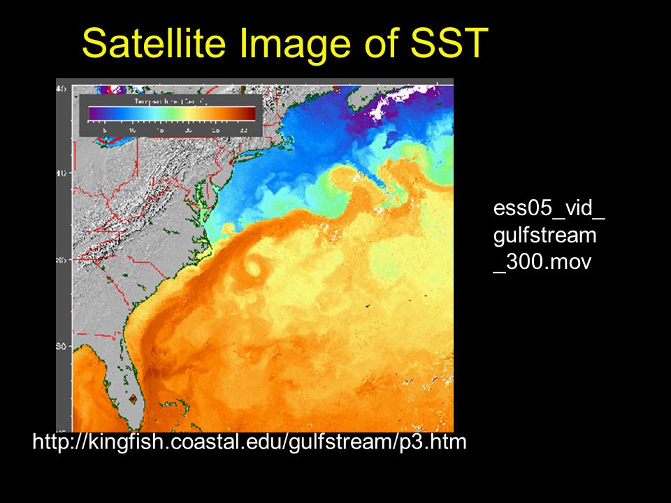
18
Satellite Image of SST ess05_vid_gulfstream_300.mov
19
“Highway Gulfstream” The Florida Current and the Gulfstream moderate the sea and air temperatures in the North Atlantic AND transport plankton and fish from the Florida Straits to the North Atlantic (National Geographic Video clip)
")
20
Heat Transport and Climate
Currents play a critical role by transporting heat from warm areas to cool areas and affects climate by moderating temperatures. Without currents moving heat, the world’s climates would be more extreme.

21
Thermohaline Circulation Affects All the Ocean’s Water
The movement of water due to different densities is thermohaline circulation. Because the ocean is density stratified, the densest (heaviest) water is at the bottom. There are five common water masses: Surface water Central water Intermediate water Deep water Bottom water
 water is at the bottom. There are five common water masses: Surface water. Central water. Intermediate water. Deep water. Bottom water.")
22
Density layers

23
Thermohaline Flow and Surface Flow: The Global Heat Connection
The global pattern of deep circulation resembles a vast “conveyor belt” that carries surface water to the depths and back again. The slow-moving system is important in transporting water and heat.

24
Deep Currents How does thermohaline circulation differ from wind driven circulation? Remember thermohaline circulation (from the Greek thermo meaning heat and hales meaning salt) is water motion caused by differing water densities. More dense water sinks, displacing less dense water…
 is water motion caused by differing water densities. More dense water sinks, displacing less dense water…")
25
Great Ocean Conveyor Earth’s “air conditioning system” transports heat away from equator and circulates cold water to warm regions. Source: IPCC

26
Cold, salty water from the arctic sinks and follows bottom topography downhill into the Atlantic basin. This begins the deep layer of ocean conveyor belt.

27
Current measurements How do we know current speed and direction?
Two methods: 1. Lagrangian method (aka float method): current is studied by following a drifting object, or drifting objects. 2. Eularian method (aka flow method): current direction and velocity measured from stationary location.
: current is studied by following a drifting object, or drifting objects. 2. Eularian method (aka flow method): current direction and velocity measured from stationary location.")
28
Acoustic Doppler Current Profiler (ADCP)
")
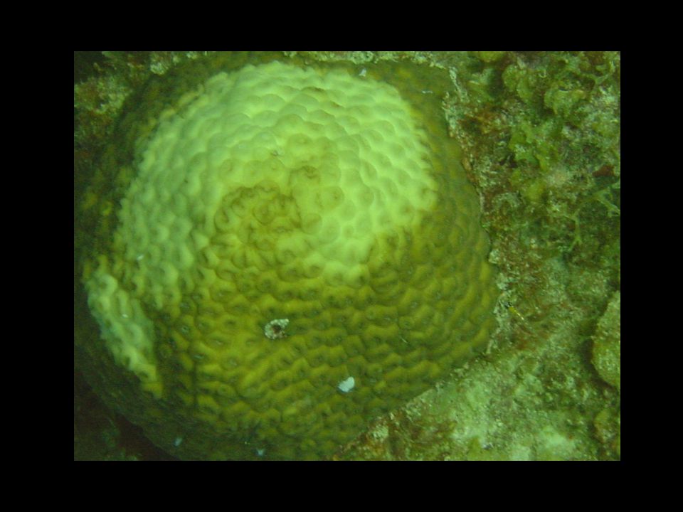
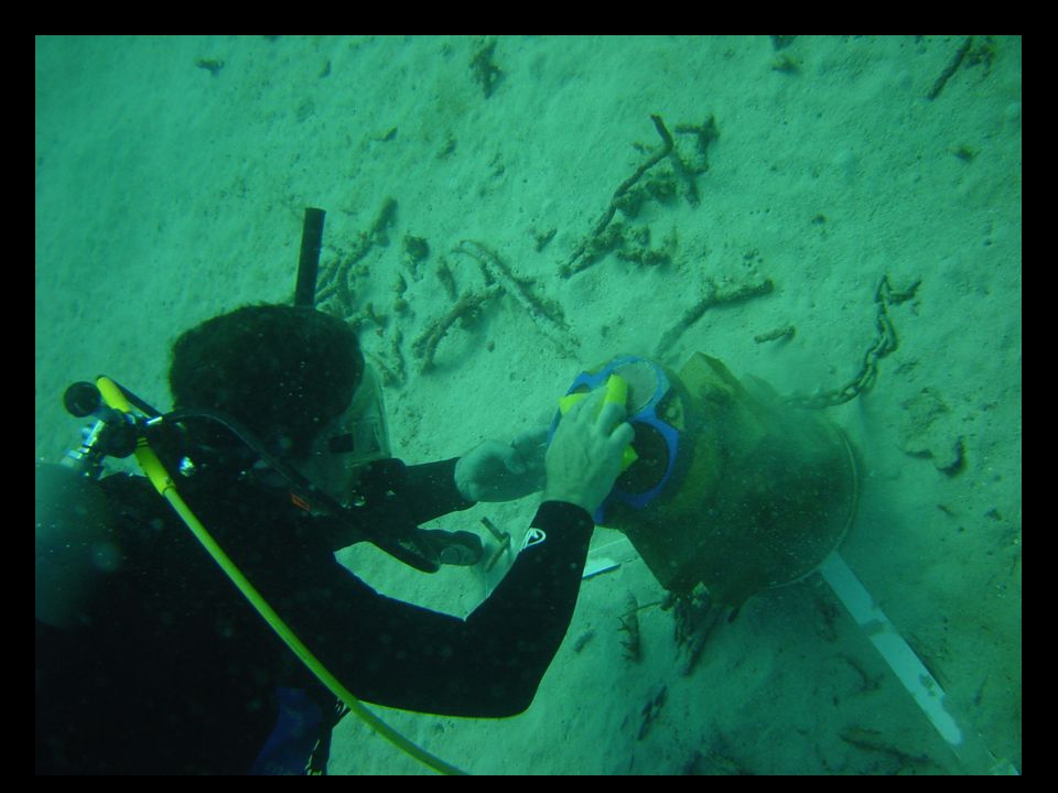
29
St. Croix, USVI Studying the environment and health of coral reefs

30
Coral bleaching…

Similar presentations


 EarthsClimate_Web_Chapter.pdfEarthsClimate_Web_Chapter.pdf, p. 22-24.>")


