Download presentation
Presentation is loading. Please wait.

1
MAPPIN(G) PEACE THE EUROPE OF YOUNGS In the last 200 years Trieste (Italy) has been mapped in several geodetic and cartographic systems, having been part of the Austrian Empire and the of the Italian Kingdom, till 1943; then Trieste became a land of Germany till 1945 when has has been occupied for 40 days by the Yugoslavian Army; then Trieste has been governed by Allied till 1954, when it has been joind to the Italian Republic. Austrian and Italian cartography are still in use; in the following some examples will be shown.

2
Austrian 1:1000 map of Trieste At the beginning of 1900 Trieste has been mapped in scale 1:1000; this map has been used in the past as well as to day by the Company responsible of supplying water, electric power, gas. It has been updated and in 1990, also digitized, so to be used in a Geographic Information System.

3
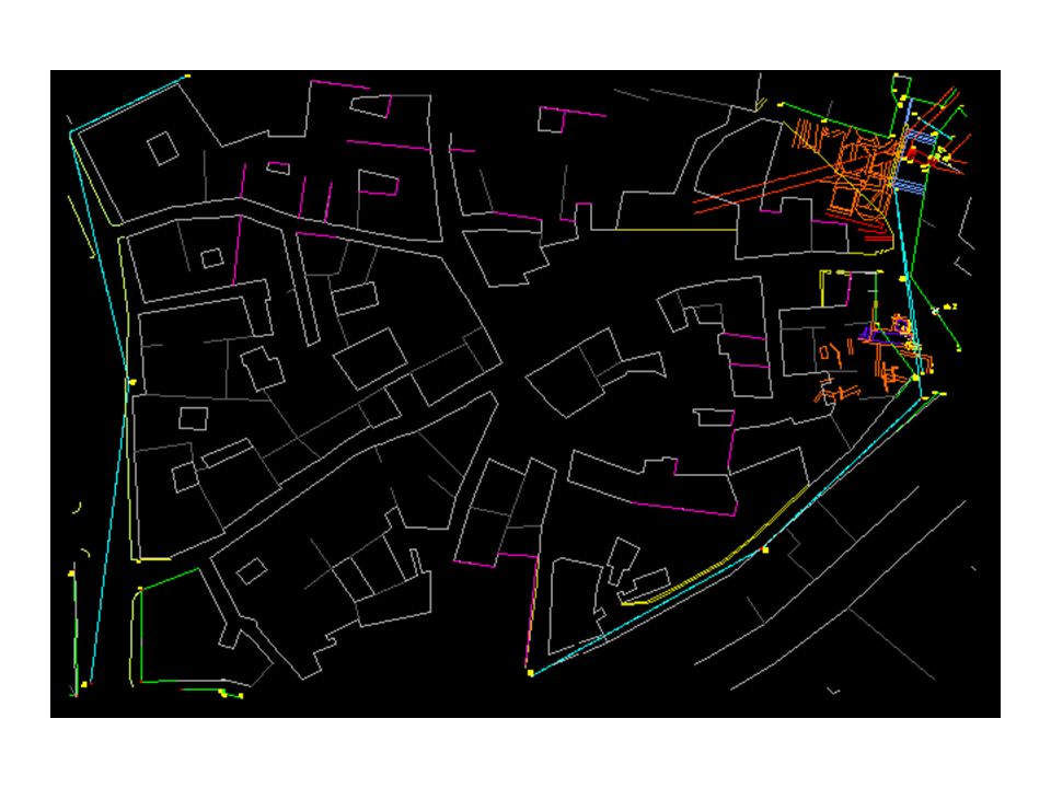
1:1000 map of Trieste This is the hystorical town centre of Trieste, with - in red-the Roman theater (emi- circle) and the Roman ruins close to the medieval castle (part of the walls are visible at the right corner.
 and the Roman ruins close to the medieval castle (part of the walls are visible at the right corner.")
5
URBAN In the frame of the Urban project to restore old buildings, some ruins of the Roman Tergeste appeared. Next slides show a 1:1000 map of the area and a recent aerophoto (courtesy Sopraintendenza Beni Ambientali and ACEGAS SpA)
.")
Similar presentations


 The Western Half.>")


