Download presentation
Presentation is loading. Please wait.

1
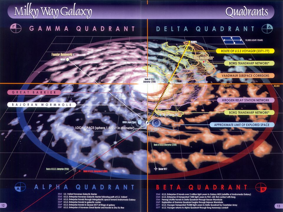
MAPS

5
Earth

6
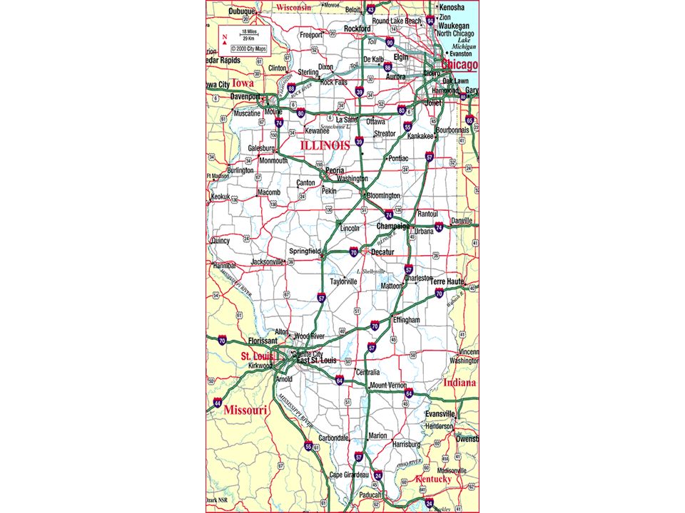
Road Map of US

10
Fallingwater

11
5 Things on a Map (B.O.L.T.S) B. Borders O. Orientation L. Legend T. title S. scale
 B. Borders O. Orientation L. Legend T. title S. scale")
12
Borders

13
Orientation

14
Compass Rose A design on a map that shows direction: north, east, south and west. North is always at the top of the compass rose; south is always at the bottom.

15
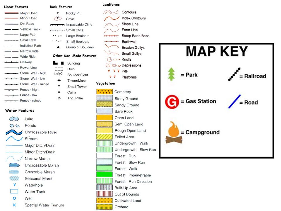
Legend

16
Map Legend The legend will tell what type of information is found on a map and the meaning of symbols. Symbols can change from map to map. There are both line symbols and point symbols. Font can also be used to distinguish important information on a map. Maps can have more than one legend.

18
Title Put a title on your map

19
Scale

20
Longitude/Latitude Latitudes: Lines that run east and west around the Earth. These lines measure distances north and south of the Equator. Longitudes: Lines that run from the North Pole to the South Pole. These lines measure distances east and west of the Prime Meridian. *** When determining a point of intersection, latitude is read always first.

21
Equator/Prime Meridian Equator: An imaginary line drawn halfway between the North & South poles. (0° latitude) Prime Meridian: An imaginary line drawn from the North Pole to the South Pole. (0° longitude)
 Prime Meridian: An imaginary line drawn from the North Pole to the South Pole. (0° longitude).")
Similar presentations


 imaginary lines drawn around the earth parallel to the equator definition – the distance north or.>")


