Download presentation
Presentation is loading. Please wait.

1
Delivering a Free Interactive Mapping Application for Field Locator Use Presented by Stephen W. Adams – Manager, Geospatial Services Tim Hoeflich – GIS Analyst, Geospatial Services

2
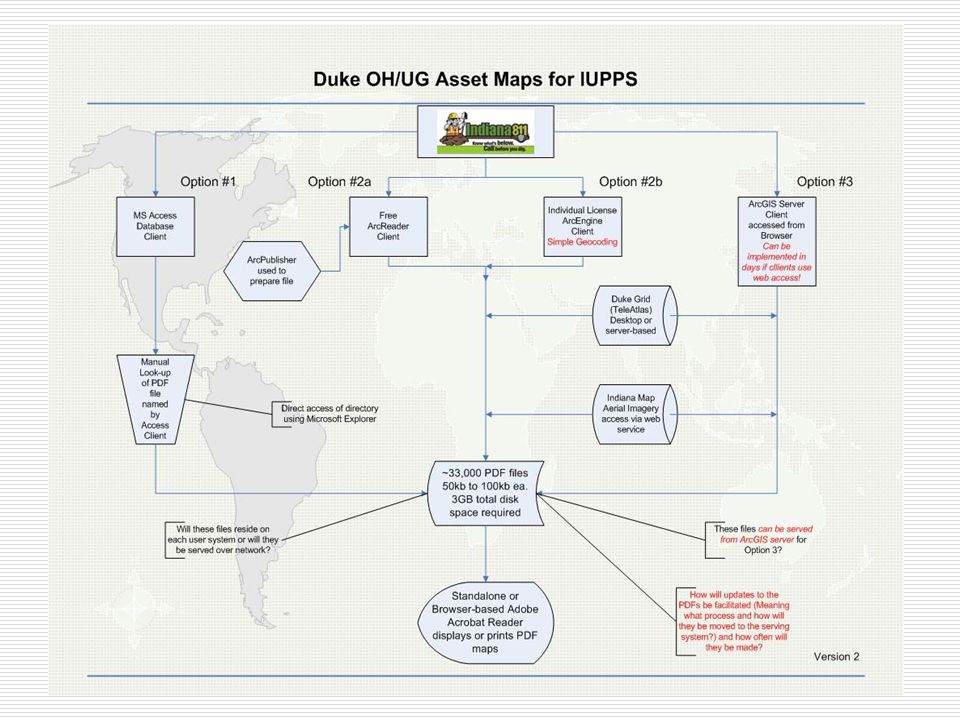
Agenda Background Problem Solution Demonstration Technical Details Distribution Issues Ongoing Maintenance Plan

3
Background Scope 245,000 locate tickets annually in IN 135,000 locate tickets annually in OH/KY Existing Process Request URD maps from district offices Return to field to mark facilities using URD maps as a guide

4
Problems Manual URD maps frequently unavailable, outdated, and/or inaccurate Office resources required to help contractors locate URD maps

5
Manual URD Map

6
Problems GIS-Generated URD maps do not contain secondary, secondary pedestals, or lighting information GIS-Generated URD maps only cover subdivision areas

7
GIS-Generated URD Map

8
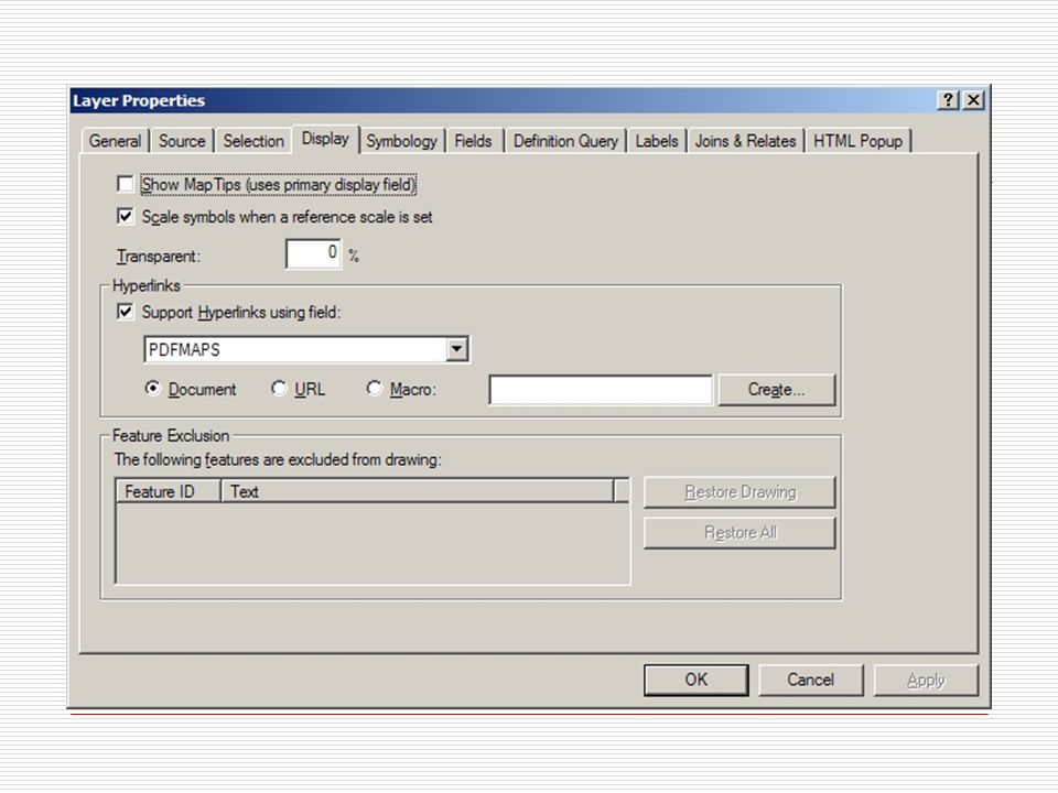
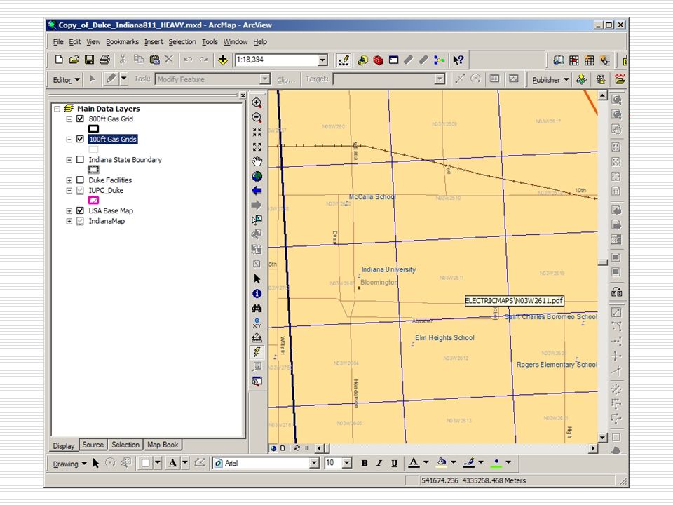
Solution Develop a low-cost (free?) application for contractor crews to view GIS data Must include: Secondary Secondary Pedestals Services Lighting Must allow users to interactively navigate to area of interest
 application for contractor crews to view GIS data Must include: Secondary Secondary Pedestals Services Lighting Must allow users to interactively navigate to area of interest")
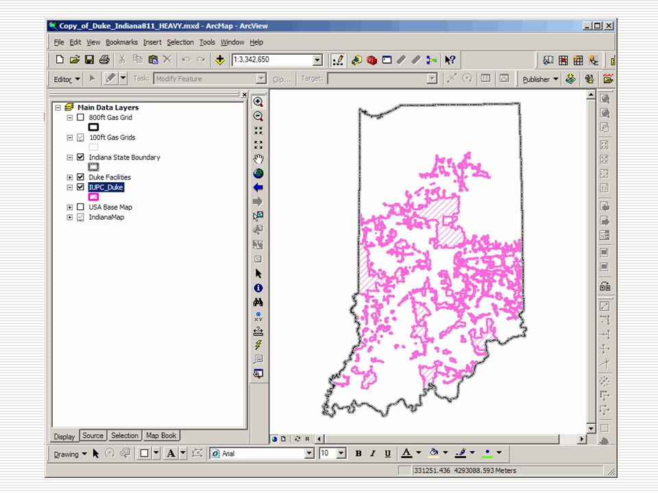
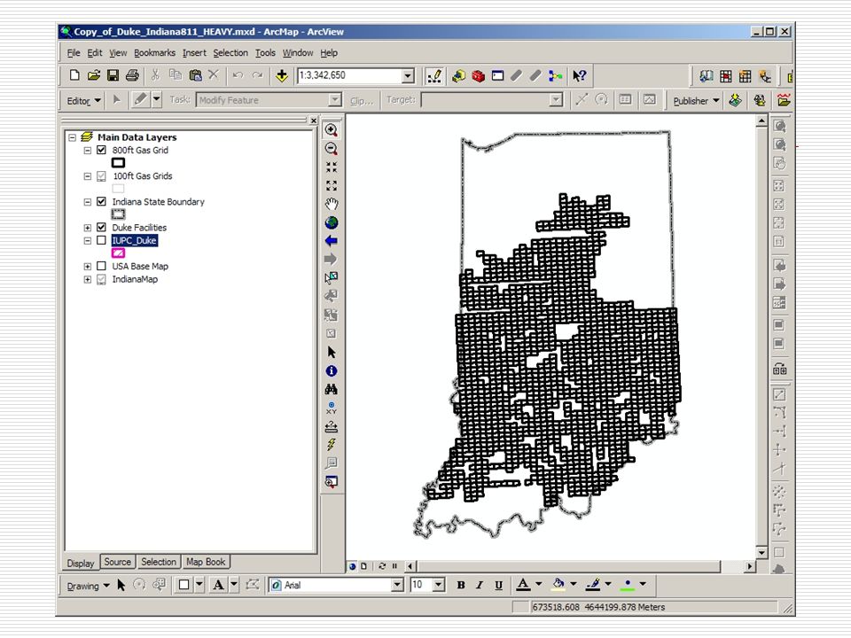
9
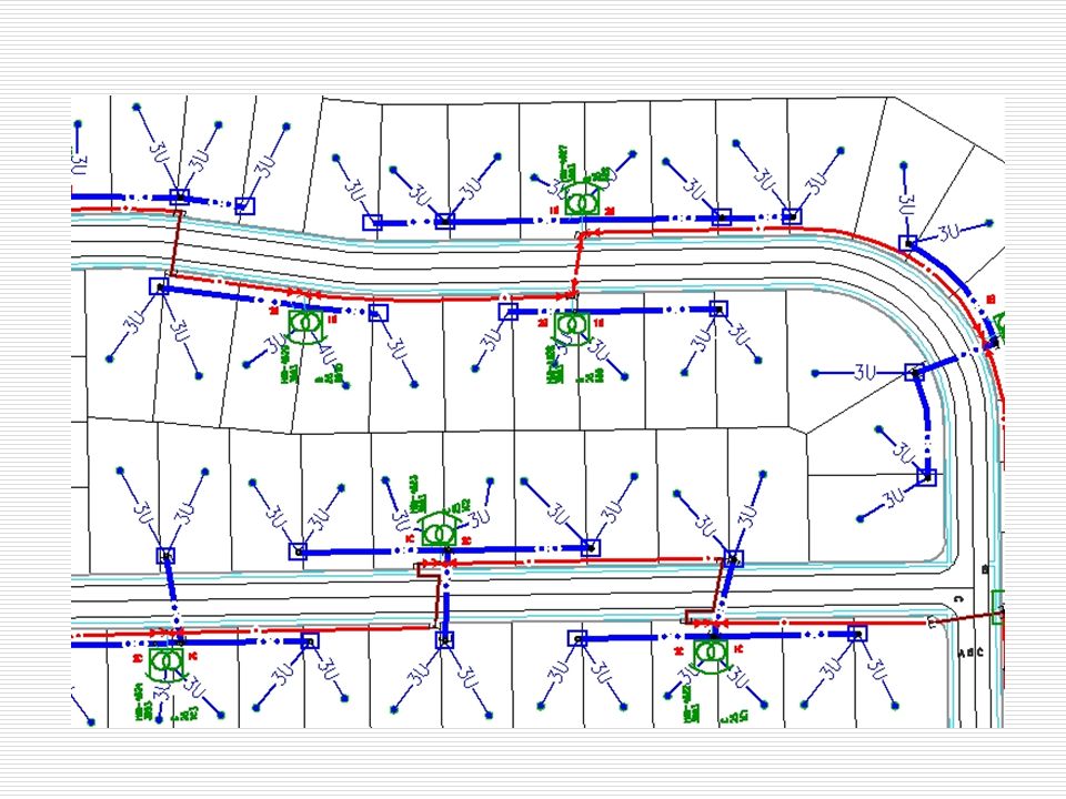
GIS Standard Map

10
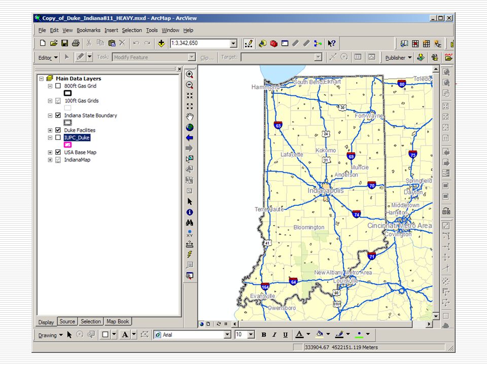
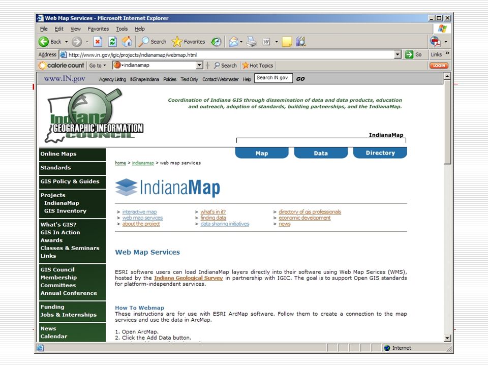
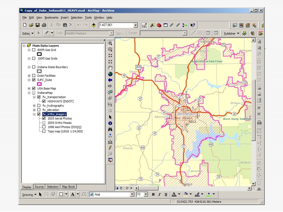
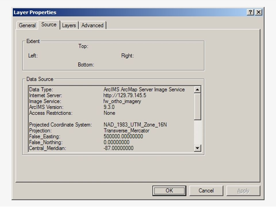
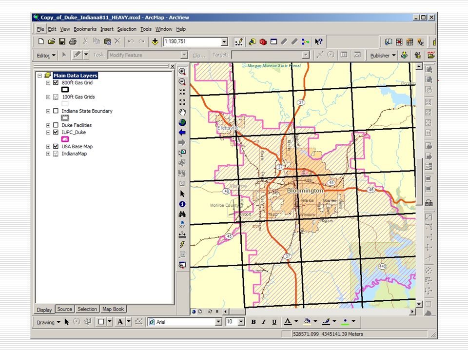
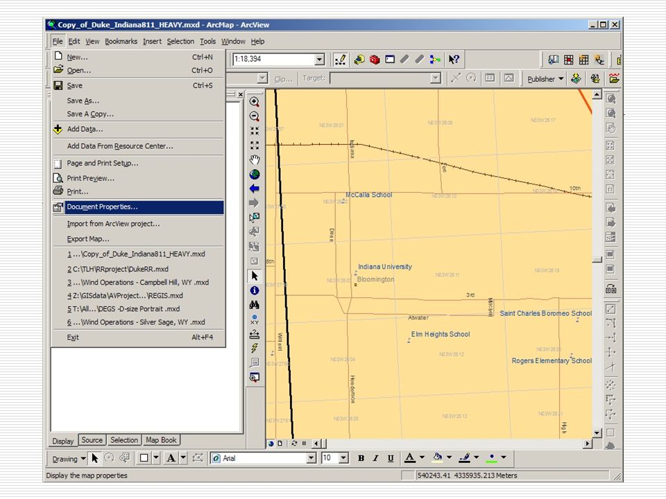
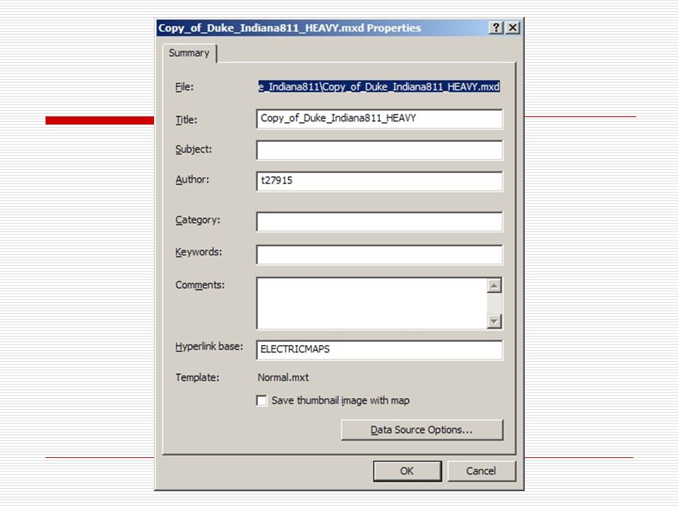
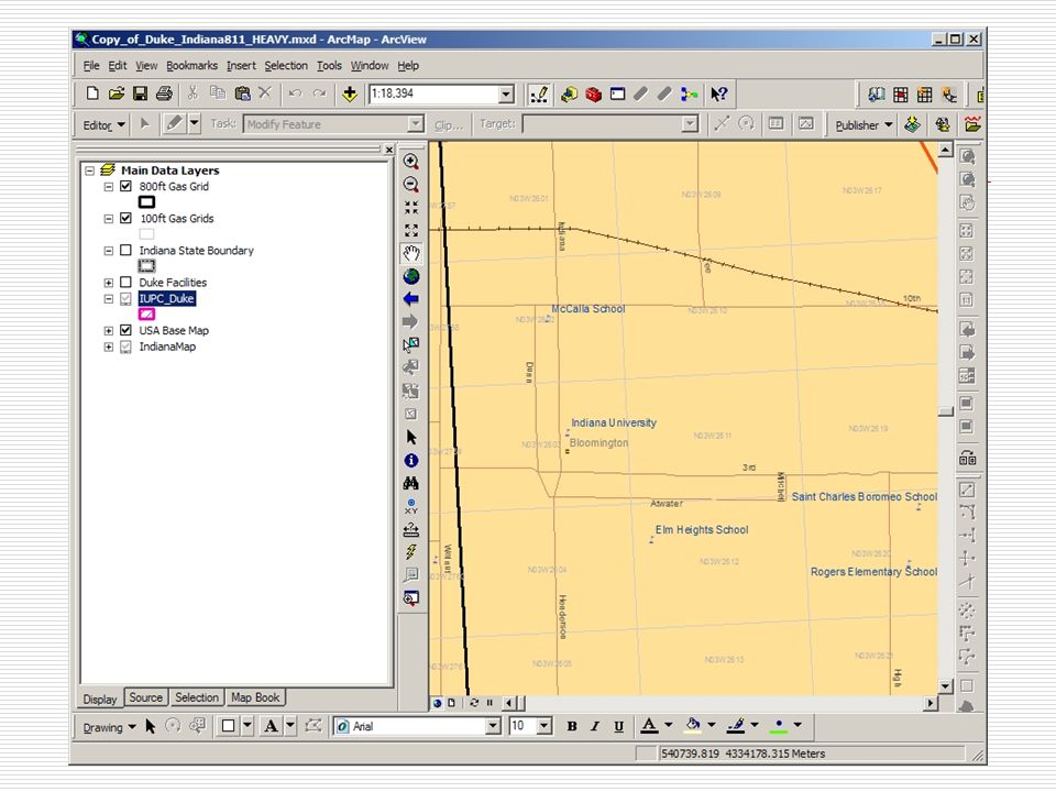
Demonstration

27
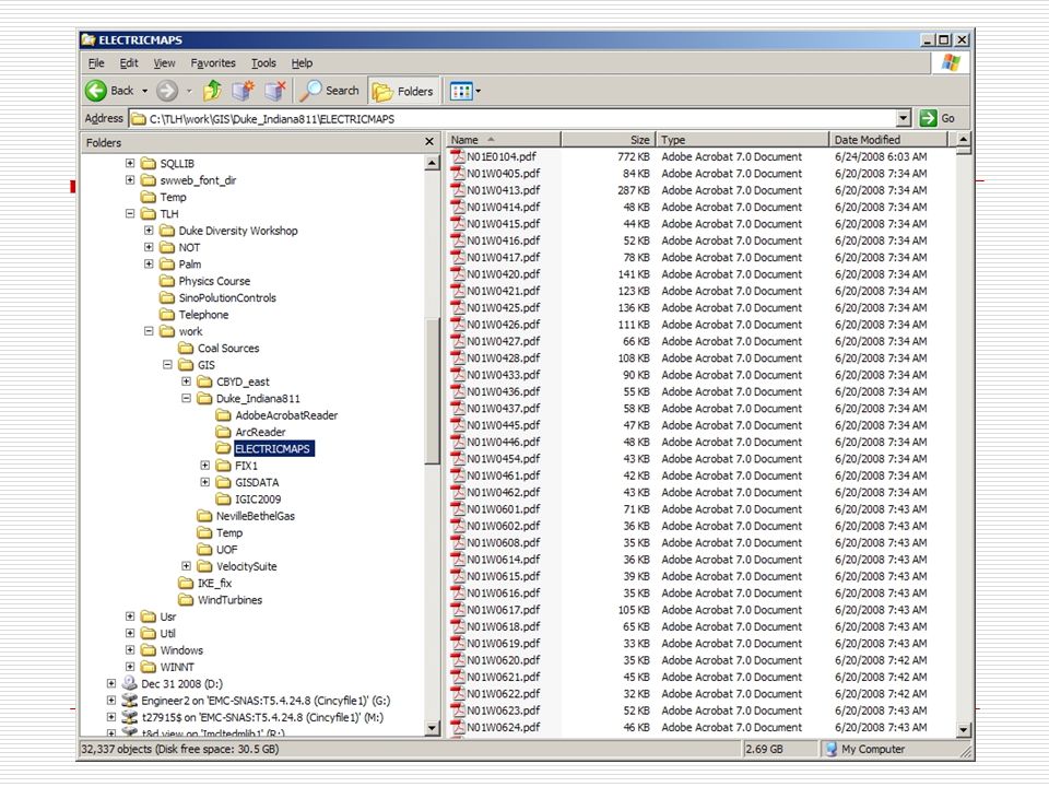
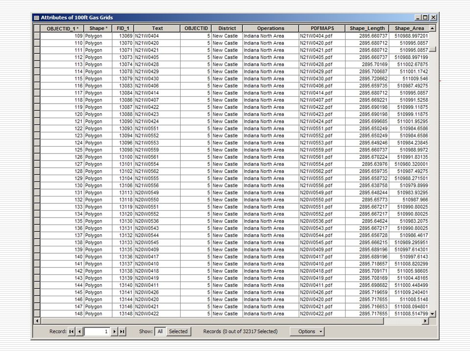
Distribution Methodology DVD including: ArcReader installation files Adobe Acrobat installation files 32,000+ PDF map files.pmf files Installation Instructions

28
Ongoing Maintenance Plan Quarterly updates of PDF files distributed via DVD

29
Future Enhancements Address lookup Reduced update cycle Web-based version

30
Questions

Similar presentations

 History of Electronic systems January 1, 2010.>")
 February 20, 2008.>")

. Agenda Purpose Target User Benefits System Requirement User Guide Introduction Navigation Add New SQL Add New Version.>")


- Interactive Electronic Technical Manual (IETM) Interface December 2008.>")


 157 miles (black) Wildlife Tracking - Wolves.>")


