Download presentation
Presentation is loading. Please wait.

1
ANNUAL RAINFALL DISTRIBUTION IN ECUADOR Workshop on the Regional Climate Prediction & Application Tropical Pacific Islands. Oklahoma University

2
INTRODUCTION Geographically, Ecuador is located in the equatorial line, in Sud America between Colombia and Peru. the climate is varied due to the relief and to the influence of the cold current of Humboldt in summer and to the warm current of El Nino in winter.

4
The Ecuador has 4 geographical zones: n The Coastal zone n The Sierra zone (Andes mountains) n The Amazonia n Galapagos Islands
 n The Amazonia n Galapagos Islands")
6
n The Coastal zone is hot and humid, with an annual mean temperature of 26 ºC. n The annual rainfall is between 200 mm and 3400 mm

11
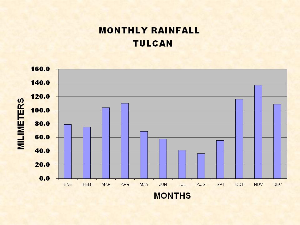
n In the Sierra the climate is temperate and its mean temperature varies between the 7 ºC and 21 ºC. n The city of Quito is the capital with an altitude of 2810 meters above msl. The annual temperature reaches an average of 12.8 ºC. n Annual rainfall is between 400 mm and 1400 mm.

16
n The Amazonia is more warm, humid and rainy during the whole year. n The annual rainfall oscillate between 2000 mm and 5000 mm.

18
n The Galapagos Islands has climate maritime. n The annual rainfall is 520 mm

Similar presentations


 Temperature Zone 4.Distribution of.>")


 Location refers to how far north or south a place is located from the Equator. In general, the farther.>")


 Small geographic area Can change rapidly.>")


