Download presentation
Presentation is loading. Please wait.

2
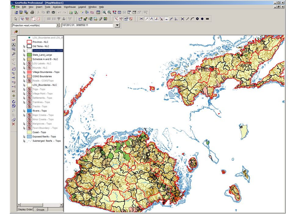
Integrated – Fiji Land Information Survey Plan Valuation Crown Lease Rental Cadastral Topo/ Aerial Imagery NLC/VKB Integrated Databases Titles Land Register Data Utilization by Stakeholder for Efficient use of Land Internal External Native Leases to State Fore- Shore Road Index Data Verification & Field Check State Land Register (State Land GIS) Geodetic CG/NG Register NLTB TCP & Other FLIC Members
 Geodetic CG/NG Register NLTB TCP & Other FLIC Members")
3
Land Information Databases – Plan Journal, Valuation, Lease Administration and Rental Topographical, Cadastral, NLC Spatial Digital Data Cartographically produced maps – 1:50,000, 1:250,000, Street Maps Surveys Plans Aerial Photographs Locality Diagrams Files… hardcopy information

4
Integration - Facing the Reality Documentation/Metadata Data Quality Software / Licenses Accessibility Human Resources/Training Budget priorities Isolated Projects Coordination and Communication Manual Policies and Procedures versus Digital Dreams IT Infrastructure

5
Major Challenges… DOS based databases – technical documentation unknown Databases duplicating information - isolated Index based Spatial Information Isolated Networks / Projects The Key ID – Parcel Identifier Data/Standard Mismatch

6
How….? FLIS Review IT Infrastructure Databases Re-development New Enterprise Software Licensing Spatial Data formatting / attributing– Seamless from indexes New Photography and Topographically Updates Making Information Available/Accessible Within Department for day to day decision making at everyone’s desktop Training Policy/Standard Reviews and Upgrades

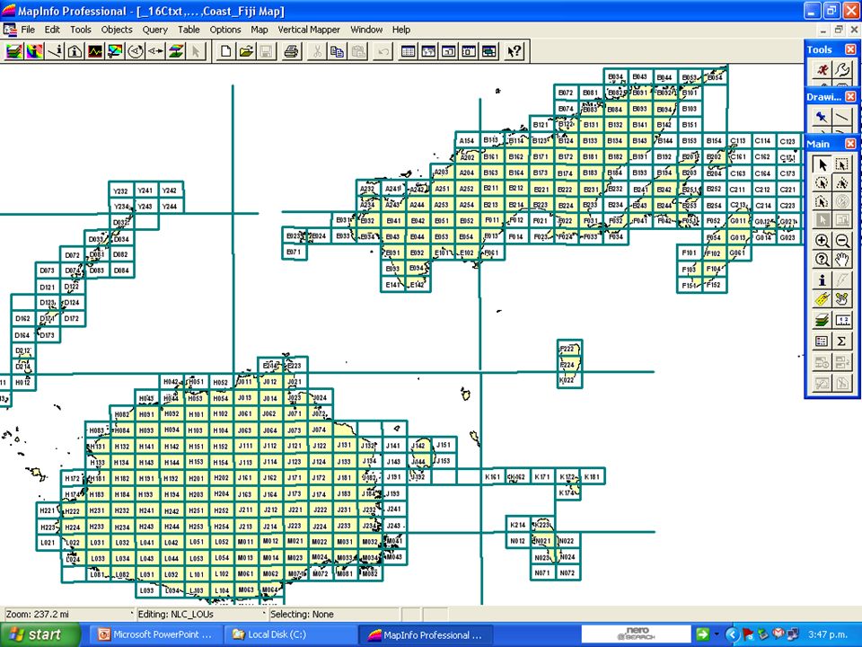
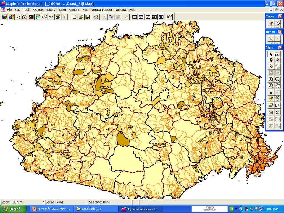
9
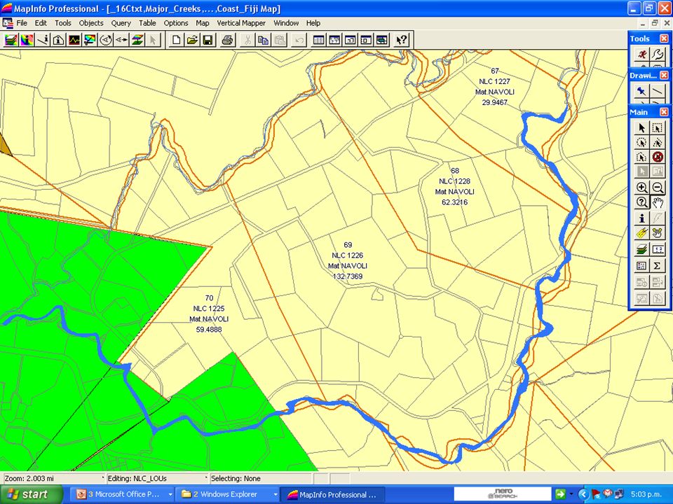
Native Land Commission (NLC) Map 9
 Map 9")
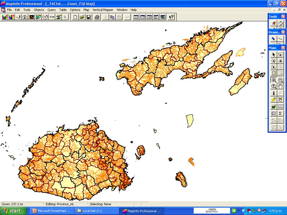
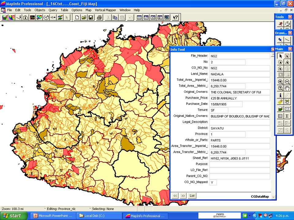
10
NLC Map 10

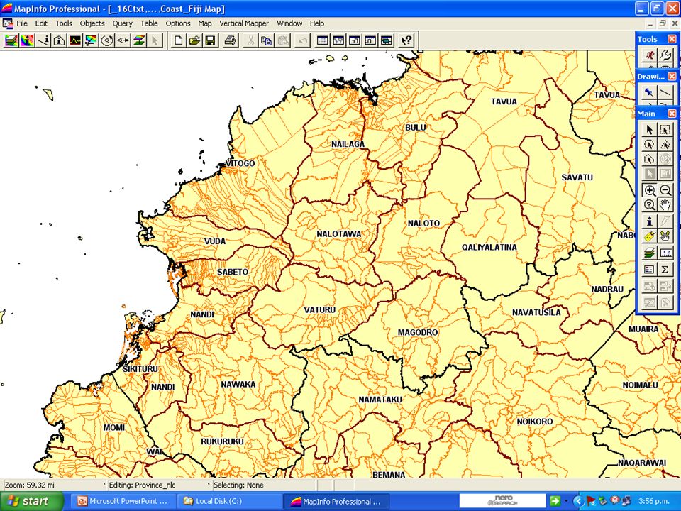
11
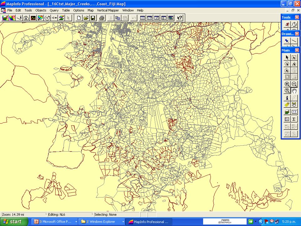
11

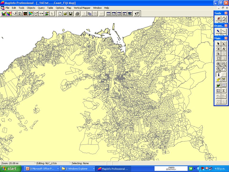
20
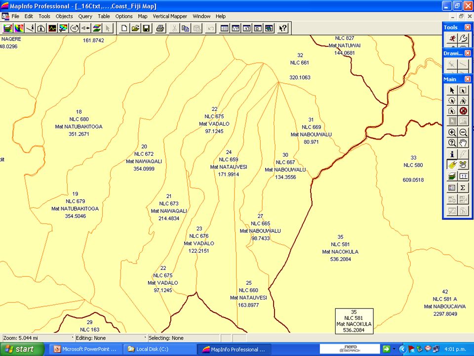
Survey Plans

28
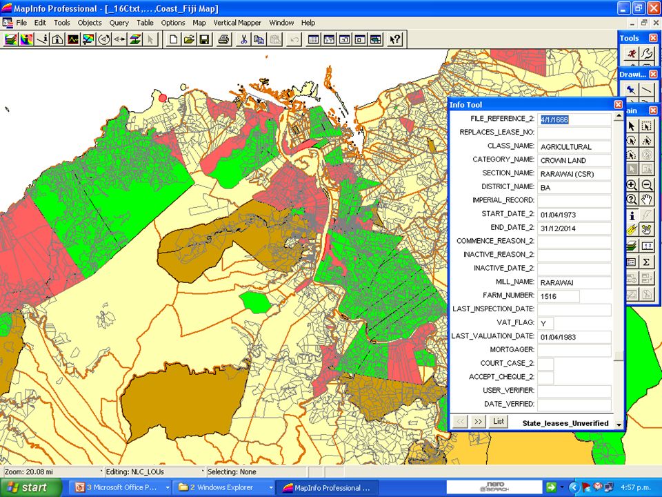
Land Tenure & Leases Map

30
Cadastral Verification Verify NLC Boundaries Map and link to Final Reports – (approx 13000) Integrate all Freehold to Database (Titles) – Get Access to Titles Data – (approx 65000) Integration with NLTB Leases (Approx 36000) Projects for Land Register
 Integrate all Freehold to Database (Titles) – Get Access to Titles Data – (approx 65000) Integration with NLTB Leases (Approx 36000) Projects for Land Register")
31
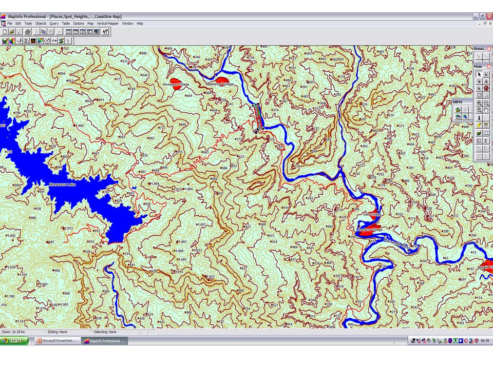
Topographical

34
Also through FLIC Support Role… Agriculture Soils Forest Functions Telecom Lines FEA Poles Schools Linked to Ministry of Education School Code Water Supply Areas and Pipes BOS 2007 Population Data & Map FSC Sector Boundaries and Information TCP Zones (old) Qoliqoli Boundaries and Databases MRD – Tenements, Boreholes, Geology….getting there
 Qoliqoli Boundaries and Databases MRD – Tenements, Boreholes, Geology….getting there")
42
What Next? More Focus on Training & Data Maintenance Desktop / Software distributed from CD? Published Outputs – Tiles, GeoPDF, Altas/Books Spatial Data Directory We now have some basic things sorted out, still long way to go, next : Another Review of Land Information Strategy New Fiji Geo-Spatial Strategy – towards SDI Activation of the Fiji Land Information Council Address the missing link - User Group to Council

43
The Support: Land Reform and Land Register Output Focus of Government The e-Gov Initiative Government Budget for Aerial Photography NZAID Grant

44
Thank you very much for all Your support too

Similar presentations


 is composed of twelve regions. Each regional planning council is a public organization.>")

