Download presentation
Presentation is loading. Please wait.

1
W A R R E N C O U N T Y G E O G R A P H I C I N F O R M A T I O N S Y S T E M GIS in Local Government: Warren County’s Experience GIS Day November 17, 2004

2
W A R R E N C O U N T Y G E O G R A P H I C I N F O R M A T I O N S Y S T E M Location: North Country, Lake George area Population: 63,303 Communities: 11 Towns, 1 Village, 1 City Major Industries: Tourism, Wood Products Commercial Center: Glens Falls/Queensbury System of Government: Town Supervisors as County Legislators COUNTY FACTS

3
W A R R E N C O U N T Y G E O G R A P H I C I N F O R M A T I O N S Y S T E M A ROCKY START Tax map conversion project started in 1987 under pressure from ORPS Problems with contractors, hardware, consultants, in-house project management Ten years and $2 Million dollars later, still not maintaining or using digital tax maps; limited GIS use

4
W A R R E N C O U N T Y G E O G R A P H I C I N F O R M A T I O N S Y S T E M GETTING BACK ON TRACK In 1997, County formulated a 3- Year GIS Plan and set aside $50,000 from its General Fund to establish a GIS Capital Fund Made decision to finish tax map conversion project using AutoCAD instead of GIS; hired a contractor Hired a full-time GIS Administrator in 1999 to manage conversion project and establish GIS. Located in the planning department.

5
W A R R E N C O U N T Y G E O G R A P H I C I N F O R M A T I O N S Y S T E M INITIAL STEPS Established QA/QC procedures for Tax Map conversion project Purchased Hardware and Software Joined state GIS clearinghouse and obtained relevant data available from state and local agencies Salvaged existing local data Started Making Maps!!!

6
W A R R E N C O U N T Y G E O G R A P H I C I N F O R M A T I O N S Y S T E M THE FIRST TWO YEARS Continued Tax Parcel Conversion project and began to maintain tax parcels digitally Convinced the Real Property department that GIS was not Evil. Made a bulk purchase of ArcView for all the towns. Created a custom ArcView project for use by the towns and RP, with parcels, DOQQs, wetlands, APA land use, etc. Provided training to town assessors and zoning administrators Filled map requests for county departments, towns, the general public

7
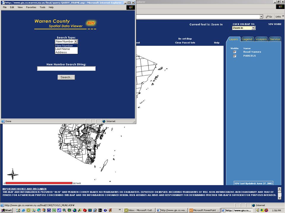
W A R R E N C O U N T Y G E O G R A P H I C I N F O R M A T I O N S Y S T E M THE NEXT TWO YEARS Conducted Needs Assessment of County Departments Applied for and received $73,000 from New York State Archives Developed custom ArcGIS application for DPW Created website Developed online GIS: Spatial Data Viewer Began developing and collecting local data: zoning, trails, infrastructure

8
W A R R E N C O U N T Y G E O G R A P H I C I N F O R M A T I O N S Y S T E M CURRENT PROJECTS Transitioning tax map maintenance from AutoCAD to ArcGIS GPSing snowmobile trails Creating road centerlines with address ranges Transitioning towns from ArcView to ArcGIS Developing a custom ArcGIS application for Zoning Administrators Providing online access to assessment information via Imagemate Online Developing town atlas series in ArcGIS using Map Book extension

9
W A R R E N C O U N T Y G E O G R A P H I C I N F O R M A T I O N S Y S T E M ONGOING ACTIVITIES: Maintaining Enthusiasm for GIS We have a GIS Map of the Week

10
W A R R E N C O U N T Y G E O G R A P H I C I N F O R M A T I O N S Y S T E M ONGOING ACTIVITIES: Maintaining Enthusiasm for GIS We have a GIS Map of the Week We have activities for GIS Day every year

11
W A R R E N C O U N T Y G E O G R A P H I C I N F O R M A T I O N S Y S T E M ONGOING ACTIVITIES: Maintaining Enthusiasm for GIS We have a GIS Map of the Week We have activities for GIS Day every year, for both kids and County employees We provide continual training for town and county employees

12
W A R R E N C O U N T Y G E O G R A P H I C I N F O R M A T I O N S Y S T E M ONGOING ACTIVITIES: Maintaining Enthusiasm for GIS We have a GIS Map of the Week We have activities for GIS Day every year, for both kids and County employees We provide continual training for town and county employees We have a GIS Users Group that meets regularly

13
W A R R E N C O U N T Y G E O G R A P H I C I N F O R M A T I O N S Y S T E M FINAL WORDS OF WISDOM Hire a dedicated GIS person. Establish a dedicated GIS budget. Get the decision makers engaged from the beginning Make maps! Don’t wait until the data is “perfect” to start using it Let other people use the data as soon as possible Customize the software to get people using it with as little training as possible. Provide training that is customized and relevant to the tasks of the users Have some fun

14
W A R R E N C O U N T Y G E O G R A P H I C I N F O R M A T I O N S Y S T E M

Similar presentations


 and Susan Schreibman (Rutland RPC) on.>")


