Download presentation
Presentation is loading. Please wait.

1
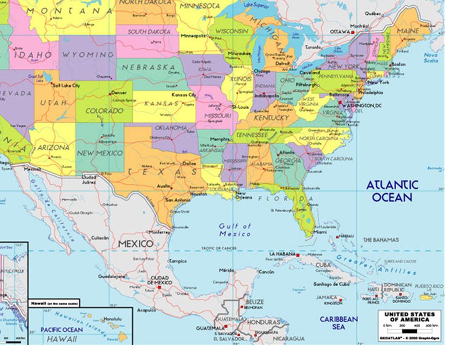
7-2 October 2015-6 Warm-up On your map of the south: 1)label the states 2)Label state capitals
label the states 2)Label state capitals")
3
NEXT Section 1 Landforms and Resources The United States and Canada have vast lands and abundant resources. These two countries share many of the same landforms.

4
Landscape Influenced Development Anglo America U.S., Canada: former British Colonies most people speak English Strong economic and political ties with one another Landforms and Resources NEXT Continued... Vast Lands Canada 2 nd largest country in the world by area; U.S. 3rd Together they cover one eighth of the earth’s land surface

5
NEXT Abundant Resources Landmass and natural resources attract immigrants to both countries U.S. and Canada have developed into global economic powers continued Landscape Influenced Development

6
Many and Varied Landforms Major Landforms all major landforms are found in U.S. and Canada The two countries share mountain chains and interior plains NEXT Continued...

7
Many and Varied Landforms NEXT Continued... The Eastern Lowlands Atlantic Coastal Plain extends from Delaware down to Florida Gulf Coastal Plain goes from Florida along Gulf of Mexico, to Texas Piedmont—low plateau between coastal Plains Appalachian Highlands

8
NEXT The Appalachian Highlands Appalachian Mountains run 1,600 miles from Newfoundland to _Alabama -include Green and Catskill mountains in the north -Blue Ridge and Great Smoky mountains in the south More than 400 million years old Erosion has created gentle slopes, peaks from 1,200–2,400 feet The Appalachian Trail is a scenic hiking path along the chain continued Many and Varied Landforms Continued...

9
NEXT The Interior Lowlands Glacier _leveled the land, left fertile soil Interior Plains extend from Appalachian to Missouri River Great Plains extend from Missouri River to Rocky Mountains Canadian Shield vast, flat area around Hudson Bay continued Many and Varied Landforms Continued...

10
NEXT The Western Mountains, Plateaus, and Basins Rocky Mountains run 3,000 miles from Alaska to New Mexico Relatively young: 80 million years old Less erosion means rugged, 12,000-foot, snow-covered peaks Continental Divide—the line of highest points along the Rockies -separates rivers that flow Eastward from those that flow Westward continued Many and Varied Landforms Continued...

11
The Western Mountains, Plateaus, and Basins Other Pacific mountain ranges: Sierra Nevada, Cascade Continent’s highest peak: Mt. McKinely in Alaska Major Earthquake activity in Pacific ranges Between ranges and Rockies: cliffs, canyons, basins (low desert) 1 NEXT continued Many and Varied Landforms
 1 NEXT continued Many and Varied Landforms.")
12
1 NEXT continued Many and Varied Landforms The Islands Canada’s large, northern islands: Ellesmere, Victoria, Baffin U.S.: Aleutians (Alaska), Hawiian (politically, not geographically)
, Hawiian (politically, not geographically)")
13
Resources Shape Ways of Life Oceans and Waterways U.S. and Canada are bounded by: -Atlantic, - Pacific, - Arctic oceans -Gulf of Mexico NEXT Continued...

14
Resources Shape Ways of Life Oceans and Waterways Countries have many large, inland rivers and lakes that provide: -Transportation, hydroelectric power, irrigation, fresh water, fisheries NEXT Continued...

15
NEXT Oceans and Waterways Great Lakes: Huron, Ontario, Michigan, Erie, and Superior Mississippi –Missouri -Ohio river system: continent’s longest, busiest Mackenzie River: longest in Canada, crosses Northwest Territories continued Resources Shape Ways of Life Continued...

16
NEXT Land and Forests Fertile soil helps make North America world’s leading food exporter Large forests yield Lumber and other products Minerals and Fossil Fuels Mineral quantity and variety make rapid industrialization possible Canadian Shield: iron ore, nickel, copper, gold, uranium Appalachians, Great Plains: coal Gulf of Mexico: oil, natural gas U.S.: biggest energy consumer; gets most of Canada’s energy exports continued Resources Shape Ways of Life

Similar presentations


>")


