Download presentation
Presentation is loading. Please wait.

1
Year 7 Revision May 2015

2
MAPSKILLS

3
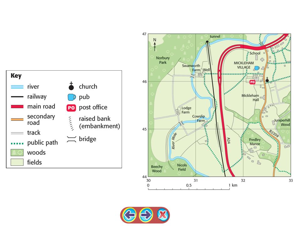
2.8 Ordnance Survey maps

5
MAKING CONNECTIONS

6
28 Members of the EU With their capital cities

7
What is the EU? This is the EU flag

8
1. The European Union is a group of countries whose governments work together. 2. It's a bit like a club. To join you have to agree to follow the rules and in return you get certain benefits. 3. Each country has to pay money to be a member. They mostly do this through taxes. 4. Countries join because they think that they will benefit from the changes the EU makes. Also 5. The EU uses the money to change the way people live and do business in Europe... What is the European Union?

9
RIVERS AND FLOODS

10
Catchment (the area from which water drains into a particular drainage basin) Tributary (a river which joins a larger river) Confluence (the point at which two rivers join) Watershed (the boundary dividing one drainage basin from another)
 Tributary (a river which joins a larger river) Confluence (the point at which two rivers join) Watershed (the boundary dividing one drainage basin from another)")
11
A flood happens when a river overflows its banks However, a flood becomes a problem when the water threatens property and/or life. bankfull discharge Meander cross section What is a flood?

12
Why do rivers flood? Physical FactorsHuman Factors Clay soil

13
‘Solutions’ to flooding Plant trees (increase evapotranspiration - this reduces the amount of water that reaches the river) reduces the likelihood of future flooding reduces the impact of future floods Concrete beds and banks (increase the velocity of the river) Widen and deepen channel (to increase the capacity of the river) Floodplain Zoning Flood relief channels (these increase the capacity of the river by creating more channels) Dams (these control the flow of the water in the upper course and thus reduce flooding. e.g. Donzere on the Rhone) Flood warning systems
 Flood warning systems.")
14
National Parks There are 13 National Parks in England and Wales. The Norfolk Broads, The New Forest South Downs? The New Forest

15
Why do people visit the Lake District?

16
Who uses the National Parks? Use the pictures to help you name the different groups. Tourists Farmers Local Residents Ministry of Defence Industry Water Companies

17
Conflict

Similar presentations


 Explain how each method works … 2) give good points & bad points of each strategy 3) Give viewpoints of different groups of people 4) Consider whether.>")


