Download presentation
Presentation is loading. Please wait.

1
The Territorial Period 1803-1836 The AMERICAN EXPLORATIONS

2
LOUISIANA PURCHASE EXPLORERS Meriwether Lewis and William Clark, went to the sources of the Missouri River and beyond from 1803-1806. William Dunbar and George Hunter, explored the Ouachita River in Louisiana and Arkansas in 1804 and 1805 as far up as the hot springs. Zebulon Pike lead another expedition from St. Louis to the mountain named Pike’s Peak, then through the Spanish southwest.

3
Arkansas also attracted the attention of two private explorers, Thomas Nuttall and Henry Schoolcraft. Henry Schoolcraft entered Arkansas in 1818 at the Mammoth Springs and traveled through the valleys of the Spring, Black and White rivers. He went as far as the settlements at Calico Rock and Poke Bayou (Batesville).
..")
4
Thomas Nuttall started at Arkansas Post in 1819 and went up the Arkansas River to Fort Smith. Each man published a book about his trip that publicized Arkansas to the rest of the United States, as being scenic land, rich in animal and plant life and natural resources, but thinly populated.

5
In the first years of the nineteenth century ( the 1800’s) Arkansas was hard to get too and not on any of the major paths for the expansion to the far West. Beyond Arkansas was Texas, still a Spanish possession, and Oklahoma was already reserved as Indian Land by the national government.

6
Traveling by land in wagons was very difficult. On land, people either walked or rode horseback. The Southwest Trail, an old Indian path that ran from Southeast Missouri through central Arkansas. The Arkansas River was the major avenue into Arkansas.

7
River Travel Canoe Flatboat- a crude raft useful only for going downstream at the rate of the current. Keelboat- a rounded bottom and a keel to help it keep going straight, could move upstream, but was a slow process. Pushed by poles or pulled by horses or men walking on the bank. Ten miles a day was a good speed for a keelboat.

10
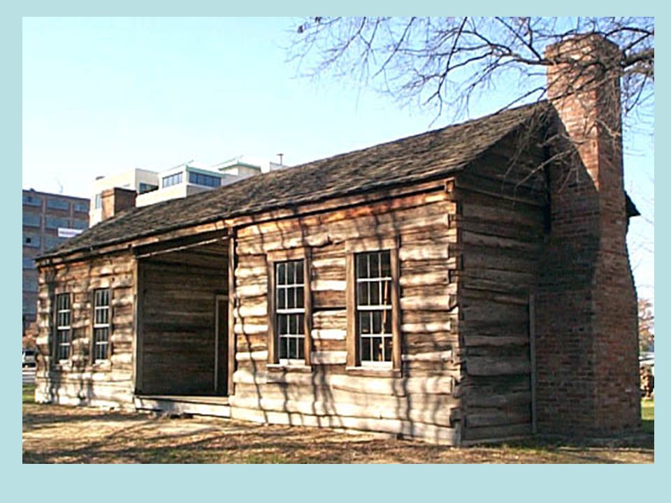
EARLY SETTLEMENTS Census of 1810 showed little more than a 1000 people were living in Arkansas, not counting the Indians. About three fourths of the people lived in villages at Arkansas Post, Pine Bluff, Little Rock, Crystal Hill and Cadron.

12
EARLY AGRICULTURE Most parts of Arkansas had soil and climate that were suitable for growing cotton, corn or wheat. Corn provided food for the farm family and its horses, cows, and pigs. Many small farms grew vegetables and fruit trees for their use.

13
Early Arkansans also planted rice, tobacco, indigo (for blue dye), hemp (for rope) and grapes (for wine). Farmers also faced harsh winters, flooded rivers in winter and spring and drought in the summer months.

14
New Madrid Earthquake The most severe and long lasting earthquake ever to take place in the United States. The shocks began in Dec of 1811 and continued for almost four months until March of 1812.

15
The First Governments When the Louisiana Purchase became part of the United States, the national government divided it into two big sections. In the north was the Territory of Louisiana, which included present day Arkansas. In the south was the Territory of Orleans.

16
When the Territory of Orleans became a state in 1812, it took the name Louisiana The Northern Territories name was changed to Missouri. In 1814, the lands of Arkansas became a county of the Territory of Missouri.

17
In 1815 the Missouri legislature divided it into two more counties, Arkansas County in the south and Lawrence County in the north. In 1818 Arkansas County: Clark, Hempstead, and Pulaski.

19
War of 1812 United States again fought Great Brittan. At the Battle of New Orleans, General Andrew Jackson defeated the British and became a national hero. Veterans of the War of 1812 were given a bonus in the form of free land in the West.

20
People who lost land in the New Madrid Earthquake were also given replacement land in Arkansas In 1820 the U.S. census showed 14,273 white and black persons. Missouri applied to Congress for statehood. And asked the “boot heel” area be included, but did not include the five counties of Arkansas.

21
Slavery In 1776 slavery existed in all parts of the United States. By 1800 all the northern states had abolished slavery. In 1787, Congress passed the North-west Ordinance, which outlawed slavery in the land north and west of the Ohio River. The invention of the cotton gin made growing cotton extremely lucrative and recommitted the south to growing cotton.

22
Slavery and The Missouri Compromise Missouri would become a slave state. At the same time, Maine, which had been part of Massachusetts, would come into the Union as a free state. Except in Missouri itself, slavery would not be allowed in any territories or states created out of the rest of the Louisiana Purchase north of the 36* 30 ` line of latitude.

Similar presentations