Download presentation
Presentation is loading. Please wait.

1
Geography of UK Vojtěch Pospíšil 4A

2
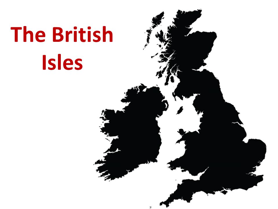
The British Isles

4
General information Name:United Kingdom of Great Britain and Northern Ireland Area:94,060 sq mi = 243 610 km² Population:64 100 000 people Languages:English, Cornish, Irish, Scotch, Scottish Gaelic, Ulster-Irish, Welsh Currency:Pound sterling (GBP) Time zone:GMT (Greenwich Mean Time) Government: Unitary Parliamentary constitutional monarchy
 Time zone:GMT (Greenwich Mean Time) Government: Unitary Parliamentary constitutional monarchy")
5
Symbols of the UK

6
Symbolic animals

7
Coat of arms God and my rightShamed be he who thinks ill of it.

8
Britania Union Jack http://www.youtube.com/watch?v=j7ujvOWWfpY Anthem: God Save the Queen

9
Countries of the UK England:London Scotland:Edinburgh Wales:Cardiff Northern Ireland:Belfast

10
Parts of the UK

11
Important and capital cities

12
Comparing with the size of the Czech Republic

13
Rivers in the UK

14
Lakes in the UK Lough Neagh (Ireland):381,74 km 2 Lower Lough Erne (Ir.):105,08 km 2 Loch Lomond:71,12 km 2 Loch Ness:56,64 km 2 Upper Lough Erne (Ir.):42,99 km 2
:381,74 km 2 Lower Lough Erne (Ir.):105,08 km 2 Loch Lomond:71,12 km 2 Loch Ness:56,64 km 2 Upper Lough Erne (Ir.):42,99 km 2")
15
Loch Ness Loch Lomond

16
Highlands in the UK Grampian Mountains (Ben Nevis 1343m) North West Highlands Cambrian Mountains Southern Uplands
 North West Highlands Cambrian Mountains Southern Uplands")
17
Ben Nevis Cambrian mountains

18
Other islands in the UK Isle of Man Arran Western Isles Shetland Islands Orkney Islands

19
Western isles Isle of Man

20
Cities in the UK

21
London (8.308 mil)
")
22
Edinburgh (495 360)
")
23
Cardiff (324 800)
")
24
Belfast (310 000)
")
25
Birmingham (1.074 mil)
")
26
Manchester (502 900)
")
27
Liverpool (444 500)
")
28
Thank you for your attention!

Similar presentations


 There are four countries.>")


