Download presentation
Presentation is loading. Please wait.

1
Ken Driese Dept. of Botany

2
1. How could you assess the effect of drought on plant biomass in California? 2. How could you map sage grouse habitat in Wyoming? 3. How could you measure ground deformation in Yellowstone that might signal an eruption of the feared supervolcano? 4. How might you assess whether a remotely sensed map is accurate? 5. How might you find your own private hot spring deep in the wilderness? Your group must speculate about how to accomplish one of the following using remote sensing! You must use only your brains! You cannot use the internet or other resources.

3
Electromagnetic radiation Emphasis on satellite remote sensing Emphasis on land management applications – particularly vegetation mapping and monitoring Introduction to specialized types of remote sensing Hands-on skills: image processing and analysis

4
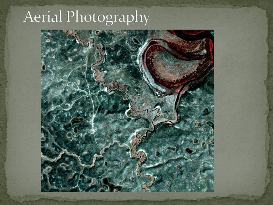
Aerial Photography Film, Digital, Aerial, Orbiting Multispectral Imaging Hyperspectral Imaging Active Remote Sensing Thermal Imaging

5
Terrestrial Marine Atmospheric Planetary Astronomy

6
Historical context is important for understanding what we do now

7
The Electromagnetic Spectrum

10
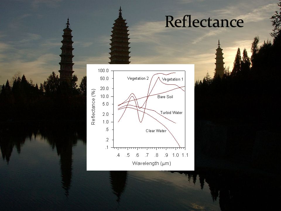
Satellite data are numbers that represent the strength of reflected light hitting the sensor, just like your digital camera Satellite “pictures” are made from these data

12
What so satellites measure? What is satellite resolution? How do orbital characteristics affect data collection? How do satellites gather data?

13
Landsat Hyperion Ikonos/Quickbird AVHRR MODIS IRS SPOT etc. From www.nasa.gov

14
Grand Prismatic Pool, Yellowstone Google Earth Aerial Photograph

16
Atmospheric Corrections

18
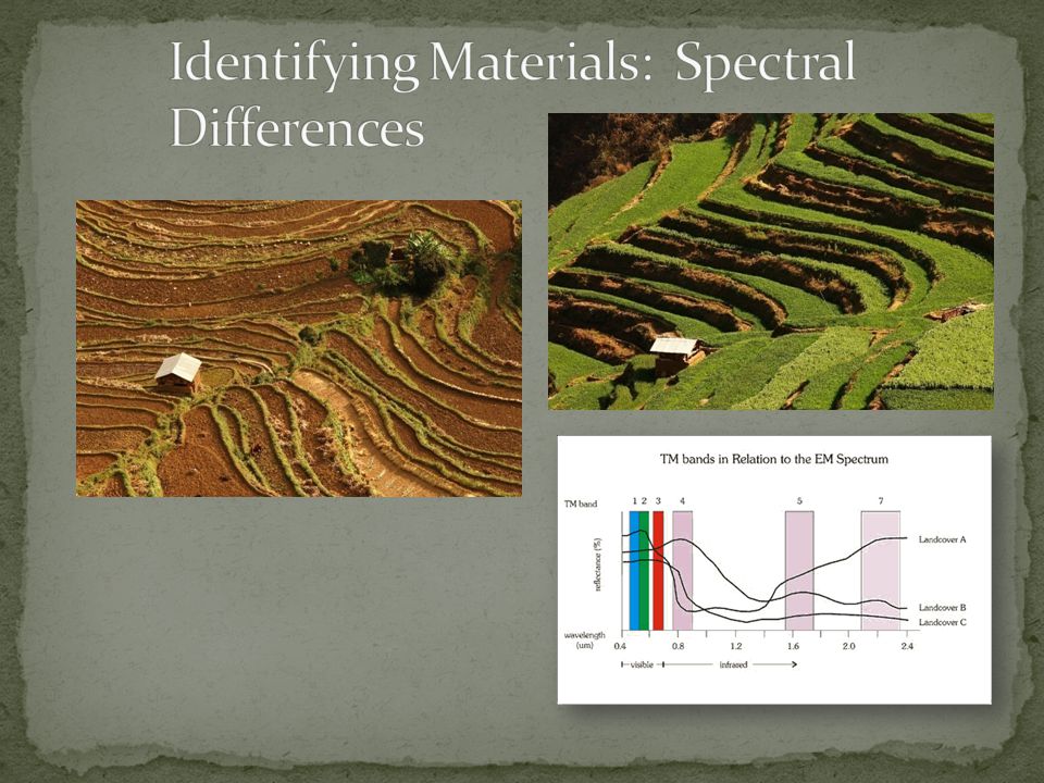
What do these images show you?

20
What does MMU mean? What is “land cover”?

21
Corn User’s Accuracy = 25/32

22
Also see THIS SITETHIS SITE

24
Hyperspectral Imaging – “hyper” amounts of spectral data

25
Death Valley thermal image with north to right

Similar presentations