Download presentation
Presentation is loading. Please wait.

1
Himalaya Geography With help from NEH Institute 2011 Lewis and van der Kuijp

2
THE HIMALAYAS

3
TIBETAN PLATEAU

4
Geology The Himalayas were thrust up when India collided with Asia 50 million years ago

5
Mountains CONTINUE TO RISE UPWARD at the rate of 1 CM /YEAR HOME TO ALL 14 OF THE EARTH’S PEAKS >8,000 METERS

6
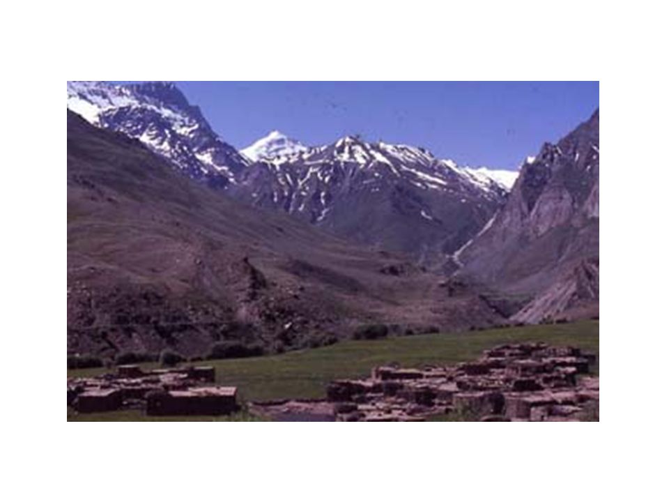
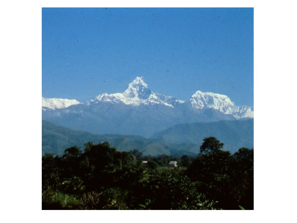
The Great Himalayan Range in Central Nepal “Himalaya” = “Abode of Snow”

7
Look again: Himalayas as Barrier between India and China

8
Geological-Geographical Regions in Cross Section Peaks to Gangetic Plain: 100-120 miles Tibetan Plateau

9
HIMALAYAN CLIMATES Wide variety of climates, diversity in agriculture & plant life across land Himalayan biomes: alpine, temperate, subtropical, and tropical. East to west: precipitation differs astronomically. Eastern Himalayan regions (Bhutan, Tibet, Eastern India) receive the 2 nd most rainfall annually in the world.
 receive the 2 nd most rainfall annually in the world..")
10
ALPINE ZONE Home to yaks, wild goats, wolves, and snow leopards. Sheep, often accompanied by nomadic highland natives. Graze in the sub-alpine region. ABOVE: SNOW LEOPARD LEFT: TIBETAN YAK

11
TEMPERATE ZONE Temperate zone is home to a wider variety of life, both flora & fauna. Forests of pine, oak, poplar, walnut, larch. (Most areas inaccessible to logging operations) Domesticated animals: yak-cow crossbreeds thrive, with goats, sheep
 Domesticated animals: yak-cow crossbreeds thrive, with goats, sheep.")
12
TEMPERATE ZONE Eastern Himalayan temperate zone is home to many species of rare mammals: red pandas, takins, musk deer. Reside in largely uninhabited dense forests RIGHT: RED PANDA LEFT: TAKIN

13
TROPICAL & SUBTROPICAL ZONE Former home of tigers, leopards, rhinoceroses, and deer: these species now restricted largely to sanctuaries in India & Nepal Himalayan foothills, one of the most densely populated areas in India. Due mainly to the exceptionally fertile land.

14
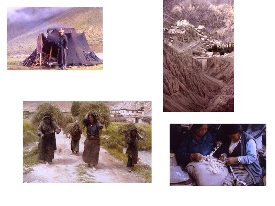
HUMAN ADAPTATION TO REGION Farming of crops suited for climate zone (buckwheat and barley for alpine zones; rice and corn for lower zones) Domesticated animals according to altitude tolerance (yaks in highest settlements; yak-cow cross-breads in temperate; water buffalo/cows in tropical zones Human preference for: fertile soils; watersheds for irrigation; trade routes
 Domesticated animals according to altitude tolerance (yaks in highest settlements; yak-cow cross-breads in temperate; water buffalo/cows in tropical zones Human preference for: fertile soils; watersheds for irrigation; trade routes")
15
Fauna

16
LEGEND OF THE YETI Tales of the ‘MEH-TEH’, (“Man-bear”) exist among various Himalayan peoples Despite several expeditions and decades of searching, no scientifically-reliable evidence of this creature has been produced Hoaxes frequent Scene from TinTin in Tibet
 exist among various Himalayan peoples Despite several expeditions and decades of searching, no scientifically-reliable evidence of this creature has been produced Hoaxes frequent Scene from TinTin in Tibet")
19
Hindu-Buddhist Survival

20
Indic Culture Migrates North

21
Later, Tibetanization transforms mid-hills with Tibeto-Burman speaking migrants and who practice Buddhism

22
Six Ethnographic Regions in the Himalayas

23
Over the last 3000 years, Indian peoples migrated to the north, first to places that would support: Intensive rice cultivation Cow pastoralism Establishment of caste society and brahman priests Plains Highlands

29
Kathmandu Valley

31
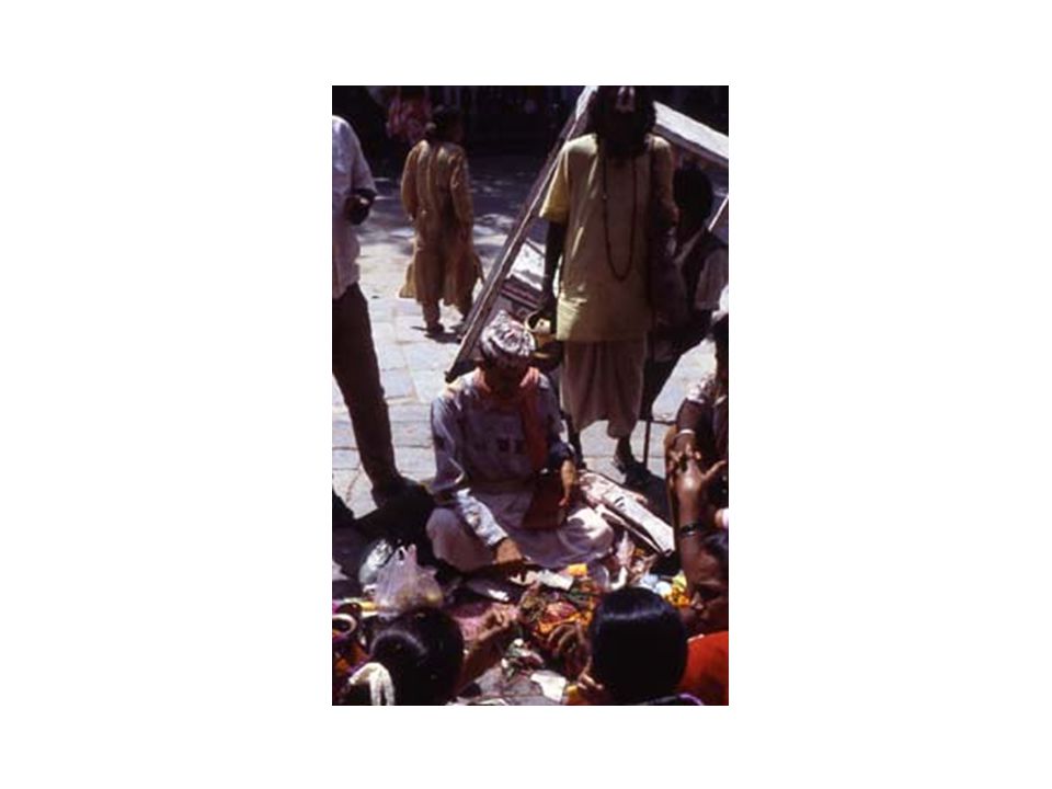
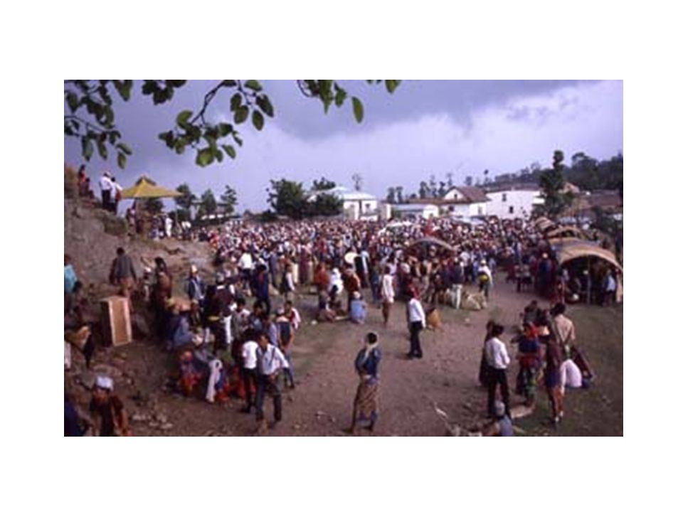
Trade and Religious Pilgrimages link these regions

32
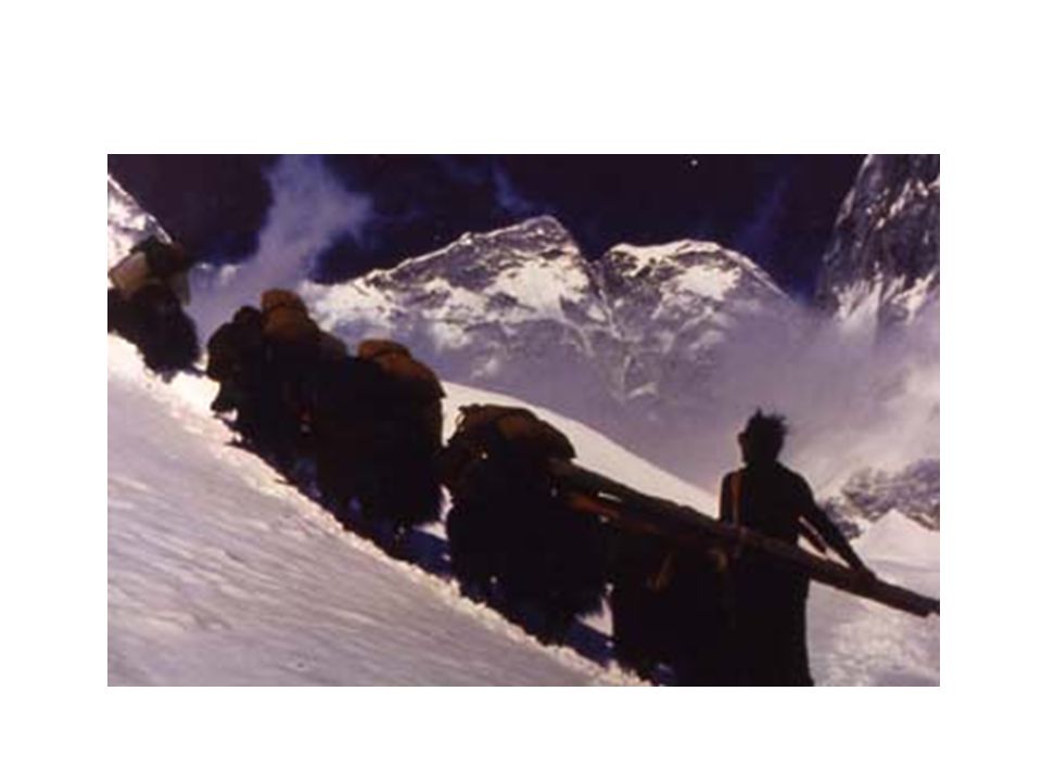
Trade and the “Friction of Distance”

36
Summary Frontier Periphery Indo-Tibetan/Sino Interactions...Micro climate/cultural features Cultural Oases [preserving archaic cultural elements, sometimes innovating on them...] Rare and Intermittent incursions/influences by outsiders but transformative adding to the rich historical dialectic
![Summary Frontier Periphery Indo-Tibetan/Sino Interactions...Micro climate/cultural features Cultural Oases [preserving archaic cultural elements, sometimes innovating on them...] Rare and Intermittent incursions/influences by outsiders but transformative adding to the rich historical dialectic](http://images.slideplayer.com/15/4687517/slides/slide_36.jpg "Summary Frontier Periphery Indo-Tibetan/Sino Interactions...Micro climate/cultural features Cultural Oases [preserving archaic cultural elements, sometimes innovating on them...] Rare and Intermittent incursions/influences by outsiders but transformative adding to the rich historical dialectic")
Similar presentations