Download presentation
Presentation is loading. Please wait.

1
Paleolimnology as a Tool for Interpreting Ecosystem Changes within Freshwater Lakes
Heather Burgess1, Andrea Lini1, Milt Ostrofsky2, Suzanne Levine3, Neil Kamman4 1 Department of Geology, University of Vermont 2 Allegheny College, Biology Department 3 Rubenstein School of Environment and Natural Resources, University of Vermont 4 Vermont Department of Environmental Conservation, Water Quality Division

2
Objectives To determine pre-settlement trophic conditions in Lake Champlain To document changes in trophic state and algal assemblages since European settlement To relate these changes to anthropogenic disturbances within the watershed

3
Significance of Study To better understand:
Baseline trophic state of Lake Champlain Anthropogenic impacts on lake ecology Provide information for restoration and management

4
Why are Lake Sediments Important?
Preserve information about lake history, specifically: Land-use changes in watershed Ecological changes in lake and watershed ORGANIC MATTER

5
Proxies Organic Carbon Total Nitrogen C/N Stable Carbon Isotopes
Paleopigments P, Si, metals Diatom Assemblages

6
Total Organic Carbon (%C)
Total Organic Carbon (TOC) Proxy for organic matter Primary productivity Dilution Preservation (%)
 Proxy for organic matter. Primary productivity. Dilution. Preservation. (%)")
7
C/N Ratio Indicative of organic matter source C/N algae <10
C/N terrestrial >20

8
Stable Isotopes Are naturally occurring Do not radioactively decay
Reported using the ‘ notation’ ‰ = [(R sample/R standard) -1] x 1000 where ‘R’ is the ratio of heavy to light isotopes (e.g. 13C/12C) Less of the heavier isotopes More of the heavier isotopes - ‰ + ‰
 -1] x where ‘R’ is the ratio of heavy to light isotopes (e.g. 13C/12C) Less of the heavier isotopes. More of the heavier isotopes. - ‰ + ‰")
9
Stable Carbon Isotopes and Fractionation
Natural abundance of stable carbon isotopes 12C 98.9% 13C 1.1% Organisms preferentially take up 12C Organic matter depleted in 13C Amount of fractionation based on: Photosynthetic Pathway Carbon Availability

10
Stable Carbon Isotopes and Productivity Change
High productivity Less available DIC Less fractionation Algae/OM less negative Low productivity More available DIC More fractionation Algae/OM more negative Oligotrophic System Eutrophic System -27‰ -30‰ -24‰ ALGAE Increasing productivity Terrestrial Plants 13Carbon

11
Sediment Chronology Fundamental to Paleolimnology 210Pb 14C
Determine rates of processes/fluxes Link disturbance to sediment archive Determine synchronicity of events 210Pb 14C Extrapolate 210Pb dates, use 14C to constrain oldest core dates

12
Paleopigments Indicative of : Total algal abundance
Specific algal types Paleoproductivity Beta Carotene

13
Phosphorus Increases due to Cultural inputs Upward migration Biological uptake

14
Biogenic Silica Diatoms, chrysophytes Indicator of diatom biomass
From: Academy of Natural Sciences

15
Field Methods-Summer

16
Field Methods- Winter

17
Preserved sediment-water interface
Glew gravity core Preserved sediment-water interface Piston core

18
Lab Methods Other Analyses Freeze dried samples Elemental Analysis
Isotopic Analysis Paleo-pigments and Soft Algae Nutrients (P, Silica) 13C Sediment Chronology (210Pb & 14C) %C and %N C/N ratios Historical Record Search
 13C. Sediment Chronology (210Pb & 14C) %C and %N. C/N ratios. Historical Record Search.")
19
Case Study: Lake Champlain

20
Results and Preliminary Interpretations

21
Study Sites St. Albans Missisquoi Bay Bay Point Au Roche Savage Island
Modified from LCBP Atlas Point Au Roche Savage Island Cole Bay Crown Point Mallett’s Bay St. Albans Bay Missisquoi Bay (VT DEC) (VT DEC) (VT DEC)
 (VT DEC) (VT DEC)")
22
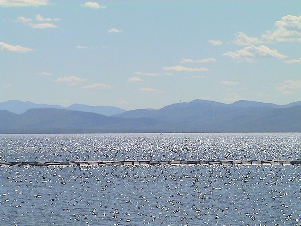
Crown Point Point Au Roche Savage Island Mallett’s Bay Cole Bay
Modified from LCBP Atlas Crown Point Point Au Roche Savage Island Mallett’s Bay Cole Bay Taken north of CP Bridge, near the town of Port Henry, in approx. 9m of water

23
Crown Point Stable Carbon Isotope Total Organic Carbon C/N Ratio
Total Nitrogen 2002 1982 1958 1849 1781

24
Cole Bay Point Au Roche Savage Island Mallett’s Bay Cole Bay
Crown Point Modified from LCBP Atlas

25
Cole Bay Total Organic Carbon Stable Carbon Isotope Total Nitrogen
C/N Ratio 2000 1959 1980 1917 1811 1760 1711

26
Mallett’s Bay Point Au Roche Savage Island Mallett’s Bay Cole Bay
Crown Point Taken in outer malletts bay july 2002 Modified from LCBP Atlas

27
Mallett’s Bay Total Organic Carbon Stable Carbon Isotope
Total Nitrogen C/N Ratio 2001 1996 1979 1964 1926 1859 1819

28
Savage Island Point Au Roche Savage Island Mallett’s Bay Cole Bay
Crown Point Modified from LCBP Atlas

29
Savage Island Total Organic Carbon Stable Carbon Isotope
Total Nitrogen C/N Ratio 1991 1840 1668

30
Point Au Roche Point Au Roche Savage Island Mallett’s Bay Cole Bay
Modified from LCBP Atlas Point Au Roche Savage Island Cole Bay Crown Point Mallett’s Bay

31
Point Au Roche Stable Carbon Isotope Total Organic Carbon
Total Nitrogen C/N Ratio 2002 1984 1957 1917 1845 1764 Can I relate decrease in OC and TN at top to decrese P???

32
Nutrient and Pigment Data for Crown Point
Total Organic Carbon Total Phosphorus C/N d13C Biogenic Silica Myxoxanthin Diatoxanthin 2002 1958 1804

33
Watershed Development
Date Disturbance Geochemical Trend Prior to 1780 Pre-settlement Stable 1780- early 1900 Settlement, Deforestation, Agriculture Trend toward Eutrophication 1950 Chemical Fertilizer, Development More rapid trend toward eutrophication

34
Summary Very little change prior to 20th century
Post-1950s Overall increase in organic matter deposition in upper portion of cores Possibly indicative of increased productivity

35
Possible Implications for Lake Management
Historical variability Rates of change Lag time Effects of remediation

36
Thanks USGS Neil Kamman and the VT DEC Vermont Geological Society
Andrea Lini, Milt Ostrofsky and Suzanne Levine University of Vermont Geology Department

39
Stable Carbon Isotopes and Bioavailable Phosphorus
From Schleske and Hodell, 1995

40
Savage Island Total Phosphorus
Total Phosphorus mg/gdry sediment

41
Diatom Assemblages Algae with siliceous cell walls
Different assemblages based on: Location in lake, i.e. planktonic vs. benthic Productivity, pH, DOC within lake Therefore useful indicators of environmental conditions through time From: Academy of Natural Sciences

42
Trophic Status and Phosphorus
Trophic state often based on phosphorus concentration (mg/l) Oligotrophic 0-10 Mesotrophic 10-20 Eutrophic >20 Trophic state measurements are often based on phosphorus levels, because P is a limiting nutrient in most lacustrine systems, which essentailly means that as P levels increase, productivity increases. P is measured in mg/L, and defines the 3 states: Oligotrophic lakes have low algae growth and high water clarity, with p levels between 0 and 10 mg/l Mesotrophic lakes have some algae growth and lower water clarity, with P levels between mg/l Eutrophic lakes have very high algae growth and very poor water clarity, with P levels greater than 20 mg/l This map shows the different trophic states across lake champain based on P concentrations…
 Oligotrophic Mesotrophic Eutrophic >20. Trophic state measurements are often based on phosphorus levels, because P is a limiting nutrient in most lacustrine systems, which essentailly means that as P levels increase, productivity increases. P is measured in mg/L, and defines the 3 states: Oligotrophic lakes have low algae growth and high water clarity, with p levels between 0 and 10 mg/l. Mesotrophic lakes have some algae growth and lower water clarity, with P levels between mg/l. Eutrophic lakes have very high algae growth and very poor water clarity, with P levels greater than 20 mg/l. This map shows the different trophic states across lake champain based on P concentrations…")
43
Total Organic Carbon C/N d13C Biogenic Silica Total Phosphorus Diatoxanthin Myxoxanthin

44
Stable Carbon Isotopes
Indicative of: Changes in productivity Source of terrestrial or aquatic OM

45
C/N ratio vs. 13C 13C C/N C/N

Similar presentations


 – 2.247; * 1 Y= 0.052(flow)^0.1947;>")


 J.>")


