Download presentation
Presentation is loading. Please wait.

1
September 2011

2
What is Geography? Geography the study of the earth's landscapes, peoples, places and environments. It is, quite simply, about the world in which we live. A person who studies geography is called a geographer.

3
Geography Themes There are 5 Main themes in geography: 1. Location 2. Place 3. Human-Environment interaction 4. Movement 5. Region

4
Location Every place on Earth has a location. Ask yourself: Where is this place located, and how has it’s location affected it?

5
Place People, animals, weather, plants and history make places unique. Ask yourself: What are the unique features of this place, and how are they important?

6
Human-Environment Interaction A place’s environment affects the way people live and how they use the land around them. Ask yourself: What is this environment like and how does it affect the people that live there?

7
Movement People are affected by the movement of people, goods, ideas and physical force. Ask yourself: How is this place changing and why?

8
Region A region is an area that has one or ore features that make it different from surrounding areas(dessert, coastal region, country). Ask yourself: What common features does this area share, and how is it different from other areas?

9
Globes A globe is a scale model of the Earth A pattern of imaginary lines circle a globe in east-west and north-south directions to form a grid. Intersections on this grid helps us to find locations on globe.

10
Latitude East to west lines on a globe are called latitude (think of a ladder’s rungs) Lines of latitude are called parallels because they are always parallel to each other. These lines measure distances north and south of the equator. Distance is measured in degrees (˚).
..")
11
Longitude North to south lines are lines of longitude (think LONG). Lines of longitude are called meridians. They pass through the poles. They measure distance east and west of the prime meridian (imaginary line that runs through Greenwhich, England 0˚).
..")
12
Lines of Latitude and Longitude Lines of longitude measure from 0˚ to 180˚W (west of the prime meridian) and 180˚E (east of the prime meridian) Lines of latitude range from 0˚ for locations on the equator to 90˚N or 90˚S.
 and 180˚E (east of the prime meridian) Lines of latitude range from 0˚ for locations on the equator to 90˚N or 90˚S.")
13
Earth’s Hemispheres

14
Maps Our Earth is round and our maps are flat. This presents a problem. You cannot accurately show Earth on a flat map, so mapmakers must choose which type of map projection best suits their purpose. There are 3 kinds of map projections Cylindrical Conic Flat-Plane

15
Cylindrical Projections A cylinder is wrapped around a globe and touches only the equator. The problem with this projection is that it makes the land near the poles appear larger than they actually are.

16
Conic Projections A cone is placed over a globe. Most useful for maps showing long east-west dimensions like the US.

17
Flat-Plane Projections A plane (flat surface) is placed over a globe and touches only one spot. It is useful for showing true direction, but distorts shapes of landmasses.

18
Looking at Map Projections Which is which?

19
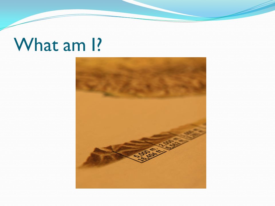
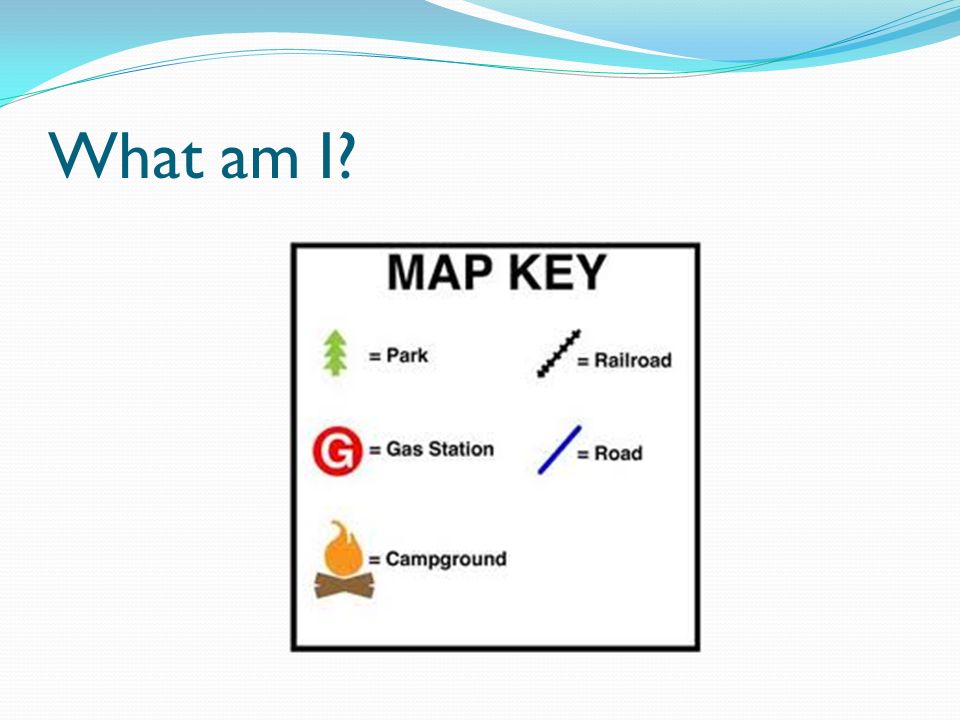
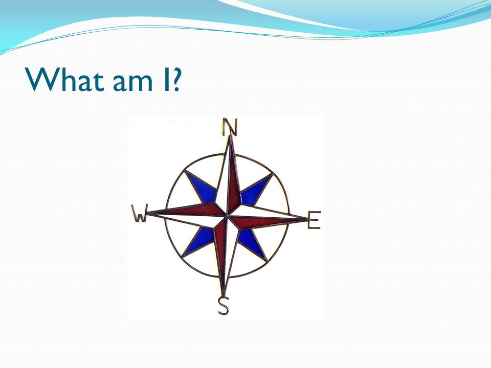
Map Essentials Most maps have the following: Title – tells what the subject is Compass Rose - shows cardinal directions N, S, E, W Scale – give distance in miles and kilometers Legend – also called a map key explains symbols on a map Locator Map – shows where in the world the map is located

20
Let’s Play a Game Can you name the following map essentials?

21
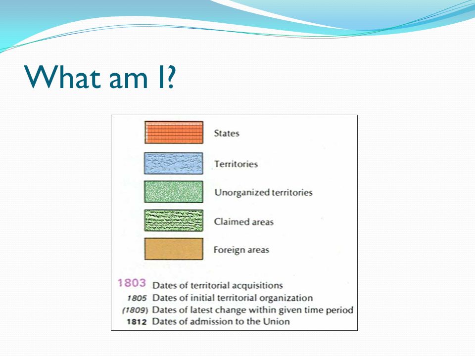
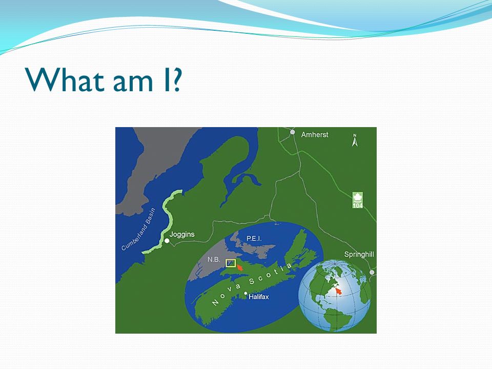
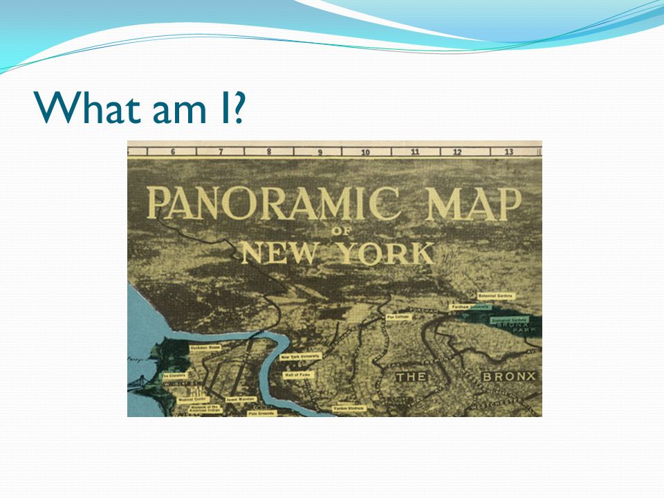
What am I?

28
What essential features are located on this map?

29
Types of Maps Physical Maps – show major features (lakes, rivers, mountains, etc.) in a region Political Maps – shows borders, capitals, and other major cities Historical Maps – Show information from the past Route Maps – shows a route or path someone followed
 in a region Political Maps – shows borders, capitals, and other major cities Historical Maps – Show information from the past Route Maps – shows a route or path someone followed")
30
Historical Map or Political map?

31
Route Map or Political Map?

32
Physical Map or Historical Map?

33
Physical Map or Route Map?

Similar presentations