Download presentation
Presentation is loading. Please wait.

1
Map Reading and Navigation

2
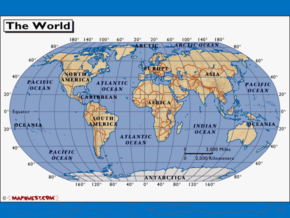
Latitude and Longitude ► The earth is divided into lots of lines called latitude and longitude.

3
Latitude and Longitude ► Longitude lines run north and south. ► Latitude lines run east and west. ► The lines measure distances in degrees. Latitude Longitude

4
0 Degree Latitude ► The equator is 0 degrees latitude. ► imaginary belt that runs halfway between the North Pole and the South Pole. Equator

5
0 Degrees Longitude ► The prime meridian is 0 degrees longitude. ► This imaginary line runs through the United Kingdom, France, Spain, western Africa, and Antarctica.

7
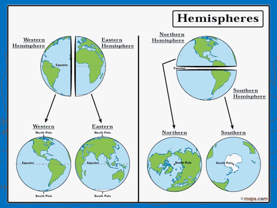
Hemispheres ► equator and prime meridian divide the world into four hemispheres ► north, south, east, and west.

9
Compass/Compass Rose ► Compass: North, South, East, West ► Compass Rose: N, NE, E, SE, S, SW, W, NW

10
Scale ► Maps are made to scale ► direct connection between a unit of measurement on the map and the actual distance

11
Ancient Navigators ► Did not understand latitude and longitude ► No maps early on ► Relied on the sun and stars to determine position

12
Ancient Navigational Tools ► Dead reckoning ► Lead line ► Mariner’s compass ► Chip log ► Sextant ► Seagoing chronometer

13
Topographic Map ► 2-D picture of a 3-D Earth ► Contour line – connects elevations of equal height ► Contour interval – vertical distance between contour lines ► Example Example

14
Contour Lines ► Close together = steep slope ► Far apart = gentle slope ► All maps have a contour interval ex: a contour interval of 20m means each conntour line is 20 m apart ► At sea level, elevation is ALWAYS 0

15
Bathymetric Map ► Bathymetry is from the Greek: bathos = deep, and metry = measure ► A bathymetric map shows what the ocean floor would look like if all the water drained out ► Basically a reverse topographic map

16
3-D Gulf of Mexico

17
2-D Bathymetry

18
Out What methods do you think we have available to map the ocean floor. Why might this be inaccurate?

Similar presentations