Download presentation
Presentation is loading. Please wait.

1
Exploring the Earth’s Surface Landforms
Based on Study Guide Pages 34-38

2
Basic Vocab Topography - the shape of the land
Elevation – height above sea level Relief – difference in elevation between highest and lowest point Landforms – feature of topography formed by the processes that shape Earth’s surface

3
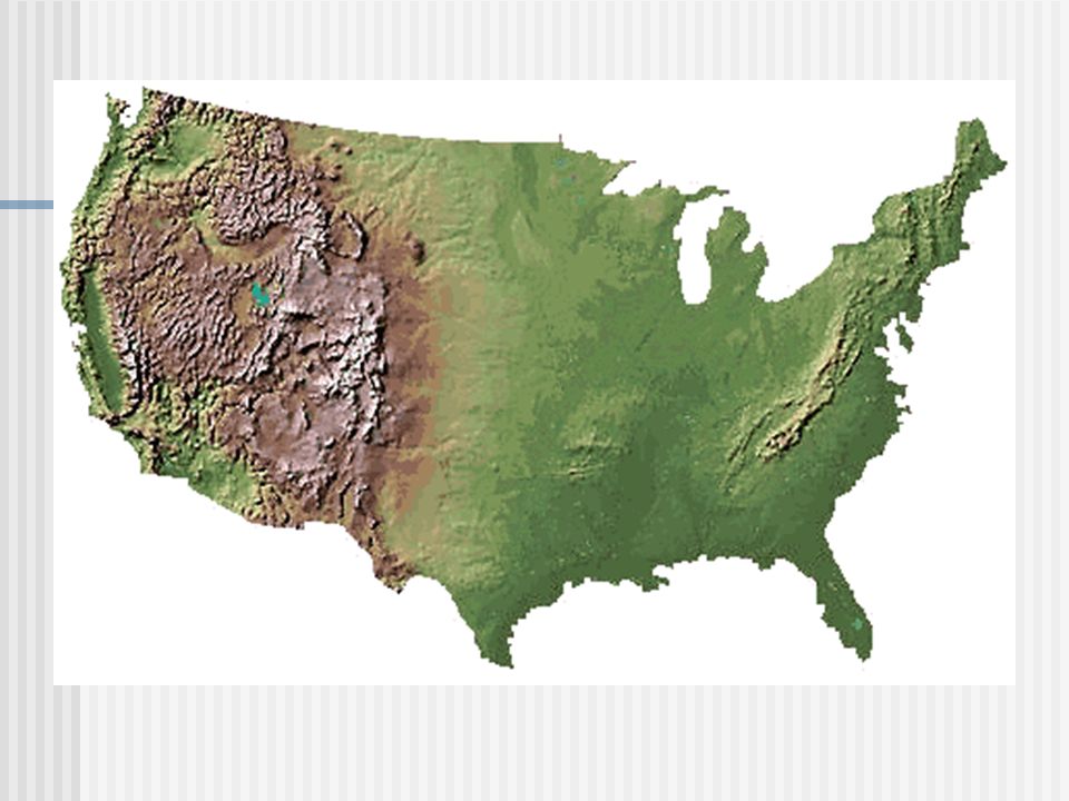
Landforms There are three landforms mentioned in the book: Plains
Mountains Plateaus We will also talk about: Valleys

4
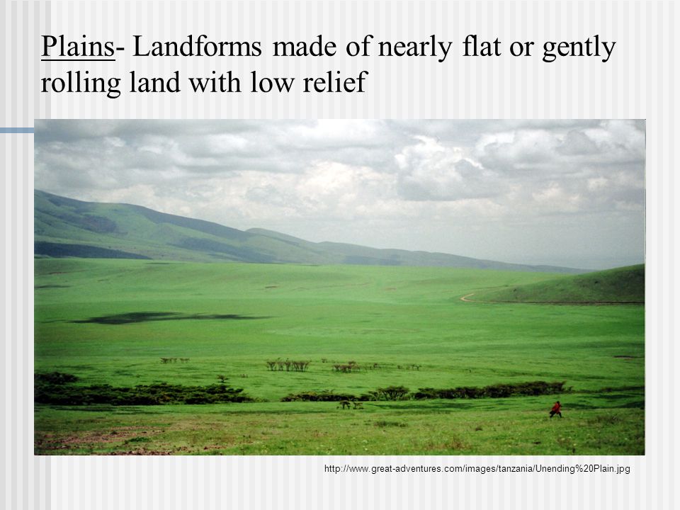
Plains- Landforms made of nearly flat or gently rolling land with low relief
5
Mountains- landform with high elevation and high relief

6
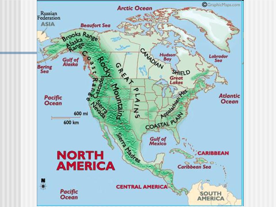
Mountain range- a group of mountains that are closely related in shape, structure and age.

7
Examples of mountain ranges include:
The Bitterroot Mountains in Idaho and Montana.

8
Mountain ranges that form larger units are called mountain systems.
An example of a mountain system is the Rocky Mountains

9
A chain of mountain systems is called a mountain belt.
The American Cordillera is a series of steep mountain ranges that rim the western edge of North and South America

10
The progression goes like this:
Mountains Mountain Range Mountain System Mountain Belt

12
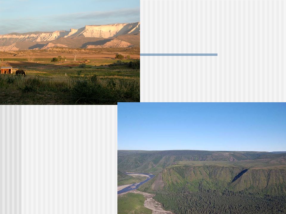
Plateaus- a landform that has high elevation and a more or less level surface.

14
A valley is a low area of land between hills or mountains, typically with a river or stream flowing through it.

15
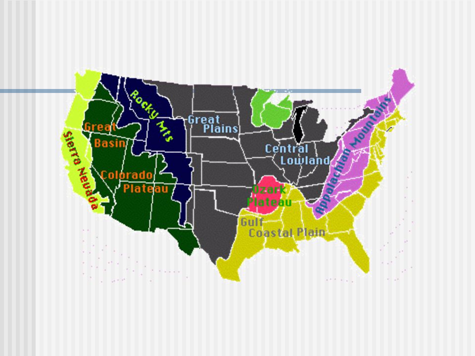
A landform region is a large area where the topography is made up of one type of landform.
Example: Coastal plain-

Similar presentations


 Cultures stress what is most important to themselves Religion, Cities, Landforms Ex. Maps.>")


