Download presentation
Presentation is loading. Please wait.

1
Remote Sensing

2
Gives us “the Big Picture” Allows us to see things from the larger perspective. Allows us to see things we otherwise might miss.

3
Definition : Remote sensing is the science and art of obtaining information about an object, area, or phenomenon through the analysis of data acquired by a device that is not in contact with the object, area, or phenomenon under investigation.

4
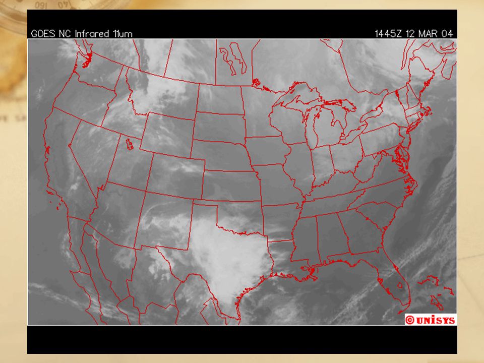
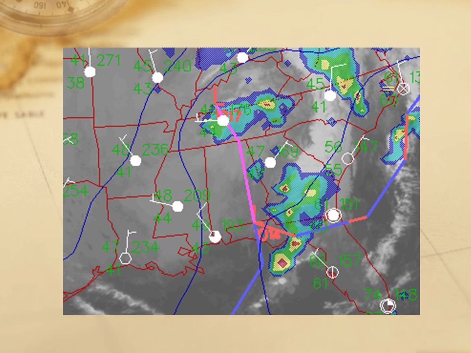
The Need for Remote Sensing Meteorology: Profiling of atmospheric temperature, pressure and water vapor content. Oceanography: Measurement of the sea’s surface temperature, mapping ocean currents and wave energy spectra. Glaciology: Mapping the distribution and motion of ice sheets and sea ice, determining the navigability of sea ice. Geology,Geomorphology: Identification of rock type, location of geological faults and anomalies, observing tectonic motion. Topography: Obtaining accurate elevation data and referring them to a given coordinate system, production and revision of maps. Agriculture, Forestry: Monitoring the extent and type of vegetation cover and its state of health, mapping soil type and determining its water content. Hydrology: Assessing water resources, forecasting meltwater run-off from snow. Disaster Control: Warning of sand and dust storms, avalanches, landslides, flooding etc.,monitoring of pollution. Planning Applications: Generation of inventories of land use and monitoring changes, assessing resources, performing traffic surveys.

5
Aerial View - The viewer is observing from above the object. Synoptic View - The viewer is able to see an object in relation to other objects. Vertical View - The sensor is directly overhead. Oblique View - The sensor is not directly overhead; it is taking the image at an angle.

6
Oblique View of Southern California

7
Platform Platform - the device to which the sensor is attached Sensor Sensor - the device that actually gathers the remotely sensed data Two Parts of Remote Sensing

8
Paris, 1858

10
Pigeon Photographers

11
Actual Pigeon Pictures

12
Post-quake San Francisco, 1906

13
Wilbur Wright and his first aerial photograph of France.

17
Landsat Satellite Ox-Bow of the Mississippi

18
High Altitude Platform

19
High Altitude Balloon Platform

20
Landsat sensor array

21
True color film Infrared film

26
Landsat Image

Similar presentations


>")


. With this.>")


 which was also the beginning.>")