Download presentation
Presentation is loading. Please wait.

1
Enabling the Transition of CPC Products to GIS Format Brian Doty Jennifer Adams Michael Halpert Viviane Silva

2
Strategy Enhance the GrADS software package to: –Output GIS formats –Improve analysis and data management for multi-ensemble multi-model data sets CPC delivers products via the ArcGIS server

3
The Grid Analysis and Display System (GrADS) Integrated environment for data access, analysis, and display Automation and batch processing Open source; active open source community Handles many data formats: binary, netCDF, HDF, GRIB1, GRIB2, BUFR Distributed data via GDS and openDAP (GDS: GrADS Data Server)
 Integrated environment for data access, analysis, and display Automation and batch processing Open source; active open source community Handles many data formats: binary, netCDF, HDF, GRIB1, GRIB2, BUFR Distributed data via GDS and openDAP (GDS: GrADS Data Server)")
4
GIS Data Formats Shapefile –Vector format Enhance the GrADS graphics package to produce vector data compliant with Shapefile standards –Attribute database (metadata) Use metadata already internal to GrADS where possible; provide interface to provide additional metadata GeoTIFF –Raster format Produce analytic grid products with GrADS and output directly to GeoTIFF format
 Use metadata already internal to GrADS where possible; provide interface to provide additional metadata GeoTIFF –Raster format Produce analytic grid products with GrADS and output directly to GeoTIFF format")
5
GrADS, Ensembles, Multi-model Biggest design issue: How to handle time Examples follow

6
Ensemble Forecast Time Series at a fixed location Forecast Time --->

7
Ensemble Forecast Grid at a fixed location Forecast Time ---> Ensemble Member

8
Two Ensemble Forecasts at a fixed location Forecast Time ---> Ensemble Member

9
Ten Ensemble Forecasts at a fixed location Forecast Time ---> Ensemble Member

10
33 Ensemble Forecasts at a fixed location Forecast Time ---> Ensemble Member

11
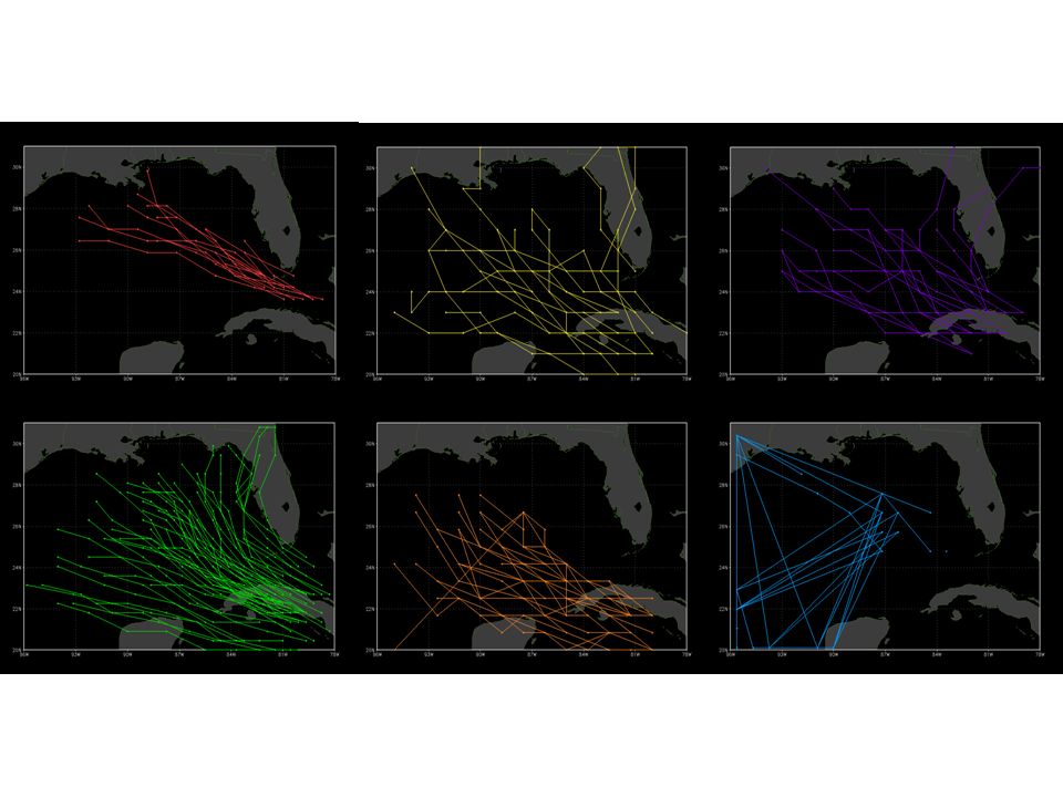
Examples of Ensemble Data Sets NCEP GFS Ensembles (GENS) NCEP Short Range Ensemble Forecasts (SREF) NCEP Climate Forecast System (CFS) ESRL MRF Re-Forecasting Experiment WCRP CMIP3 Multi-Model Data (IPCC AR4) ENSEMBLES THORPEX Interactive Grand Global Ensemble (TIGGE)
 NCEP Short Range Ensemble Forecasts (SREF) NCEP Climate Forecast System (CFS) ESRL MRF Re-Forecasting Experiment WCRP CMIP3 Multi-Model Data (IPCC AR4) ENSEMBLES THORPEX Interactive Grand Global Ensemble (TIGGE)")
12
Ensemble Data Sets Behind GDS 2.0 Data become more usable and accessible Subsets over all dimensions Server-side analysis File aggregation and format translation Metadata standards:

13
Ensemble Forecast Time Series at a fixed location Forecast Time --->

14
Ensemble Forecast Time Series at a fixed location Forecast Time --->

15
TIGGE Multi-Member Multi-Model Ensemble 500mb Geopotential Height valid August 30, 2008 7-day Lead 3-day Lead 5-day Lead 1-day Lead

16
TIGGE MME Forecast Error and Ensemble Spread 500mb Geopotential Height valid August 30, 2008 7-day Lead 3-day Lead 5-day Lead 1-day Lead

17
TIGGE Multi-Member Multi-Model Ensemble 500mb Geopotential Height valid August 30, 2008 7-day Lead 3-day Lead 5-day Lead 1-day Lead

18
TIGGE MME Forecast Error and Ensemble Spread 500mb Geopotential Height valid August 30, 2008 7-day Lead 3-day Lead 5-day Lead 1-day Lead

20
The End

Similar presentations


 AMS/IIPS 13 January 2004.>")


 and Twentieth Century Reanalysis at NCAR Thomas Cram - NCAR, Boulder, CO Gilbert Compo & Chesley McColl.>")


 Enhancement for ESDIS (GEE) Increasing Accessibility and Interoperability of NASA Data Products with GIS Tools.>")
, D. Richardson (2), D. Schuster(3), R. Swinbank (4), Z. Toth (3), S.>")