Download presentation
Presentation is loading. Please wait.

2
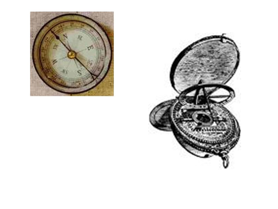
New Technology: –Use of ASTROLABES to calculate latitude, used stars and sun, to find the distance between the North and South Equator –By 1200s Europeans had started to use a Chinese Invention called the COMPASS – Could get direction without stars or sun

4
Europeans began to build larger ships called Caravels – these ships were more maneuverable.

5
A Sailor’s Life –Most of crew would die on the journey –Sailors would lose their flesh, hair, and the nails would be gone from their feet and hands

6
A Sailor’s Life Ships were filthy –Foul smells became a haven for rats; so most ships were required to carry one cat –Drinking water came from rain

7
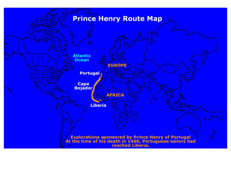
Portugal Leads the Way: –Portuguese wanted to seek an all-water route to Asia –Portuguese government actively encouraged and sponsored several overseas explorations

9
Portugal Leads the Way –Prince Henry “The Navigator” He believed that through exploration, Christianity could triumph over Islam and that this would lead to getting Jerusalem back Wanted to find rich African “gold kingdoms” Wanted an all-sea route to Asia Prince Henry never sailed

11
At first, most slaves in West African society were either criminals or captives taken in war –Slaves were usually temporary

12
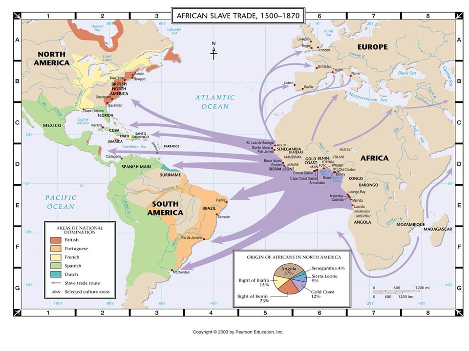
Eventually the slave trade led to African Diaspora: The displacement of Africans from their Native Lands. –Now Africans are slaves on other Continents

14
During the 400 years the Slave Trade operated more than 10 million Africans were removed from their homeland as slaves The Slave Trade increases warfare among various West African Nations because they could get valuable goods from the Europeans (guns) in exchange for slaves
 in exchange for slaves")
15
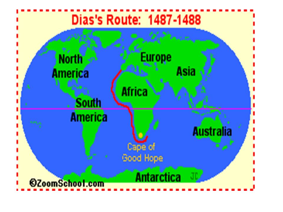
Bartolomeu Dias: rounded the Cape of Good Hope, Africa’s Southern Most Tip, and established a water-route to the Indian Ocean

17
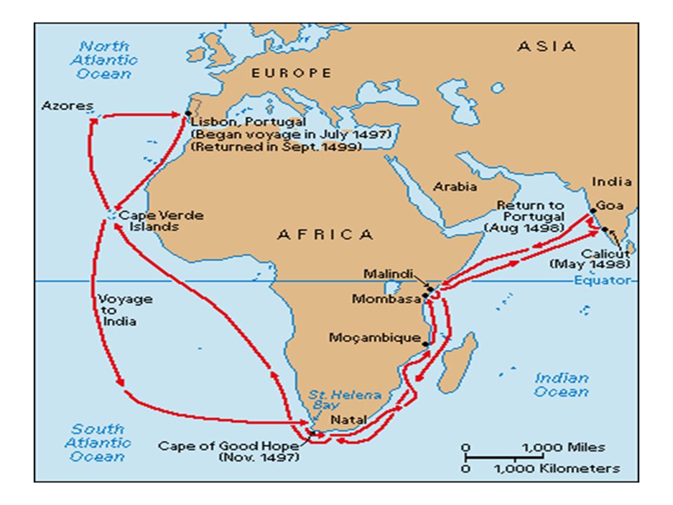
Vasco da Gama: Took Dias’ Route and landed in India (1498)
")
Similar presentations


 This section is about: This section is about: How Prince Henry the Navigator sent out explorers,>")