Download presentation
Presentation is loading. Please wait.

1
The 5 Themes of Geography

2
Location Answers the Question, “WHere IS it?”
2 types of location: Relative Absolute

3
“WHERE IS IT?!” EVERY PLACE HAS BOTH AN ABSOLUTE AND A RELATIVE LOCATION!

4
Relative location Tells where a place is compared with one or more other places. Kentucky is north of Tennessee. Bowling Green is west of Glasgow Next door, next to the post office, down the road a little bit, etc.

5
ABSOLUTE LOCATION THIS IS THE EXACT SPOT WHERE A PLACE CAN BE FOUND (specific). Can use coordinates (where latitude and longitude meet cross) 38 N, 120 E 202 Pintail Dr, Bowling Green KY
 38 N, 120 E. 202 Pintail Dr, Bowling Green KY.")
6
Place This means more than just where a place is...do not confuse place with location. A place is an area that is defined by the things (everything) in it. Physical Characteristics vs. Human Characteristics
 in it. Physical Characteristics vs. Human Characteristics.")
7
REGION A region is an area that is defined by certain similar characteristics. Those unifying or similar characteristics can be physical, natural, human, or cultural.

8
MOvement Movement refers to the way people, products, information and ideas move from one place to another. This can be local, such as “How did you get to school today?”, or it can be global, such as “How did humans get to North America?”

9
HUman-Environment Interaction
Human-environment interaction looks at the relationships between people and their environment, both good (positive interaction) and bad (negative interaction). how people adapt to the environment how people change the environment
 and bad (negative interaction). how people adapt to the environment. how people change the environment.")
10
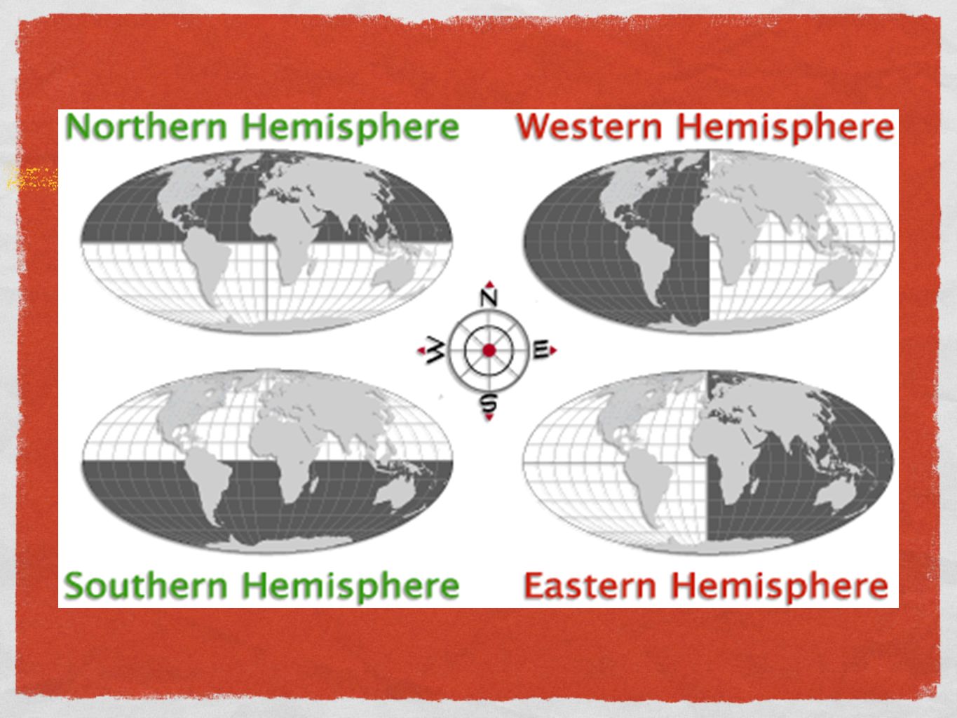
Examples of Location Relative or Absolute?
St. Petersburg lies on the coast of the Baltic Sea, at 60º N, 30ºE. Kansas City, Missouri is just east of Kansas City, Kansas. The Great Barrier Reef is by Australia. The capital of Malaysia is 3ºN, 101ºE. Oklahoma is in the harvest belt. Egypt is in Africa. Africa is in the Eastern Hemisphere. Colorado is west of Missouri.

11
Region #1 #2 #3

12
MOvement Provide 4 examples of movement one movement of people
one movement of ideas one movement of goods The remaining example may be of your choice.

13
HUman/Environment Interaction
#1 #2 #3 #5 #6 #4

14
Place Vs. Location Is there a difference? Why or why not?
A place is defined by... Bowling Green A region is defined by... The West Bowling Green is in Warren County.

15
HUman-ENvironment INteraction
Most examples provided were examples of people changing, or adapting, their environment. Just remember...can the environment change, or adapt, people? Can human-environment interaction be positive and/or negative?

16
The Five themes of Geography
They are all around you!!! You experience examples and probably do not even realize it! For example, the music you listen to, the movies you watch, and the activities in which you participate likely demonstrate the five themes of Geography. Alan Jackson's "Drive"

17
Features/Parts/Tools of Maps
#1: Title Can you generate a title for the map that is in front of you?

18
Features/Parts/Tools of Maps
#2: Map Key/Legend explains the meaning of the symbols, colors, objects, etc. used on the map Create a key/legend for the map that is in front of you.

19
Features/Parts/Tools of Maps
#3: Compass Rose: figure on the map that shows the cardinal & intermediate directions and their points Cardinal Directions -- main directions North (N) - towards North Pole East (E) - East is to your right when you face north South (S) - towards South Pole West (W) - West is to your left when you face north Create a compass rose that shows the cardinal directions on the map that is in front of you.
 - towards North Pole. East (E) - East is to your right when you face north. South (S) - towards South Pole. West (W) - West is to your left when you face north. Create a compass rose that shows the cardinal directions on the map that is in front of you.")
20
Features/Parts/Tools of Maps
#3: Compass Rose: figure on the map that shows the cardinal & intermediate directions and their points Intermediate Directions -- four points halfway between each pair of cardinal points Add the intermediate directions to your compass rose.

21
Features/Parts/Tools of Maps
#4: Scale ratio of the distance on the map to the corresponding distance on the ground Using your map and its scale, can you determine the distance from the southern tip of South America to the southern tip of Africa?

22
Features/Parts/Tools of Maps
#5: Grid #6: Map Index

23
Features/Parts/Tools of Maps
#7: Latitude and Longitude/Parallels & Meridians imaginary lines that form a grid over the Earth that allow us to pinpoint exact locations

24
Latitude horizontal Equator = 0º (measured in degrees)
Parallels because they circle the globe parallel to the Equator (east/west) Run East to West but are measured North to South
 Run East to West but are measured North to South.")
25
Longitude vertical Prime Meridian = 0º (measured in degrees) Meridians
Run North to South but are measured East to West

27
Types of Maps Political Physical Special Purpose, or Thematic

28
Physical Maps Purpose = to show the physical or natural world
show landforms and bodies of water used to locate physical or natural features, such as rivers and mountains, ocean currents, and wind patterns

29
Political Maps Purpose = to show the political divisions that people have made on the Earth (man-made) show the boundaries of nations and states and the location of towns and cities used to locate places where people live and to understand how human beings have divided up Earth

30
show a specific subject or theme
Special Purpose Maps show a specific subject or theme also called thematic maps (since they show a specific subject or theme)
")
Similar presentations