Download presentation
Presentation is loading. Please wait.

1
GIS Lecture 1 Introduction to GIS Buildings. Poly Streams, Line Wells, Point Roads, Line Zoning,Poly MAP SHEETS

2
GIS Overview

3
What is GIS? GIS (Geographic Information System): computer information system that can input, store, manipulate, analyze, and display geographically referenced (spatial) data to support decision making processes.
: computer information system that can input, store, manipulate, analyze, and display geographically referenced (spatial) data to support decision making processes..")
4
Tools for a GIS Hardware - Computer - Printer / Plotter - Digitizer - Scanner GIS Desktop Software CAD Software Multimedia - Photos, Video, 3D Models World Wide Web GIS Personnel

5
GIS Data Raster Images - grids “pixels” satellite images aerial photos Vector - grids features: points, lines & polygons attributes: size, type, length, etc.

6
GIS Data Sources Digitized and Scanned Maps purchased, donated, free (Internet) created by user Data Bases – Tables of data GPS (Global Positioning Systems) Field Sampling of Attributes Remote Sensing & Aerial Photography
 created by user Data Bases – Tables of data GPS (Global Positioning Systems) Field Sampling of Attributes Remote Sensing & Aerial Photography")
7
Conventional Information Systems Answer the following questions: - Who ? - What ? - When ? - Why ? - How ?

8
GIS answers the following Location: What is at...? Condition: Where is it? Trends: What has changed since...? Patterns: What spatial patterns exist? Modeling: What if…? Exploring data using GIS turns data into information into knowledge

9
Data Data Data Location Data How Many? – What Kind? – Where? Scale of Data Global to Local Data Presentation Words, Charts, Graphs, Tables, Maps, Photos

10
Databases Not easy to interpret

11
Visualizing Data A picture is worth a thousand words

12
“Layers” of GIS Information Municipalities

13
“Layers” of GIS Information Census Tracts

14
“Layers” of GIS Information Lakes and Rivers

15
“Layers” of GIS Information Polluting Companies

16
“Layers” of GIS Information Schools

17
Maps and Databases are Interactive

18
GIS Connects Graphics to Data

19
Queries and Restrictions

20
GIS Turns Data Into Information

21
GIS Examples

22
GIS Applications Business Site Location, Delivery Systems, Marketing Government Local, State, Federal, Military Economic Development Population Studies, Incomes, Census and Demographic Studies Emergency Services Fire & Police Environmental Monitoring & Modeling Industry Transportation, Communication, Mining, Pipelines, Healthcare Public Health Epidemiology Studies Urban Planning Land Use, Historic studies, Environmental and Conservation Studies, Housing Studies, Crime Analysis PoliticsElections and Reappointment EducationResearch, Teaching Tool, Administration Wherever Spatial Data Analysis is Needed

23
GIS Examples Instructor should add examples specific to their industry here.

24
ESRI To learn more, visit: http://www.esri.com/industries.html

25
GIS Tutorial

26
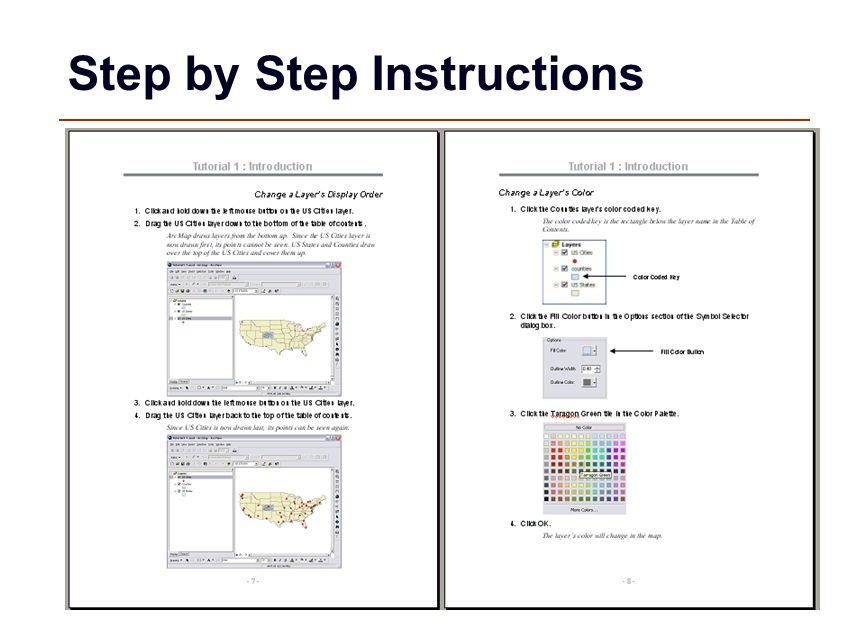
Step by Step Instructions

28
GIS Tutorial Data

29
Saving Homeworks

Similar presentations


: computer information system that can input, store, manipulate, analyze, and display geographically.>")


 Geography is the study of locational and spatial trends about the earth’s surface, the objects found on it, and the.>")


 = a computer- based tool for analyzing (and mapping) spatial or, geographic information (2D or 3D).>")


 integrates hardware, software, and data for capturing, managing,>")