Download presentation
Presentation is loading. Please wait.

2
Maps

3
Maps- 2 dimensional representation of the Earth or certain areas Globes- 3 dimensional representation of the Earth

4
T-Title- Explains the subject of a Map O- Orientation- Shows North, South, East and West A- Author- Who made the Map D- Date- When the Map was made S- Scale- What is the distances on the map

5
1) Reference Maps- represents natural and man-made features on Earth. (Physical and Political Maps 2) Thematic Maps- Display a specific type of information, such as climate or population density 3) Navigational Maps- Used mainly by sailors and pilots
 Thematic Maps- Display a specific type of information, such as climate or population density 3) Navigational Maps- Used mainly by sailors and pilots.")
7
Physical Maps- Used to show the types of landforms and bodies of water in a specific area

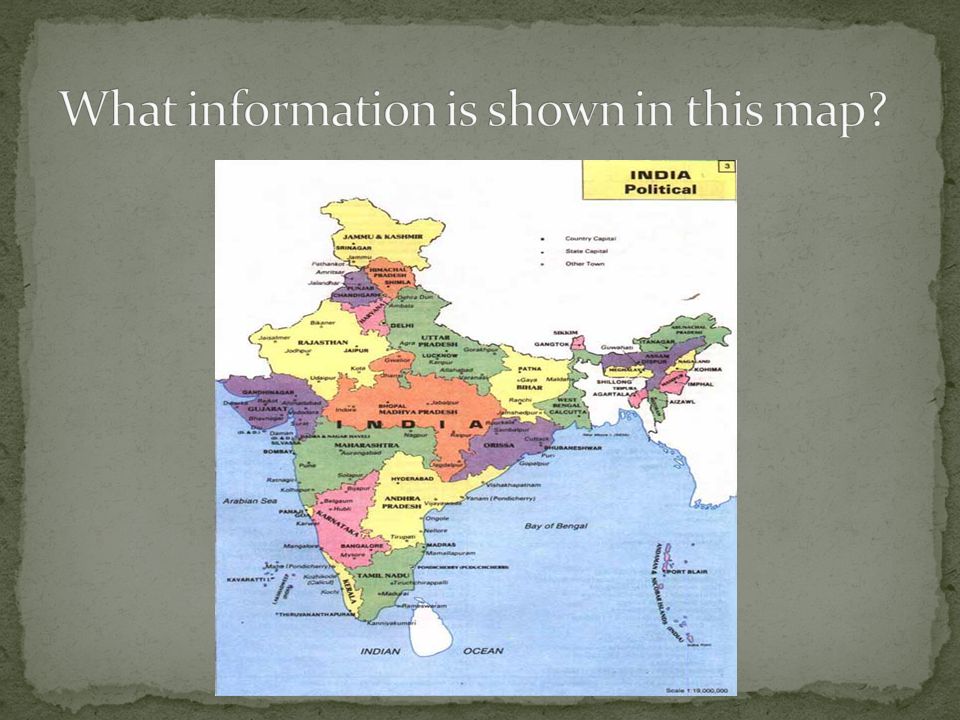
8
Political Maps- Shows features of the Earth that are human created. (cities, states, countries)
")
9
Maps that focus on a specific type of information Example Cartograms- shows information on an area based on data beside land area.

Similar presentations