Download presentation
Presentation is loading. Please wait.

1
Briefing - Discussion Meeting on UNGIWG, UNSDI and UNSDI-NCO GeOMATICS BUSINESS PARK Marknesse, N.O.P 7 March 2006; 14.00 hrs Jelle U. Hielkema FAO – UNGIWG Consultant

2
SYMBOLIC HUMAN HEAD

3
THE ESSENCE OF MAPMAKING He had brought a large map representing the sea, Without the last vestige of land: And the crew were much pleased when they found it to be A map they could all understand. Lewis Carroll The hunting of the snark; an agony in eight fits. You Are Here

4
OUR WORLD IN A PERSPECTIVE

5
“ Mapmaking fulfills one of our most ancient and deep-seated desires: understanding the world around us and our place in it” Katharine Harmon Author of “ You are Here”

6
A voluntary network of UN specialised agencies, programmes and funds Established in March 2000 to: –Facilitate technical collaboration and formulate policies concerning geographic information in the UN- system and with member states –Address common geospatial issues – maps, boundaries, data access and exchange, adherence to international standards, naming conventions and location –Provide a forum to discuss emerging technologies, experience with applications, and coordinate actions What is it?

7
Membership More than 30 UN Specialized Agencies, Programmes and Funds are currently members of UNGIWG – 7th Plenary Meeting in November 2006; Santiago, Chile

8
Overall Goal To build a United Nations Spatial Data Infrastructure (UNSDI) required to enhance spatial data and information sharing and exchange and promote and achieve sustainable development
 required to enhance spatial data and information sharing and exchange and promote and achieve sustainable development")
9
Specific Objectives improve the efficient use of geographic information for better decision-making; promote standards and norms for maps and other geospatial information; develop core maps and databases to avoid duplication; build mechanisms for sharing, maintaining and assuring the quality of geographic information; provide a forum for discussing common issues and emerging technological changes.

10
Organization

11
Activities & Task Groups International and administrative boundaries Core Geo-Database Remote Sensing Interoperable Services GIS Map Production Guidelines Global Navigation Satellite Systems

12
Tangible Outputs Yearly Plenary Reports since 2000 Strategic plan 2001-2002 Inventory of globally consistent databases UN approved standard international boundaries De facto ISO and OpenGis compliant metadata standard - GeoNetwork SALB/GAUL Administrative Boundaries GIS map production guidelines

13
UNSDI Guiding Principles Distinct SDI required for UN context Groundwork already laid by UNGIWG UNGIWG should closely coordinate with other global and national efforts toward SDI’s

14
UNSDI - Generic Elements Data, metadata, standards, data sharing and exchange Develop common operational services Define an organizational and institutional environment Technical capacity building in developing countries and member organizations

15
UNSDI ‘Contours’ Goals Decentralized coordination framework Standardization of tools Continuity and sustainability

16
UNSDI FORMULATION Barry L. Henricksen Rome6-8 February FAO, WFP, UNJLC Geneva9-10 February WHO, UNHCR, UNOSAT, UNEP/DEWA/DEPA GRID Nairobi telecon New York13-14 February DPKO/UNCS, OCHA/FIS, UN-DESA, UN-DPA, DH Library GSDI - CIESIN (Chen, Yeatman) telecon (Onsrud) GIST telecons (Messick VAAF, Sawyer USAID/OFA & Holcomb ITOS) Hunter college NY (Ahearn) Rome 16-17 February FAO – WFP debriefing/review To be continued during April – November period
 telecon (Onsrud) GIST telecons (Messick VAAF, Sawyer USAID/OFA & Holcomb ITOS) Hunter college NY (Ahearn) Rome February FAO – WFP debriefing/review To be continued during April – November period.")
17
Global Spatial Data Infrastructure GSDI National Spatial Data Infrastructures NSDI EU INSPIRE UNSDI GeoConnection / FGDC GMES/GEOSS

18
Organizational / Institutional Structure HR/Fin. Metadata Data (Task Groups 1,2,3) Standards Task Groups (4,5,6) Capacity Building Services / Infrastructure Global Spatial Data Infrastructure National Spatial Data Infrastructure - Partners - Regional Bodies Policy (inclusions/exclusions) / Legal Partners GSDI NSDI
 Standards Task Groups (4,5,6) Capacity Building Services / Infrastructure Global Spatial Data Infrastructure National Spatial Data Infrastructure - Partners - Regional Bodies Policy (inclusions/exclusions) / Legal Partners GSDI NSDI.")
19
UNSDI- National SDI discussions being held with leading institutions in The Netherlands, the Czech Republic and F.R. Germany Over to UNSDI – NCO www.unsdi.nl

20
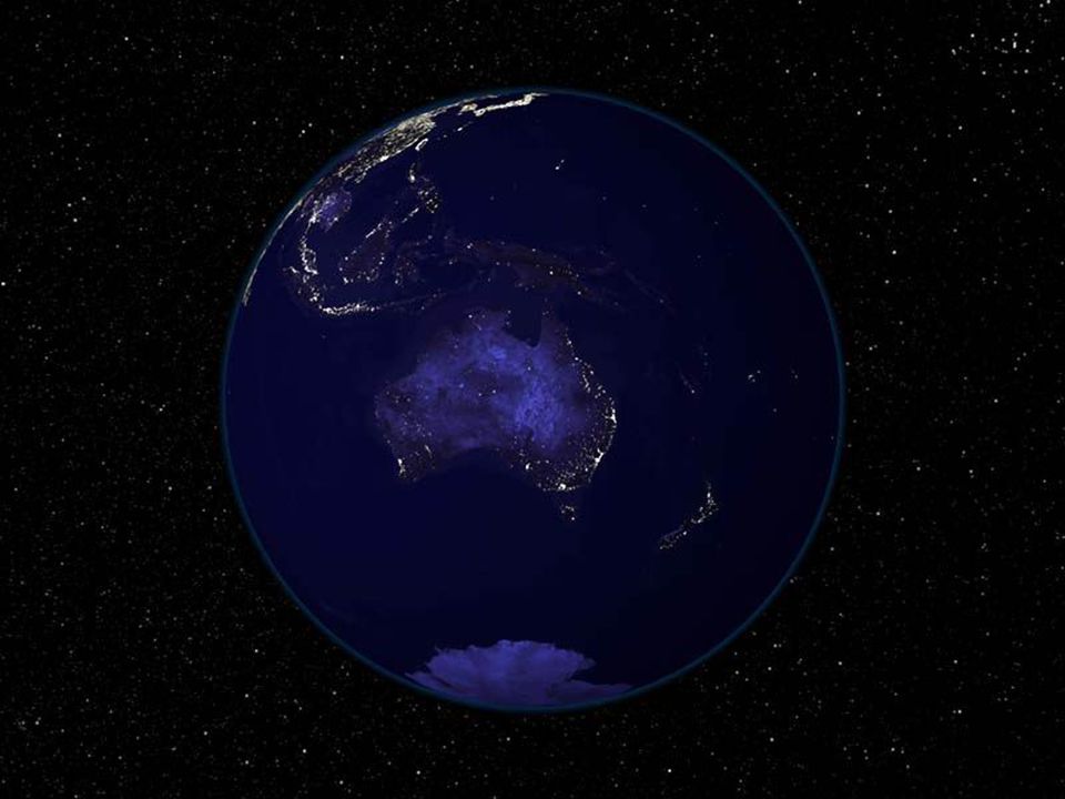
Oh la belle bleue!

Similar presentations


 Lead: Martha Maiden (NASA) Facilitate the development, availability and harmonization of data, metadata, and products.>")

>")


 Basic Concepts Regional Training on Statistical Methods and Information System Technologies for.>")
 - Poland>")


