Download presentation
Presentation is loading. Please wait.

1
The Vuel Concept: Towards a new way to manage Multiple Representations in Spatial Databases ISPRS / ICA Workshop Multi-Scale Representations of Spatial Data Ottawa July 7 th, 2002 Eveline Bernier, M.Sc. Yvan Bédard, Ph.D.

2
Presentation Outline The context : MOD and SOLAP The nature of the Multiple Representations The Vuel concept The SOLAP prototype Conclusion

3
Map-On-Demand Maps are created upon a set of constraints defined by the user. The user can select the scale and the themes to be displayed. On the web, the map must be displayed as fast as possible (< 10 sec.).
..")
4
Spatial On-Line Analytical Processing (SOLAP) A visual platform built especially to support rapid and easy spatio-temporal analysis and exploration of data. No query language. Based on a multidimensional structure. Operations such as drill-down, drill-up and drill- across.

5
SOLAP Operation Drill-Down

6
Several Display Modes

7
Problematic There is a need, for both applications, to display a same reality according to different points of view and differents abstraction levels. On-the-Fly generalization not efficient enough to supports such applications Existing MR structures don’t support all kinds of multiplicity (geometric, semantic and graphic) and are multi-scale only.
 and are multi-scale only..")
8
Multiplicities Multi-ScaleSingle-Scale Geometric Graphic Semantic View B View A View C View X View Y E View X View Y View A View B View A Building View B House View X View Y Assessment Parcel Cadastral Parcel

9
Proposed Solution To develop a new approach that extends multiple representation concepts for added flexibility in spatial databases. This structure should support different geometric, semantic or graphic representations for the same element of the reality, according to different or similar granularities.

10
The VUEL an idea [Bédard et al., 2000]: influenced by multidimensional data structures; aimed at supporting spatial multidimensional applications (e.g. SOLAP). (View Element) What it is: the visible part of a view. VUEL Geometric Graphic Semantic a unique combinaison of semantic, geometric and graphic occurrence relations.
![The VUEL an idea [Bédard et al., 2000]: influenced by multidimensional data structures; aimed at supporting spatial multidimensional applications (e.g.](http://images.slideplayer.com/15/4803079/slides/slide_10.jpg "SOLAP). (View Element) What it is: the visible part of a view. VUEL Geometric Graphic Semantic a unique combinaison of semantic, geometric and graphic occurrence relations..")
11
The Vuel Ground Reality Building View 4 VUEL 4 House View 1 VUEL 1 House View 2 VUEL 2 Building View 3 VUEL 3 Geometric Graphic Semantic VUEL

12
The Vuel Conceptual Model Built with UML and based on a multidimensional database paradigm. The vuel is presented as a central table linking three dimensions: semantic, geometric, graphic. A spatial database view (e.g. a map) becomes an aggregation of vuels.
 becomes an aggregation of vuels..")
14
Visual Basic SOLAP Prototype Implementation

15
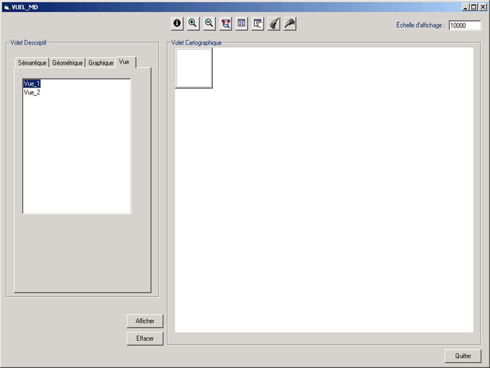
SOLAP Interface DEMO

60
Conclusion The conceptual model can be implemented on an existing relational plateform. The VUEL concept is a flexible database view engine and represents a new solution to manage multiple representations because it supports simultaneously geometric multiplicity, semantic multiplicity and graphical multiplicity. Supports different combinations of geometry, semantic and graphic semiology. This structure allows a user to easily navigate between all the multiplicities, at the occurrence level as well as at the class level.

61
Future Works Continue the development of the SOLAP application based on the vuel structure; Add new functionalities, temporal aspect, other display modes, implementation on a «real» multidimensional structure, etc. Develop a web-based system that supports maps-on demand; SQL-Server (VUEL) – Geomedia WebMap – ASP. Add generalization functionalities; Based on a pattern approach.
 – Geomedia WebMap – ASP. Add generalization functionalities; Based on a pattern approach..")
62
Thanks! Questions??????

Similar presentations


 An approach to design (software, Web, other) that involves the user Interaction Design.>")
 Bread Crumb Trail.>")
 Prepared by Stefan Falke Rudolf Husar Bret Schichtel June 2000.>")
