Download presentation
Presentation is loading. Please wait.

1
Environmental Systems Modeling EENV 5326 GIS for Environmental Engineering

8
Chloride Concentration (mg/l) in 2001 and 2011 About 12 rainfall stations Rainfall precipitation increases from south to north
 in 2001 and 2011 About 12 rainfall stations Rainfall precipitation increases from south to north")
10
Rainfall Pattern in Gaza Strip About 12 rainfall stations Rainfall precipitation increases from south to north

13
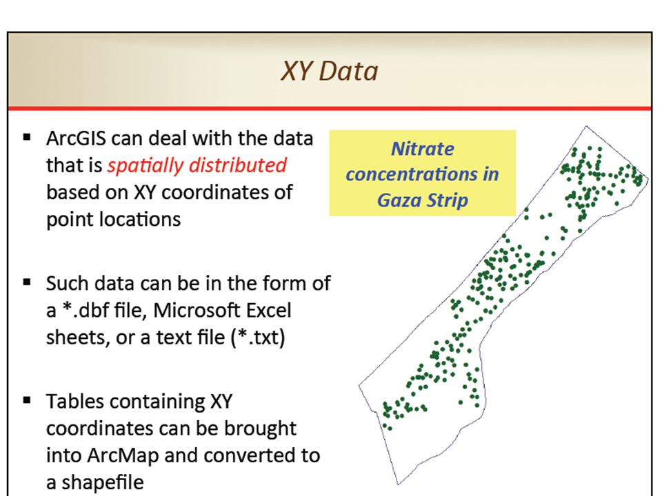
GIS views In GIS, there are 3 different ways in which data can be viewed: 1) Database view 2) Map view 3) Model view
 Database view 2) Map view 3) Model view")
14
The popular GIS software ESRI (GIS software leading company worldwide) commercial products include ArcGIS desktop that includes: ArcMap, ArcCatalog, ArcToolbox, ArcGlobe, ArcIMS and ArcGIS Explorer
 commercial products include ArcGIS desktop that includes: ArcMap, ArcCatalog, ArcToolbox, ArcGlobe, ArcIMS and ArcGIS Explorer")
16
صفة/لغة/رمز

17
معالجة بارعة

18
الاستعلام محو الامية وفيات الاطفال

19
عازلة

20
وباء

21
الاختلاف

34
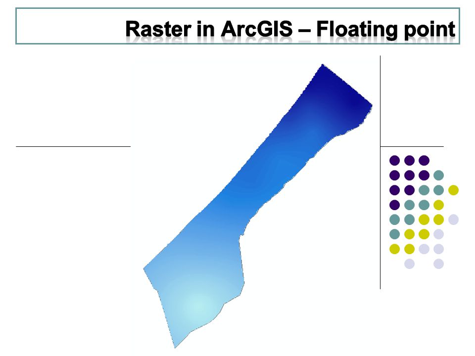
Cell Rows & Columns Regions Zones The composition of Raster Data

35
The Cell A square that represents specific portion of an area. its dimension is described by even pixels or dimensions. Its dimensions shall be fixed all over the data set. Every cell has a value.

36
Rows and Columns

37
Regions Connected Cells in Zones

38
Zones Connected or Disconnected Cells that have the same value

39
Geographic Phenomena Geographic Field Geographic Object Geographic Data Representation Tessellation Vector Spatial data types Content

40
We might define a geographic phenomenon as something of interest that : can be named or described, can be georeferenced and can be assigned a time (interval) at which it is/was present Relevant phenomena depends entirely on the purpose of GIS. Geographic Phenomena

41
Field Vs. Object Object Field

42
Field Vs. Object Geographic objects: populate the study area, and are usually well distinguishable, discrete, bounded entities. The space between them is potentially empty. Geographic field: is a geographic phenomenon for which, for every point in the study area, a value can be determined.

43
Field View Vs. Object View Examples: Object View: Trees, Houses, Streets. Field View: Elevation, Temperature, Rain Intensity. o General rule-of-thumb is that: 1)natural geographic phenomena are more often fields, and 2)man-made phenomena are more often objects.
natural geographic phenomena are more often fields, and 2)man-made phenomena are more often objects..")
57
Assignments 1) Prepare professional map, 2) Recharge map of Gaza strip, 3) Best site of landfill
 Prepare professional map, 2) Recharge map of Gaza strip, 3) Best site of landfill")
Similar presentations


 - 2 © Richard Haddlesey www.medievalarchitecture.net.>")


