Download presentation
Presentation is loading. Please wait.

1
The Geography of Europe Unit 3 Notes SS6G8 The student will locate selected features of Europe a. Locate on a world and regional political-physical map: the Danube River, Rhine River, English Channel, Mediterranean Sea, European Plain, the Alps, Pyrenees, Ural Mountains, Iberian Peninsula, and Scandinavian Peninsula

3
Satellite View of Europe

4
3,800 square miles

5
REGIONSREGIONSREGIONSREGIONS REGIONSREGIONSREGIONSREGIONS

6
Continents by Size (sq. km.) Asia44,579,000Africa30,065,000 North America 24,256,000 South America 17,819,000 Antarctica13,209,000 Europe Europe9,938,000 Oceania (incl. Australia) Oceania (incl. Australia) 7,687,000
 Asia44,579,000Africa30,065,000 North America 24,256,000 South America 17,819,000 Antarctica13,209,000 Europe Europe9,938,000 Oceania (incl. Australia) Oceania (incl. Australia) 7,687,000.")
8
Rhine River Longest river in Germany An important waterway for trade Begins in Switzerland, winds through Germany, France, Luxembourg, & The Netherlands

12
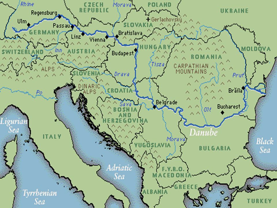
Danube River 2 nd largest river in Europe (Volga is first) Flows through the 12 countries of Germany, Austria, Slovakia, Hungary, Serbia, Croatia, Bosnia and Herzegovina, Slovenia, Bulgaria, Romania, and the Ukraine! –1,770 miles long Played a vital role in the development of central Europe (trade & cultural diffusion)
.")
15
The English Channel Small body of water that separates England from France 350 miles long In the past, it was used as a good system of defense for England An important waterway for trade

18
Southern Peninsulas Iberian Peninsula Italian Peninsula Balkan Peninsula Crimean Peninsula

19
Iberian Peninsula The Pyrenees form the northern border 2nd largest peninsula in Europe Includes the countries of Spain & Portugal

21
Scandinavian Peninsula

22
Largest peninsula in Europe (1,150 miles long) Consists of Norway, Sweden, and the northern region of Finland Region is rich in timber, iron, & copper
 Consists of Norway, Sweden, and the northern region of Finland Region is rich in timber, iron, & copper")
24
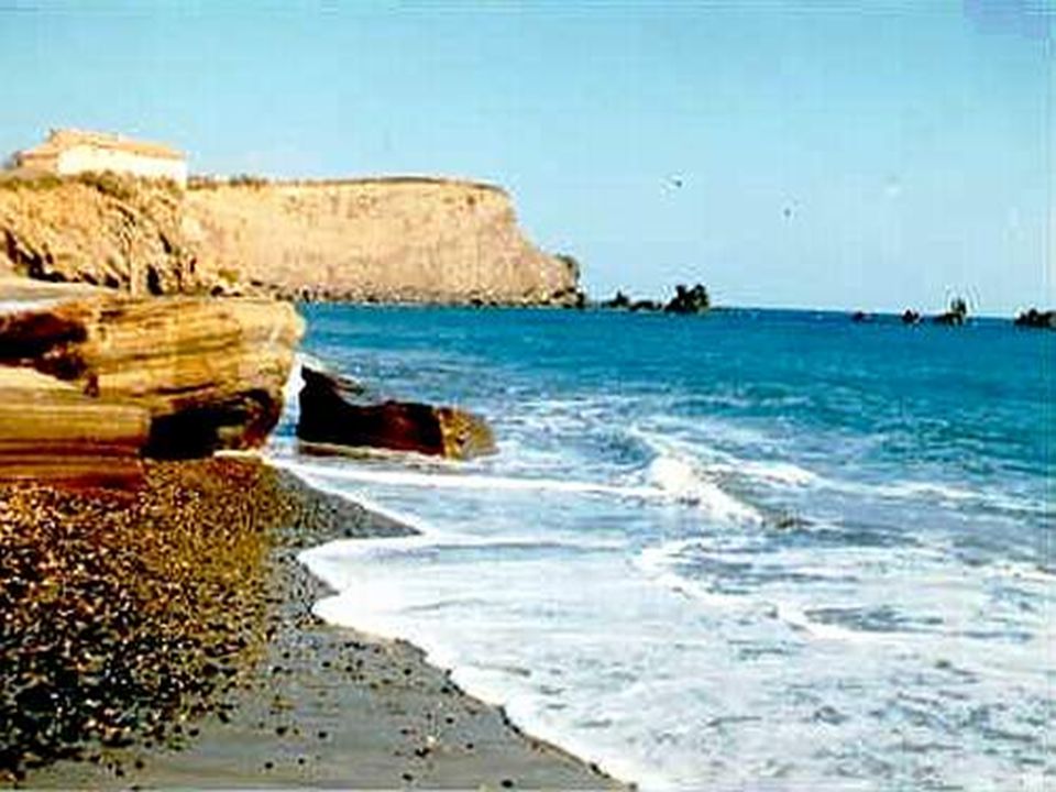
Mediterranean Sea Important route for trade & cultural exchange “Crossroads for 3 continents” (Europe, Africa, & Asia) Covers an area of 965,000 square miles Name means “in the middle of the earth” (surrounded by land)
 Covers an area of 965,000 square miles Name means in the middle of the earth (surrounded by land)")
29
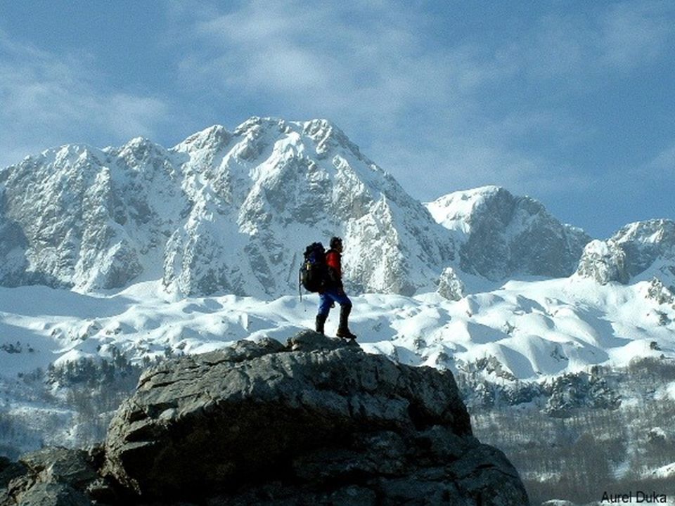
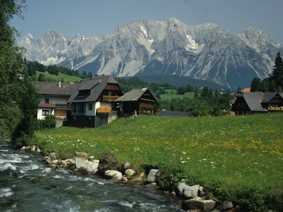
The Alps Located in Austria, France, Germany, Switzerland, Italy, Slovenia, & Liechtenstein Major tourist destination Extend for almost 700 miles!

31
Mt. Blanc in the Alps It’s the highest mountain in the Alps: 15,771 feet.

34
Pyrenees Mountains Form the natural border between France & Spain Extend for about 270 miles

37
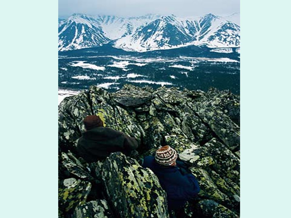
Ural Mountains Considered the natural boundary between Europe & Asia Divide Russia: 1/4 is in Europe, 3/4 is in Asia 1,500 miles long! Among the world’s OLDEST mountain ranges Huge deposits of gold, nickel, silver, platinum, coal, iron, & other minerals

38
Ural Mountains: “The Great Divide” It divides the European and Asian sections of Russia. 1500 miles

42
The European Plain Largest mountain-free landform in Europe Stretches from the Pyrenees in the west to the Ural Mountains in the east Extends 2,000 miles Successful agricultural area

43
European Plain

45
Northern European Plain

46
Credits Original presentation retrieved from www.Slideshare.net Sept 24, 2011. Modifications made by B. Morganwww.Slideshare.net Geography of the World: Europe: Land and Resources. Prod. Academic Media Network, Inc.. Academic Media Network, Inc., 2006. Discovery Education. Web. 7 October 2011.. Segments: Introduction; Countries, Peninsulas, Islands, and Rivers; Landforms

Similar presentations


 Locate on a world and regional political‐ physical map: the Danube River,>")


 Locate on a world and regional political‐ physical map: the Danube River,>")

