Download presentation
Presentation is loading. Please wait.

1
Why study aquatic ecology of the tropics?

7
Presence of wetlands Northern Canada/ Alaska Continental U.S.Equatorial Neotropics Number of wetland scientists Latitude distribution of wetlands based on Matthews and Fung (1987), global lakes and wetlands database (GLWD), and gross wetland map (redrawn from Lehner and Doll 2004)
, global lakes and wetlands database (GLWD), and gross wetland map (redrawn from Lehner and Doll 2004)")
8
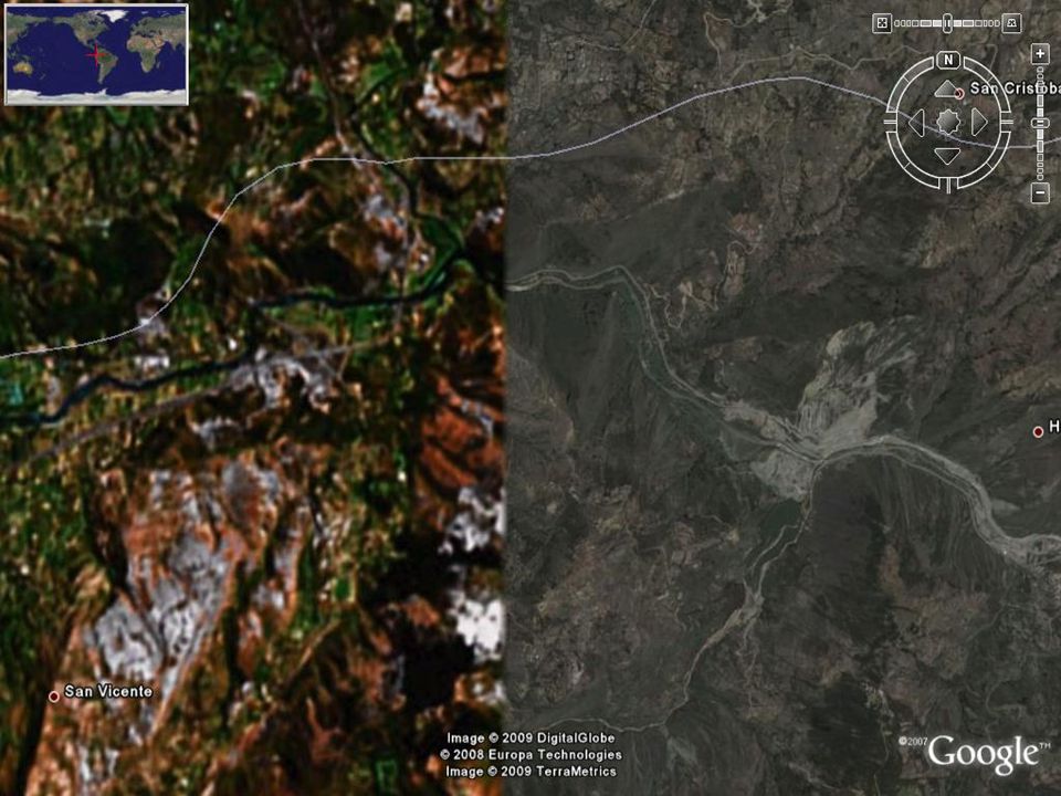
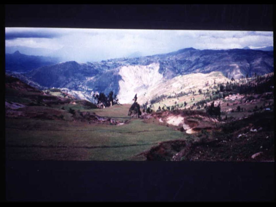
Cuenca, Ecuador

12
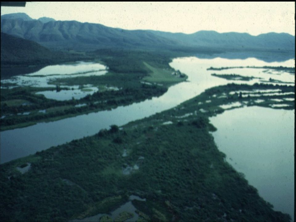
Lago de Josephina

14
Lago de Josefina, Cuenca, Ecuador

16
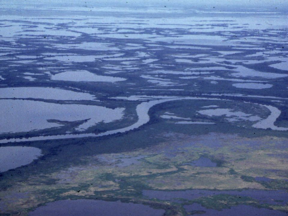
Paraguay River Drainage Basin Pantanal

17
The Pantanal 140,000 km 2 of seasonally inundated floodplain West Central Brazil, Bolivia, Paraguay Ecological sub-regions: - - river corridors - gallery forests - - perennial wetlands and lakes - - seasonally inundated grasslands - - terrestrial forests Flora influenced by: - - cerrado (central Brazil) - - chaco (Bolivia, Paraguay) - - Amazon
 - - chaco (Bolivia, Paraguay) - - Amazon")
18
minimum maximum Source: Ponce 1995 Paraguay River at Ladario: Recorded seasonal max and min stages Stage (cm)
")
22
Caiman yacare

23
Capped Heron: Pilherodius pileatus

24
Southern Screamer: Chauna torquata

25
Jabiru: Jabiru mycteria

26
Turquoise-fronted Parrot: Amazona a. aestiva

27
Hyacinth Macaw Anodorhynchus hyacinthinus

28
White-faced Capuchin: Cebus capucinus (not in Pantanal)
")
29
Piranha: Serrasalmus spiropleura

32
Water hyacinth: Eichhornia crassipes Giant water lily: Victoria amazonica

33
Rooted water hyacinth: Eichhornia azurea

34
Cambara: Vochysia divergens

35
Environmental Threats in the Pantanal Agricultural development Mining Urban waste Navigation projects Poaching Tourism growth

42
Venha conhecer o maior e melhor hotel do Pantanal!

43
Paraguay-Paraná Hidrovía Would make the 3,440 km Paraguay-Paraná river system navigable year-round from Nueva Palmira (Uruguay) to Cáceres (Brazil). Would improve or construct the infrastructure needed to service the increased shipping capacity.

45
Timeline A channelized waterway into the heart of South America is an old idea and the Paraguay-Paraná have been navigated for many decades. Late 1980s: Intergovernmental Committee on the Hidrovía created to oversee the development of this waterway. 1990: Publication of an economic feasibility study. 1995-1997: Engineering, economic, and environmental assessments of the proposed project. 1990s: Cost-benefit “disputes”. 1998: Brazil halts plans for construction activities along the Brazilian portion of the waterway. Since 2000: Fate of Hidrovía remains uncertain and new plans are underway.

47
Remnant river channel Channelized system Source: South Florida Water Management District

49
Fortney et al. 2004

50
Sources: Schaller (1983), Hamilton (1999), Fortney and Gottgens (2005) Stage (m) Fazenda IpirangaFazenda Acurizal 4.0 4.5 5.0 5.5 6.0 0 10 20 30 JanMarMayJulSepNov 3.0 4.0 5.0 6.0 7.0 0 5 10 15 20 JanMarMayJulSepNov Precipitation (cm)
, Hamilton (1999), Fortney and Gottgens (2005) Stage (m) Fazenda IpirangaFazenda Acurizal JanMarMayJulSepNov JanMarMayJulSepNov Precipitation (cm)")
51
Flooded area (km 2 ) at low water No changeStage decrease of 10 cm Stage decrease of 25 cm Northern Pantanal (3 subregions) 8075 6887 (15%) 4782 (41%) Total Pantanal (8 subregions) 1221910785 (12%) 8385 (31%) [Data from Hamilton, 1999] Lateral Flood Pulse
![Flooded area (km 2 ) at low water No changeStage decrease of 10 cm Stage decrease of 25 cm Northern Pantanal (3 subregions) (15%) 4782 (41%) Total Pantanal (8 subregions) (12%) 8385 (31%) [Data from Hamilton, 1999] Lateral Flood Pulse](http://images.slideplayer.com/14/4240419/slides/slide_51.jpg "Flooded area (km 2 ) at low water No changeStage decrease of 10 cm Stage decrease of 25 cm Northern Pantanal (3 subregions) (15%) 4782 (41%) Total Pantanal (8 subregions) (12%) 8385 (31%) [Data from Hamilton, 1999] Lateral Flood Pulse")
54
Monthly distributions of annual flood peaks Source: Ponce (1995) Longitudinal Flood Pulse
 Longitudinal Flood Pulse")
55
Economic benefits Environmental benefits Sustainable development ? ?

58
BioScience, 2001

Similar presentations


 More Latin American Geography. COUNTRY LOCATION CLIMATE NATURAL RESOURCES Mexico South of USA; between the Pacific ocean & the Gulf of Mexico Many.>")

