Download presentation
Presentation is loading. Please wait.

1
Sailing Weather Penny Tranter 1 February 2015 PowerPoint guidelines.
Our refreshed PowerPoint style matches our refreshed corporate values. These guidelines ensure we achieve consistent, professional-looking presentations. Font: Arial only Bullets: Arial round Front page slide Headline text point size 53 Subtitle text point size 20 Presenter, location and date point size 12 Divider slides Should be used to break up subjects or when changing content Headline text point size 40 Content slides Headline text size: minimum 40 First Level Bullet Points 24 Subsequent Level; Bullet Points 20 Body text size: minimum 16 Printing Please select greyscale when printing, this will remove the backgrounds and save on ink. Colour Web safe green #CFF33 (R204, G255, B51), can be used to highlight important words or phrases. Web safe red #ED2939 (R237, G41, B57), can be used to highlight severe weather warnings Campaign presentations If your presentation is part of a campaign or event then please ask the studio for assistance Sailing Weather Penny Tranter February 2015 © Crown copyright 2009
, can be used to highlight important words or phrases. Web safe red #ED2939 (R237, G41, B57), can be used to highlight severe weather warnings. Campaign presentations. If your presentation is part of a campaign or event then please ask the studio for assistance. Sailing Weather. Penny Tranter 1 February © Crown copyright")
2
Weather and Climate © Crown copyright 2009

3
The difference between ‘weather’ and ‘climate’?
Weather is the state of the atmosphere at a particular place and time Climate is the average weather condition of a particular part of the world (often over many decades)
")
4
Warm air (holds more water)
Cool air (holds less water) Up and down Warm air (holds more water) Ascending air where the Ferrel and Polar Cells meet results in low pressure. Ascent of warm air also gives rise to the slack equatorial low pressure belt. There are two main areas of rising air: in the tropics and along the Polar Front. As may be expected, it is in these areas that the greatest average rainfall occurs. There are two main compensating areas of descending air: in polar regions and subtropical regions. These give rise to the subtropical and polar high pressure areas and precipitation amounts are relatively small. The major deserts of the world are found in the subtropical high pressure belt and the polar regions are also rather dry; they do not appear so because evaporation rates are very low and any precipitation remains on the ground for a long time.
 Up and down. Warm air (holds more water) Ascending air where the Ferrel and Polar Cells meet results in low pressure. Ascent of warm air also gives rise to the slack equatorial low pressure belt. There are two main areas of rising air: in the tropics and along the Polar Front. As may be expected, it is in these areas that the greatest average rainfall occurs. There are two main compensating areas of descending air: in polar regions and subtropical regions. These give rise to the subtropical and polar high pressure areas and precipitation amounts are relatively small. The major deserts of the world are found in the subtropical high pressure belt and the polar regions are also rather dry; they do not appear so because evaporation rates are very low and any precipitation remains on the ground for a long time.")
5
Water condenses out as cloud/rain
Cool air (holds less water) Up and down Warm air (holds more water) Water condenses out as cloud/rain Ascending air where the Ferrel and Polar Cells meet results in low pressure. Ascent of warm air also gives rise to the slack equatorial low pressure belt. There are two main areas of rising air: in the tropics and along the Polar Front. As may be expected, it is in these areas that the greatest average rainfall occurs. There are two main compensating areas of descending air: in polar regions and subtropical regions. These give rise to the subtropical and polar high pressure areas and precipitation amounts are relatively small. The major deserts of the world are found in the subtropical high pressure belt and the polar regions are also rather dry; they do not appear so because evaporation rates are very low and any precipitation remains on the ground for a long time.
 Up and down. Warm air (holds more water) Water condenses out as cloud/rain. Ascending air where the Ferrel and Polar Cells meet results in low pressure. Ascent of warm air also gives rise to the slack equatorial low pressure belt. There are two main areas of rising air: in the tropics and along the Polar Front. As may be expected, it is in these areas that the greatest average rainfall occurs. There are two main compensating areas of descending air: in polar regions and subtropical regions. These give rise to the subtropical and polar high pressure areas and precipitation amounts are relatively small. The major deserts of the world are found in the subtropical high pressure belt and the polar regions are also rather dry; they do not appear so because evaporation rates are very low and any precipitation remains on the ground for a long time.")
6
Low pressure High Pressure
Up and down Ascending air where the Ferrel and Polar Cells meet results in low pressure. Ascent of warm air also gives rise to the slack equatorial low pressure belt. There are two main areas of rising air: in the tropics and along the Polar Front. As may be expected, it is in these areas that the greatest average rainfall occurs. There are two main compensating areas of descending air: in polar regions and subtropical regions. These give rise to the subtropical and polar high pressure areas and precipitation amounts are relatively small. The major deserts of the world are found in the subtropical high pressure belt and the polar regions are also rather dry; they do not appear so because evaporation rates are very low and any precipitation remains on the ground for a long time. Low pressure High Pressure

7
Climate zones Polar jet stream – cold air to north, warm air to south
Climate - the average weather conditions of a particular part of the world Polar jet stream – cold air to north, warm air to south polar cell Cold and dry tropical cell High pressure Changeable – often wet Low pressure 60° equatorial cell Hot and dry High pressure 30° Hot, showers & thunderstorms Low pressure

8
Airmasses © Crown copyright 2009

9
Airmasses need to sit quietly for a long time over a large area to develop…under high pressure
Airmasses are characterised by temperature and moisture content Cold areas lead to cold airmasses Warm areas lead to warm airmasses Development over oceans leads to moist airmasses Development over land lead to dry airmasses What about our area (mid-latitudes)? Not suitable, too much movement ie low pressure areas © Crown copyright 2009
 Not suitable, too much movement ie low pressure. areas. © Crown copyright")
10
Four types of source region
Warm and moist - Tropical oceans Known as Tropical maritime Warm and dry - Desert regions Known as Tropical Continental Cold and moist – Arctic/Atlantic ocean Known as Polar Maritime Cold and dry - Canada and Siberia Known as Polar Continental © Crown copyright 2009

11
Source regions Siberia? Dry, Warm in summer but Cold in winter
Warm and moist – Tropical Atlantic Cold and moist – Arctic Ocean Warm and Dry – North Africa © Crown copyright 2009

12
British Isles Airmasses
Arctic Maritime Polar Maritime Returning Polar Maritime Polar Continental Tropical Maritime Tropical Continental © Crown copyright 2009

13
Weather and wind direction
NORTH cold and showery NORTH-WEST cloudy and showery NORTH-EAST cold and showery WEST cloudy EAST cold and dry (winter) Warm and dry (summer) SOUTH-WEST warm and cloudy SOUTH-EAST warm and dry SOUTH warm and dry © Crown copyright 2009
 Warm and dry (summer) SOUTH-WEST. warm and. cloudy. SOUTH-EAST. warm and dry. SOUTH. warm and dry. © Crown copyright")
14
Clouds

15
CLOUDS What are they made of and what can they tell us about the weather? 10 basic types – split into 3 categories Categories are high, medium and low

16
LOW CLOUDS - Cumulonimbus
Very high and large heaped cloud – water at bottom and ice at top Characteristic anvil shape to the top Most dangerous cloud for anyone who works or is active outdoors Source of heavy showers, thunderstorms, tornadoes and hail

17
Clouds and low pressure systems

18
Climate zones Air descending down through the atmosphere usually results in dry, settled conditions over the Earth’s surface Air rising upwards through the atmosphere leads to disturbed weather, bringing rain

19
Which way is the low pressure and its fronts moving?
Cold polar air Warm tropical air ONLY direction of movement determines the type of front

20
Warm air moving north/east
Polar air Tropical air Cirrus Cirrostratus Nimbostratus Altostratus/Altocumulus height Cumulus Stratus km miles Equator N. Pole

21
“Ring around the moon … rain soon”
“Mackerel skies and mares’ tails make tall ships carry low sails”

22
A warm front passes Cool air Warm air

23
Cold air moving south/east
Polar air Tropical air height Cumulus Cumulonimbus Nimbostratus Cumulonimbus Cirrus Stratus km miles N. Pole Equator

24
One last thing… Occluded fronts Warm Cold Cool Occlusion hidden
© Crown copyright 2009

25
Development of an occluding depression
Life cycle of a weather system Development of an occluding depression © Crown copyright 2009

26
Fronts are … usually associated with a band of thick cloud and rain
a change of air mass / weather conditions a warm front marks a change from cool, dry air to warm, moist air a cold front marks a change from warm, moist air to cold, dry air showers often happen after a cold front has passed © Crown copyright 2009

27
Barometric pressure and winds
© Crown copyright 2009

28
Beaufort Scale and its meaning
Force 4 seen as limit of safety for many sailing boats and motor boats Force 6 known as the ‘yachtsman’s gale’ Force 8 usually when the wind starts to become a hazard for commercial shipping © Crown copyright 2009

29
Changes in barometric pressure
Fall or rise 8mb in 3 hours almost certainly a Force 8 will follow 5mb in 3 hours almost certainly a Force 6 will follow if Force 3 or less when you see this – you have about 4 to 8 hours notice Not the time to be caught on a ‘lee’ shore – eg a southerly on the south coast! 1 or few mb erratic indicative of squall lines, sudden change strong gusts or lulls with dark thunderclouds © Crown copyright 2009

30
Weather bomb! The scientific term for a weather bomb is an ‘explosive deepening’ The phenomenon happens in a rapidly deepening area of low pressure and is characterised by a decrease in atmospheric pressure of at least 24 millibars in 24 hours The lower the pressure, the stronger the winds become. A Scottish storm which had a drop of 44mb - gusts of 165mph were recorded over the Highlands The North Atlantic is particularly prone to weather bombs thanks to the Gulf Stream, which pits a reliable source of warm air against cold air © Crown copyright 2009

31
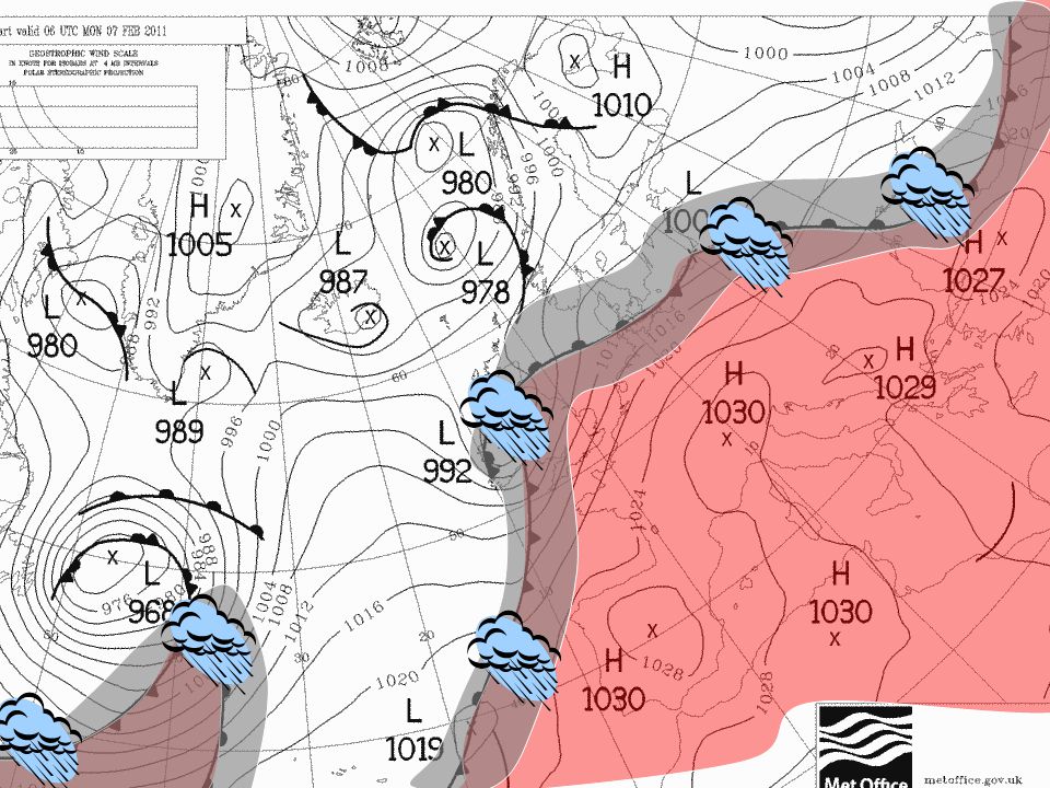
Analysis and forecast chart interpretation
© Crown copyright 2009

34
Analysis and forecast charts
What actually happened The analysis chart is produced for 00Z, 06Z, 12Z and 18Z A combination of actual data, NWP (numerical weather prediction) data and human analysis © Crown copyright 2009
 data and human analysis. © Crown copyright")
35
Isobars Lines joining points of equal mean sea level pressure
Average pressure in UK ~ 1013 hPa Unusual to be above 1050 or below 950 hPa Used to identify wind speeds/directions anticyclones (highs) depressions (lows) troughs ridges cols © Crown copyright 2009
 depressions (lows) troughs. ridges. cols. © Crown copyright")
36
Warm air Cold air Cold air Warm air Warm air © Crown copyright 2009

37
© Crown copyright 2009

38
Winds and weather © Crown copyright 2009

39
Wind direction The direction that the wind is blowing from eg a northerly wind is coming from the north Most common direction in southern England is a south westerly

40
Wind direction Backing/turning left – an anti-clockwise change in direction eg from N to NW through NNW Veering/turning right – a clockwise change in direction eg from N to NE through NNE

41
Which way do the winds blow?
© Crown copyright 2009

42
Depressions, lows, cyclones
Winds blow anti-clockwise around a low (in the northern hemisphere) Depressions are associated with unsettled weather Air is generally rising Rising motion generates cloud and precipitation Often fronts are associated with low pressure © Crown copyright 2009
 Depressions are associated with unsettled weather. Air is generally rising. Rising motion generates cloud and precipitation. Often fronts are associated with low pressure. © Crown copyright")
43
Winds around low pressure
Buys-Ballot law – when you are standing with your back to the wind the area of low pressure is on your left (in the Northern Hemisphere) Around a low pressure area winds go in an anti-clockwise direction (in the Northern Hemisphere)
 Around a low pressure area winds go in an anti-clockwise direction (in the Northern Hemisphere)")
44
Highs, anticyclones Winds blow clockwise around a high (in the northern hemisphere) Anticyclones are associated with settled weather Air is generally sinking Sinking motion causes clouds to disperse In summer: fine weather In winter: fog/frost © Crown copyright 2009

45
Wind speed - closer the isobars the stronger the wind
© Crown copyright 2009

46
Wind - Channelling Gaps in barrier strengthen wind flow e.g. Strait of Dover, Central Scotland © Crown copyright 2009

47
Forth Road Bridge - Channelling example
W’ly Winds strengthen © Crown copyright 2009

48
Coasts © Crown copyright Met Office © Crown copyright 2009 48

49
Sea breezes Land Sea A simple view
Land heats up quicker than the sea – air expands and rises Circulation develops Land Sea © Crown copyright 2009

50
Sea breeze effects Exeter Torquay
Coasts are usually sunnier than inland! The Sea Breeze Sea breeze effects Exeter Torquay © Crown copyright Met Office © Crown copyright 2009

51
Sea Breeze Front Convergence zone/sea breeze front is generated when warm air from land meets cool air from sea If Humid and unstable – can trigger thunderstorms – often seen near the English south coast – but not right on the beach! Cornwall can have at least 2 sea-breezes meet and converge on A30 – cloud and rain. Gliders use them very effectively © Crown copyright 2009

52
Any questions? © Crown copyright 2009

Similar presentations


 Changes in weather are caused by movements of air masses As an air mass moves away, temp & humidity.>")


