Download presentation
Presentation is loading. Please wait.

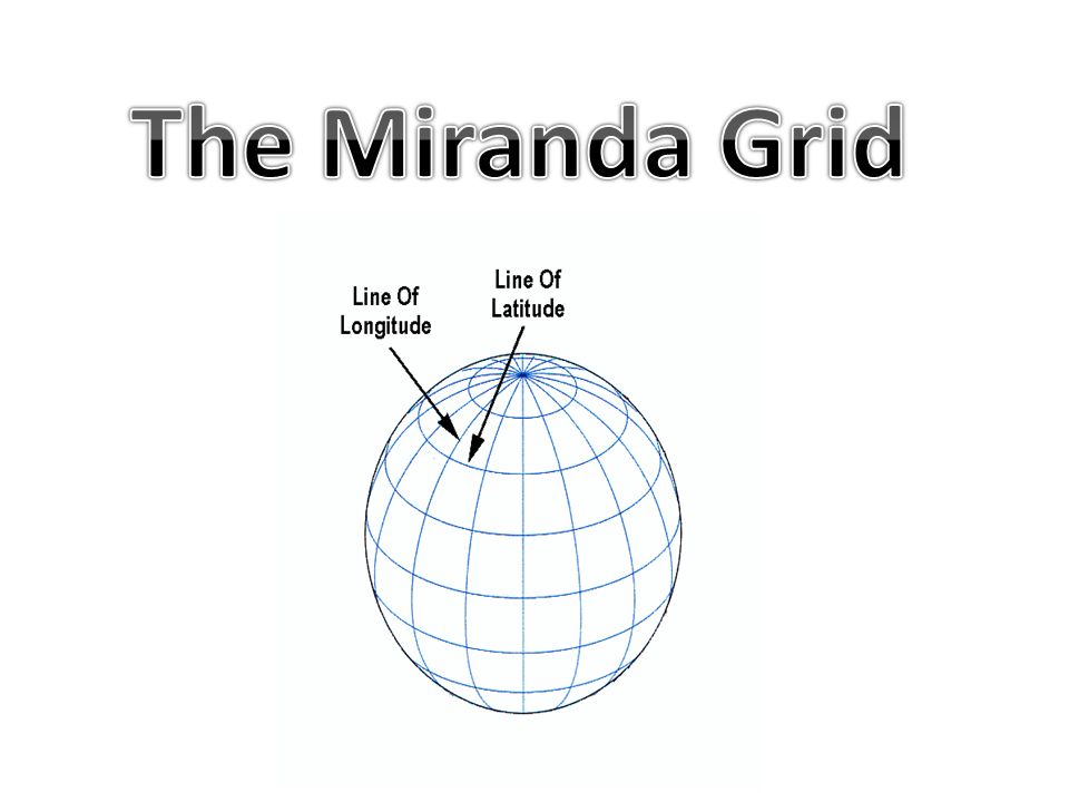
2
WASHINGTON Atlas - Page 60

3
North (top) – 50N South (bottom) – 45N
 – 50N South (bottom) – 45N")
4
West (left) – 125W East (right) – 115W
 – 125W East (right) – 115W")
5
125W115W 50N 45N

6
125W 115W 50N 45N WA On your paper, count 4 lines or 5 lines for your grid. Make them no smaller than 4 lines and no larger than 5 lines!!

7
LAT – 50N, 45N LON – 125W, 115W Washington You will use THREE lines for the linear version!

8
Remember This Information for Your Miranda Grid … If the Latitude of Longitude line is on the border, it is IN the country or state. Go to the next one line. Use only Latitude and Longitude measurements that end in 0 or 5. Don’t use 71N. Go to the next line – 75N.

9
1.Mississippi 2.Delaware 3.New Mexico 4.Wyoming 5.Indiana LA – 40N, 30N // LO – 95W, 85W LA – 40N, 35N // LO – 80W, 75W LA – 40N, 30N // LO – 110W, 100W LA – 50N, 40N // LO – 115W, 100W LA – 45N, 35N // 90W, 80W

Similar presentations


 Mrs. Benedetto’s 4 th Grade Social Studies.>")
