Download presentation
Presentation is loading. Please wait.

2
What is the following picture?

3
Pacific Plate North American Plate

4
Earths Plates Separated by faults Fault – a break or crack in Earth’s crust along which movement occurs Frequented by earthquakes and volcanos 3 boundary types Transform Divergent Convergent

5
The Crust is broken into plates.

6
How many plates? 1. Eurasian 2. Indian 3. Pacific 4. Philippine 5. Cocos 6. Nazca 7. Antarctic 8. North American 9. South American 10. Caribbean 11. African 12. Arabian 13. Juan de Fuca 14. Scotia 15. Fiji 16. Austrailian

7
What the plates are made of. Primarily Igneous rock. Granite –continental crust- continents- Less dense Basalt- oceanic crust- ocean floor. More dense

8
Transform Boundary A place where crust is neither created or destroyed Plates slip by each other Plates move in opposite directions Frequented by numerous Earthquakes.

9
Divergent Boundaries Place where two plate move apart Most occur at mid-ocean ridges Primarily responsible for sea-floor spreading Rift valley – divergent plate movement that occurs on land by the pulling apart of a continent.

10
Divergent Boundaries: & Rift valleys Mid-Ocean Ridge

11
Rift valleys form from forces underneath.

12
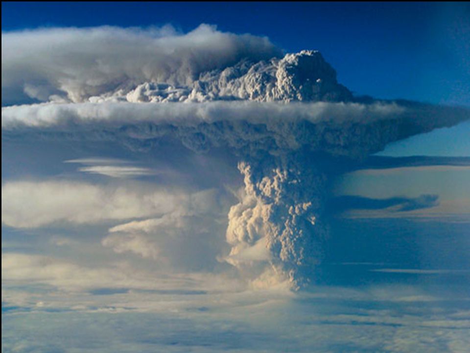
Convergent Boundaries Where two or more plates move toward each other Results is a collision 3 Types Oceanic with continental crust Continental with continental crust Oceanic with oceanic crust

13
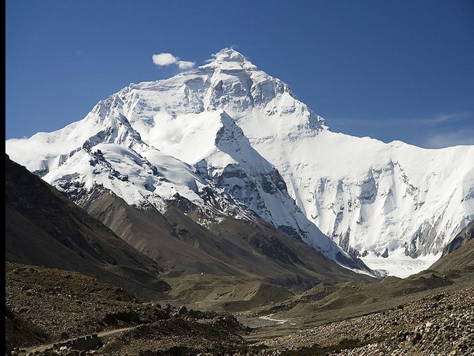
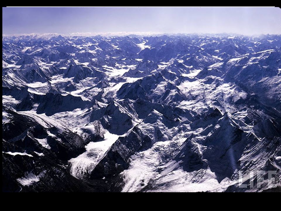
Convergent Boundaries Continental with Continental Results in Mountain building Himalayas Mountains – collision of Indian and Eurasian Plates.

17
Convergent Boundaries Oceanic w/ Continental Results in Subduction – converging boundary where one plate is plunging under another plate Trench forms at boundary between the two and volcanic mountains http://www.youtube.com/watch?v=wkc4lbh hSRs

20
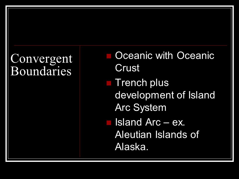
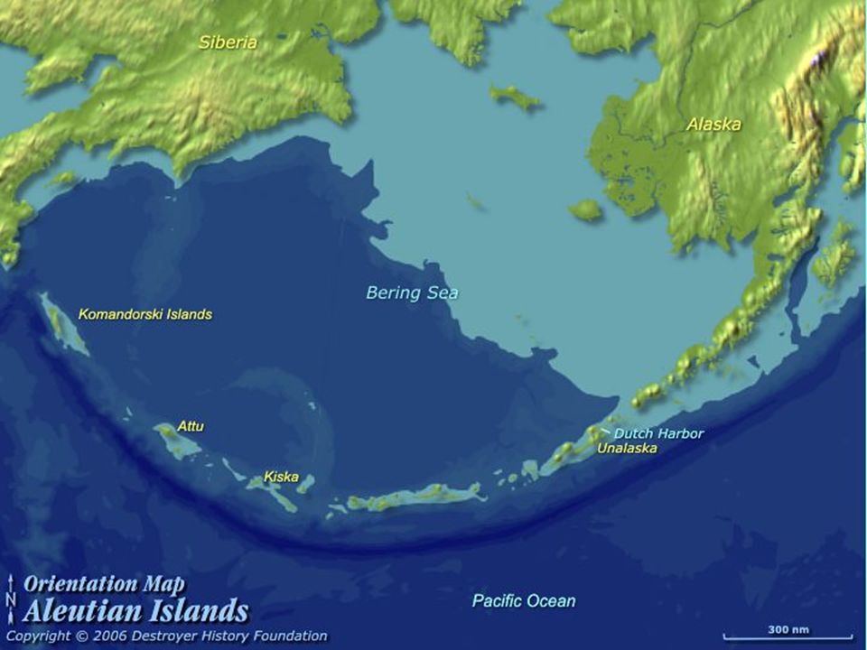
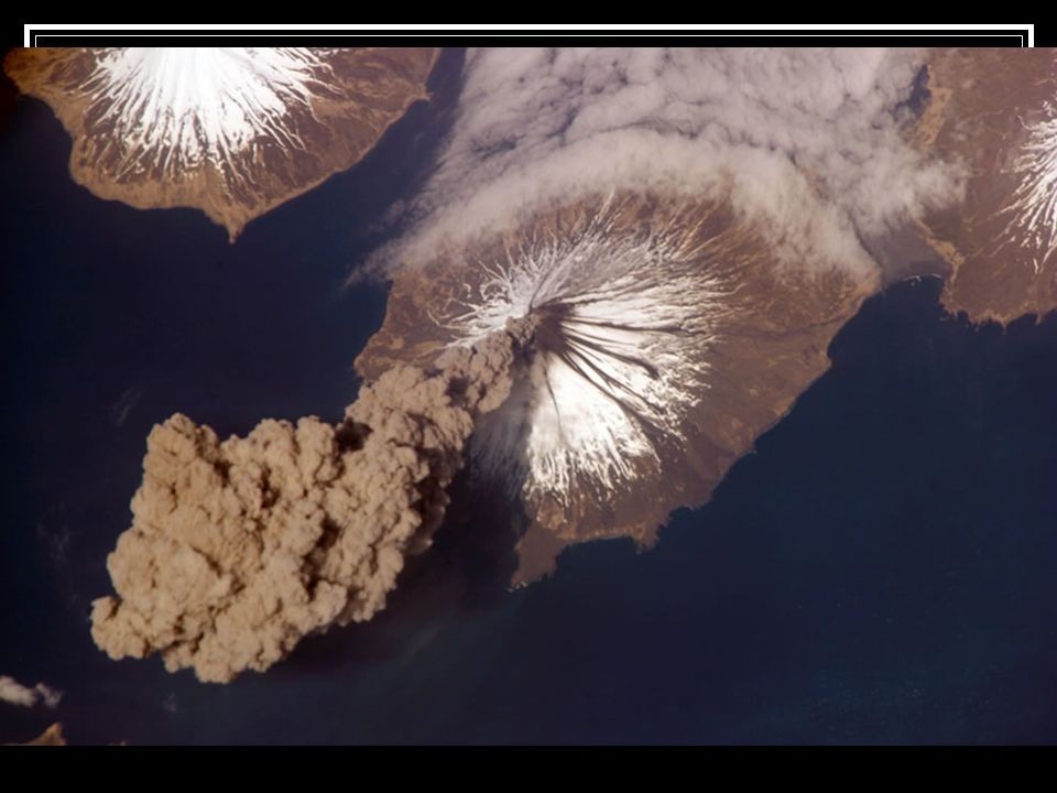
Convergent Boundaries Oceanic with Oceanic Crust Trench plus development of Island Arc System Island Arc – ex. Aleutian Islands of Alaska.

24
Earth’s Lithospheric Plates Activity. Handout Directions and map Pg 233 Black Text or Pg 151 Red text.

Similar presentations