Download presentation
Presentation is loading. Please wait.

1
5.2 Weather Patterns Pages 173-177

2
Pressure Systems Air pressure is the force of air on the surface. Air Pressure is greatest near Earth’s surface and decreases as altitude increases. High air pressure always moves toward areas of Low Pressure Hot Air Rises Cold Air Sinks

3
High Pressure cold air from above sinks and creates a high pressure system on the ground low pressure is on either side of the HP HP moves toward LP and creates wind circulating clockwise

4
Brings sunny fair weather with light winds Represented on a weather map as a blue H

5
Low Pressure warm air on the ground forms a low pressure system with high pressure on either side HP moves toward LP creating counter-clockwise winds the warm air rises, condenses and forms clouds

6
Brings stormy weather with strong winds Represented on a weather map as a red L

7
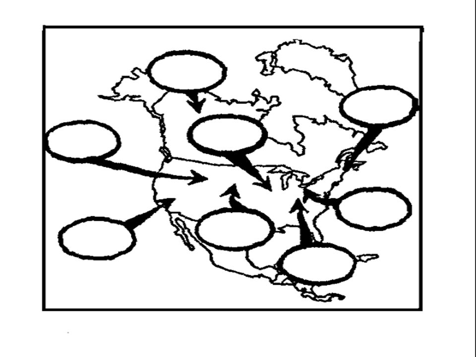
Air Masses large bodies of air that have a similar humidity (moisture), temperature and pressure (high)
, temperature and pressure (high)")
8
the air must remain above a high pressure system, known as a “source region” for at least a couple of days Source region is the location the air mass forms Ex. if an air mass forms over Canada, Canada is considered the source region

9
As the winds begin to move the air mass from it’s source region, it begins to bring the moisture and temperature to a new location

11
Naming Air Masses Air masses are given a two word name that describes it’s moisture and temperature

12
Moisture/Humidity (1 st word) continental (c) forms over land – dry maritime (m) forms over water – wet/humid/moist
 continental (c) forms over land – dry maritime (m) forms over water – wet/humid/moist")
13
Temperature (2 nd word) Tropical (T) forms in warmer regions, hot Polar – (P) forms in cold regions – cold Arctic – (A) forms in arctic regions- bitterly cold and dry
 Tropical (T) forms in warmer regions, hot Polar – (P) forms in cold regions – cold Arctic – (A) forms in arctic regions- bitterly cold and dry")
16
Weather Fronts A boundary between two different air masses, resulting in a change of weather Temperature, humidity, clouds, precipitation, and winds

17
Cold Front 1. cold air mass approaches a warm air mass 2. dense cold air moves under the warm lighter air and forces the warm air to rise 3.tall vertical clouds form which result in stormy weather and colder temperatures

18
A cold front is represented as a blue line with the triangles pointing toward the direction on movement.

19
Warm Front 1. a warm air mass approaches a cold air mass 2. less dense warm cannot move under the cold air so it slides over the top 3. produces clouds, precipitation, and warmer temperatures

20
A warm front is represented as a red line with half circles pointing toward the direction of movement.

21
Stationary Front 1. a cold and warm air mass meet and neither is strong enough to push ahead 2. it stalls over one location and brings days of precipitation along the front 3. it eventually moves and become a cold or warm front

22
A stationary front is represented as an alternating cold/warm front symbol pointing in the direction of each front.

23
High pressure Low pressure Air mass Source region Continental Maritime Polar Tropical Arctic Front Cold front Warm front Stationary front

Similar presentations