Download presentation
Presentation is loading. Please wait.

1
Geography of Latin America SS6G1ab The student will locate selected features of Latin America and the Caribbean. a. Locate on a world and regional political-physical map: Amazon River, Caribbean Sea, Gulf of Mexico, Pacific Ocean, Panama Canal, Andes Mountains, Sierra Madre Mountains, and Atacama Desert. b. Locate on a world and regional political-physical map the countries of Bolivia, Brazil, Colombia, Cuba, Haiti, Mexico, Panama, and Venezuela.

4
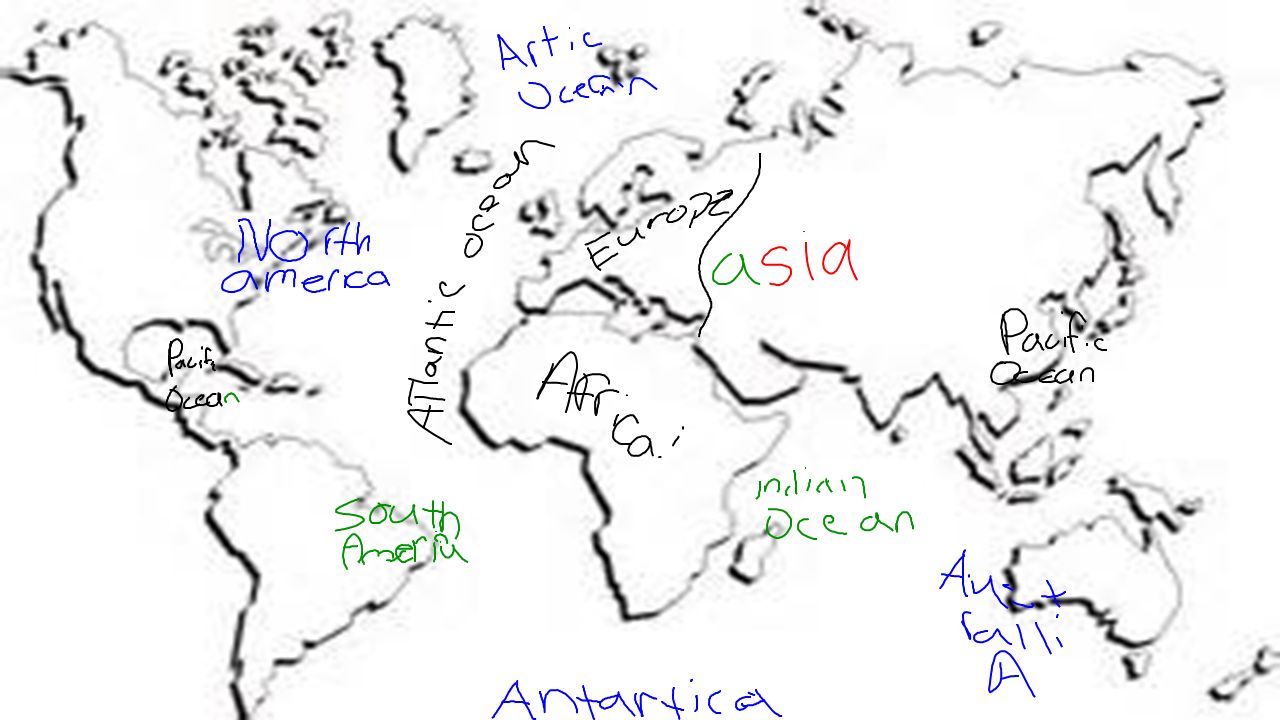
Latin America Includes: Caribbean Mexico Central America South America

5
Map Song http://www.youtube.com/watch?v=keGRszDVyDk http://www.youtube.com/watch?v=keGRszDVyDk (Sung to the tune of a song from Robin Hood—Disney version) Latin America Pacific Ocean, Mexico, Sierra Madre Mountains, the Gulf of Mexico is where the hurricanes blow! Panama has the canal, Colombia, Venezuela, Cuba, Haiti, share the Caribbean Sea. The Atacama desert, Andes Mountains, and Bolivia, the Amazon River runs across northern Brazil. And if you're ever on a boat and floating down the river, you'll go to the Atlantic where the Amazon ends!

6
FeatureLocationSignificance Amazon River Caribbean Sea Gulf of Mexico Pacific Ocean Panama Canal Andes Mtns. Sierra Madre Mtns. Atacama Desert

7
CountryLocation DescriptionInteresting Fact Bolivia Brazil Columbia Cuba Haiti Mexico Panama Venezuela

8
Atacama Desert Color in yellow or orange. See atlas pg. 79 for help.

9
Atacama Desert Located between the Pacific Ocean and the Andes Mountains in northern Chile. It is the driest place on earth! (Has never rained in some places!) Largest supply of nitrates on earth. (the sand mummifies/ concrete-like.) = 2 nd largest salt flats area in world. http://www.youtube.com/watch?v=uyKKlO50hMA *** http://www.youtube.com/watch?v=uyKKlO50hMA http://www.youtube.com/watch?v=WLN5uz42oos
 Largest supply of nitrates on earth. (the sand mummifies/ concrete-like.) = 2 nd largest salt flats area in world. v=uyKKlO50hMA *** v=uyKKlO50hMA v=WLN5uz42oos.")
10
Andes Mountains Color in brown. See atlas pg. 79 for help.

11
Andes Mountains The longest mountain range in South America. ”Backbone”.2 nd driest place on earth. Shields S. Am. From weather. Amazon River begins from glaciers here. Located in the western part of the continent, the mountains extend through the countries of Colombia, Venezuela, Ecuador, Peru, Bolivia, Chile, and Argentina. http://www.youtube.com/watch?v=XePpHMaIAOQ

Similar presentations


>")


