Download presentation
Presentation is loading. Please wait.

1
Python and GIS Brendan Duffy

4
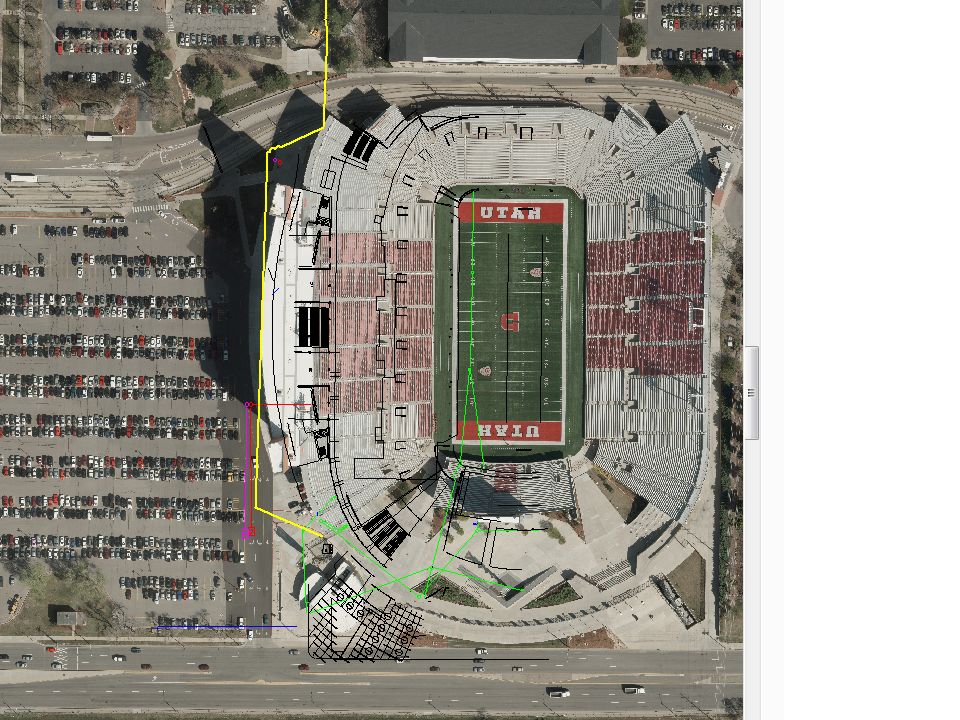
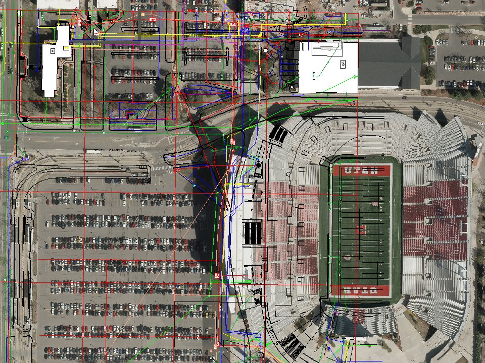
Background Utility data management for all new and existing construction/projects on campus is managed by the GIS department in Facilities Management. AutoCAD files(DWG’s) is the current format for project delivery method from contractors, project managers.
 is the current format for project delivery method from contractors, project managers..")
5
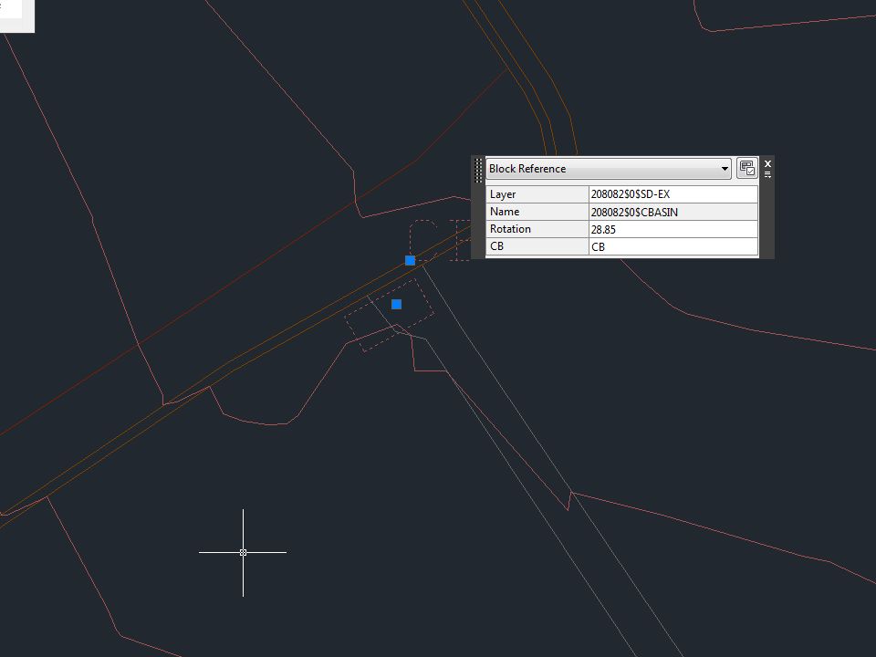
The Problem Not all DWG’s are created equal, there is no naming convention so layers in a DWG are all jumbled together. Sometimes a feature is in multiple layers making querying out specifics utilities from a drawing difficult.

11
Manually Fixing one DWG by hand takes about 2 hours this involved consolidating layers and renaming them.

17
Objective To create a program that copies a folder containing DWG files and removes funny characters from the drawing’s name and pulling out all the line work from each of the DWG files. Then storing the line work in a dataset inside a geodatabase that is created from this program. The file geodatabase needs to contain a custom projection to transform the drawings into UTM NAD83 N12. Once the File Geodatabase is created the copied folder needs to be deleted.

20
With this program it took.66 minutes to pull in the data from one DWG and about five minutes of manually fixing geometry to refine the line. It took 20 minutes to go through a folder of 30 DWG’s. One nice added benefit is all the line data we filter through can quickly be queried out by running the program once against all the DWG’s.

21
Time Savings

22
Future Goals This program has a limitation to only work with a folder containing DWG’s. I am currently working on adding functionality to grab only DWG’s in a folder and skipping the rest. Utilizing unique properties of each utility to further refine line features for example line sizes that are greater than 30 inches can only be storm water, the greatest line size of sewer is 16 inches.(Boolean logic)
.")
23
Questions?

Similar presentations


 for your survey area ► Open ArcToolbox ► Unzip the Digital Soil Survey – Pedon.>")

 732-7188 GIS and Mapping Procedures in ArcMap 9.x Creating an ArcMap Project Editing an ArcMap Project Printing an ArcMap Project.>")


