Download presentation
Presentation is loading. Please wait.

1
Web GIS & Semantic Web Services Vlad Tanasescu @ KMi for the the 2nd AKT DTA Symposium Aberdeen, UK, January 23, 2006 Supervision team: John Domingue, Enrico Motta Thanks to: DIP project, Jon Bryant (BT Research), Alessio Gugliotta (KMi)
, Alessio Gugliotta (KMi)")
2
GIS?

3
Geographical Information System

4
dedicated software for digitized geographical data Philippe Rigaux, Michel Scholl, and Agnes Voisard, Spatial Databases with Application to GIS, Morgan Kaufmann, 2002

10
A GIS is MORE than a mapping tool

11
SELECT C1.Name, R1.Name FROM City C1, River R1 WHERE Distance(C1.Shape,R1.Shape) <= ALL (SELECT Distance(C2.Shape) FROM City C2 WHERE C1.Name <> C2.Name)
 <= ALL (SELECT Distance(C2.Shape) FROM City C2 WHERE C1.Name <> C2.Name)")
12
Semantic Web Services?

13
The Semantic Web

14
Web (URI, HTML, HTTP) Web Services (UDDI, WSDL, SOAP, REST) Semantic Web (RDF, OWL) Semantic Web Services Dynamic Static SyntaxSemantics
 Web Services (UDDI, WSDL, SOAP, REST) Semantic Web (RDF, OWL) Semantic Web Services Dynamic Static SyntaxSemantics")
15
Objectives that a client wants to achieve by using Web Services Semantic description of Web Services: - Capability (functional) - Interfaces (usage) Provide the formally specified terminology of the information used by all other components Connectors between components with mediation facilities for handling heterogeneities WSMO MEDIATORS GOALS WEB SERVICESONTOLOGIES
 - Interfaces (usage) Provide the formally specified terminology of the information used by all other components Connectors between components with mediation facilities for handling heterogeneities WSMO MEDIATORS GOALS WEB SERVICESONTOLOGIES")
16
Client Services IRS-III

17
Web GIS?

18
NO… proprietary data multiple formats common user needs

19
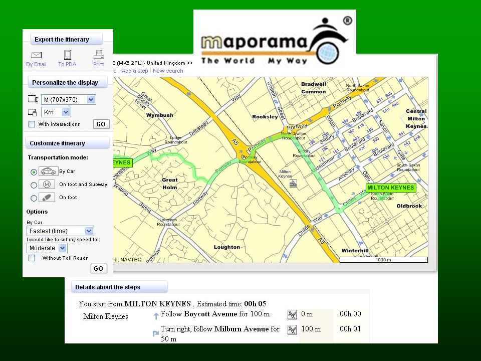
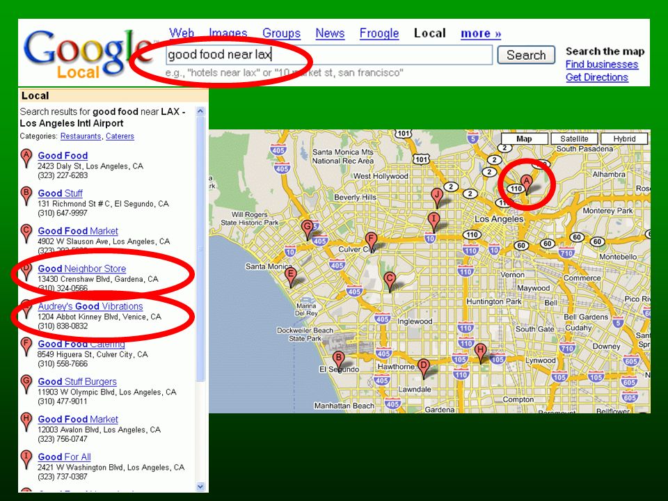
But lot of Web Maps!

22
Web Maps APIs: a revolution?

23
Quite!

26
Popularity?

28
Limits? data heterogeneity lack of semantics expressiveness

30
So? spatial ontologies semantic web services build a semantic web GIS

31
Spatial ontologies are… special

32
Objects vs Places vs Fields Boundaries as entities? Level of detail Naïve Geography etc

33
SGIS: a multi layer architecture

34
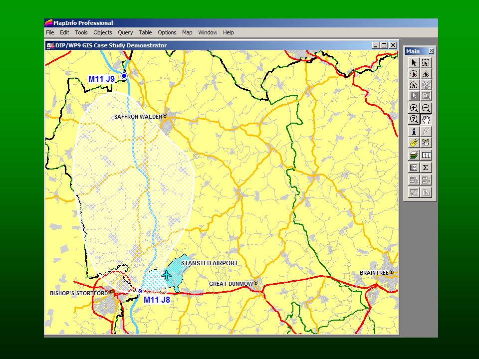
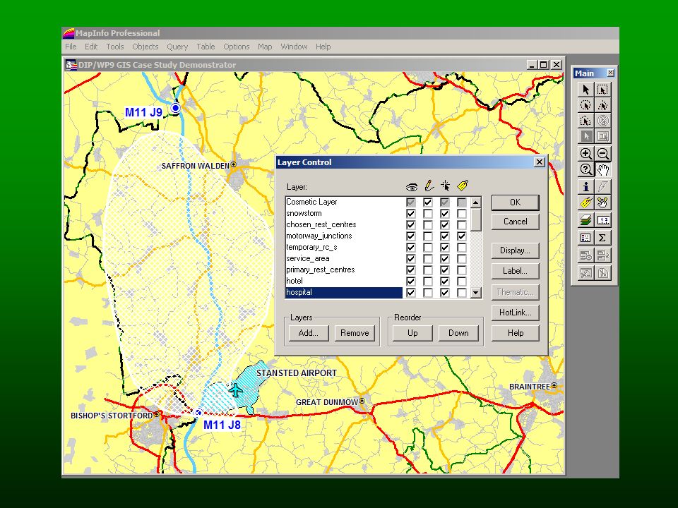
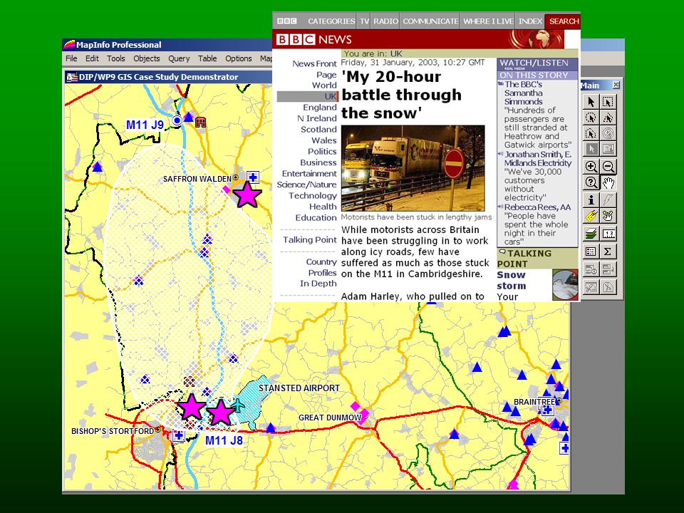
DIP WP9 Scenario: Snowstorm Emergency Planning

36
Capture user practices Goal oriented Weather spatial specifics Merge heterogeneous data etc

37
Weather Hazards Details Identify affected roads information Identify affected airport Information Identify suitable shelter and rest centres Identify locations of rescue options GOALS

38
WEB SERVICES

39
WEB FRONT-END

40
Thanks Again, also to: the DIP WP9 team, Jon Bryant (BT Research) and Alessio Gugliotta (KMi)
 and Alessio Gugliotta (KMi)")
Similar presentations


 & H. Liu (ASU) 1 6. Spatial Mining Spatial Data and Structures Images Spatial Mining Algorithms.>")


 An Enterprise GIS for The County of Los Angeles.>")


 Geography is the study of locational and spatial trends about the earth’s surface, the objects found on it, and the.>")
 COMP 4025 Dr. Michela Bertolotto Dept. of Computer Science, UCD Room B2.21,>")


