Download presentation
Presentation is loading. Please wait.

1
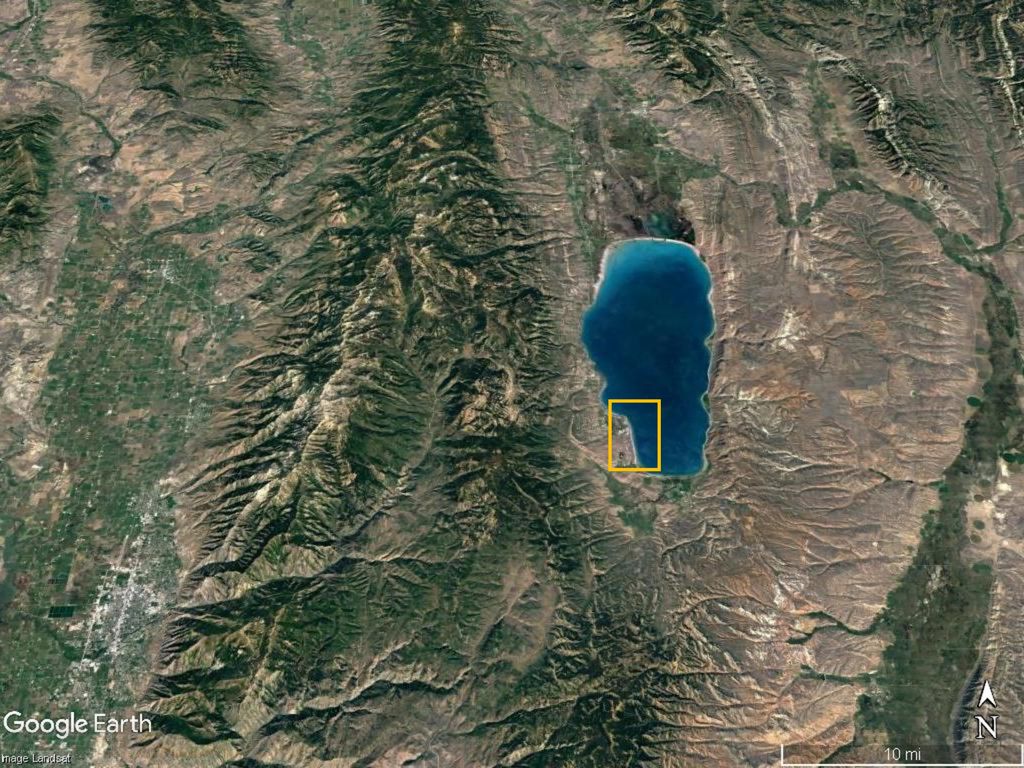
Lab 2-4 Surveying Bear Lake Shorelines

6
Geomorphologist’s Toolbox
Part I – Remote Sensing and Landsurface models

7
Field Surveying

8
Plane Table and Alidade

9
Total Station Survey

10
RTK – GPS ‘Real-time Kinematic GPS’
Base Rover

11
GPS – Global Positioning System

12
Active Remote Sensing

13
Light detection and Ranging
LiDAR Light detection and Ranging Airborne LiDAR Terrestrial LiDAR

14
San Andreas Fault – Arrowsmith et al.

15
LiDAR map of Oso landslide Washington 2014

16
InSAR – Interferometric Synthetic Aperture Radar
Use difference between Two SAR images to Detect land surface movement

17
Passive Remote Sensing

19
Multi-spectral and Hyper-spectral Imagery

20
DEM – Digital Elevation Models
1st – created from topographic maps

22
Geographical Information Systems (GIS)
Managing multi-layered and Three-dimensional data

Similar presentations


 Is a process whereby radar images of the same location on.>")


 and how do I use it?* A FIRM is a map created by the NFIP for floodplain.>")


 1.What's New -> Add anything that’s useful 2.Welcome -> still waiting for CSPRS 3.Committee -> TBA 4.Call for Papers 5.Abstract.>")
 Primary Data – data captured specifically.>")