Download presentation
Presentation is loading. Please wait.

1
Updated Cover Type Map of Cloquet Forestry Center For Continuous Forest Inventory

2
Introduction Cloquet Forestry Center founded in 1909 Carlton County 3,506 acres of land Continuous Forest Inventory (CFI) established in 1959 Conducted ever 5-10 years 402 permanent plots Tree-level measurements and observations
 established in 1959 Conducted ever 5-10 years 402 permanent plots Tree-level measurements and observations")
3
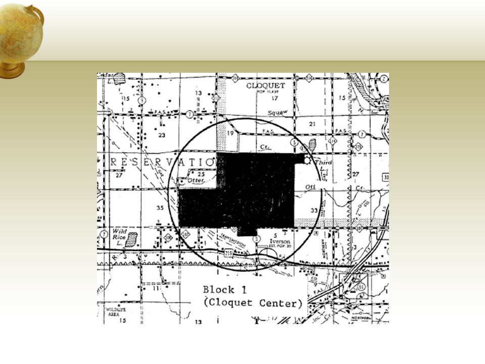
Location of Cloquet Forestry Center

5
Introduction (Contd..) Goals of Inventory: Demonstrate systematic random sampling with random starts Provide up-to-date inventory statistics for management purposes Examine techniques for surveying mortality and related forest characteristics Contrast estimates obtained from fixed and variable radius plots
 Goals of Inventory: Demonstrate systematic random sampling with random starts Provide up-to-date inventory statistics for management purposes Examine techniques for surveying mortality and related forest characteristics Contrast estimates obtained from fixed and variable radius plots")
6
Introduction (Contd..) Why Continuous Forest Inventory? Assess management schemes over time Adapt management based on inventory findings Identify trends throughout time Create models to predict future changes in forests

7
Objective Develop an updated cover type map of Cloquet Forestry Center using eCognition Enhance understanding of continuous forest inventory Aid in field measurement acquisition

8
Data Sources Detailed satellite imagery of Cloquet Forestry Center were obtained from: Light Detection and Ranging (LiDAR) 2011 Minnesota Geospatial Information Office National Agricultural Imagery Program (NAIP) 2013 National Association of Regional Councils’ Geospatial Data Gateway 1 meter resolution 4 band; Red,Green, Blue, Near Infrared (USDA, 2013)
 2011 Minnesota Geospatial Information Office National Agricultural Imagery Program (NAIP) 2013 National Association of Regional Councils’ Geospatial Data Gateway 1 meter resolution 4 band; Red,Green, Blue, Near Infrared (USDA, 2013)")
9
Data Sources (Contd..) Color InfraRed (CIR) MnGEO NAIP Imagery WebService CFC Stand boundary layer 2005 vegetation mapping effort at CFC Roads layer and xy-coordinate of CFI plots
 Color InfraRed (CIR) MnGEO NAIP Imagery WebService CFC Stand boundary layer 2005 vegetation mapping effort at CFC Roads layer and xy-coordinate of CFI plots")
10
Methods Object Based Image Analysis was done to create an updated map of Cloquet Forestry Center NAIP 2013 imagery was used to derive the Normalized Difference Vegetation Index (NDVI) NDVI was calculated using the equation (NIR-Red)/(NIR+Red) in eCognition LiDAR 2011 was used to create Digital Elevation Model (DEM), Digital Surface Model (DSM) and Normalized Digital Surface Model (nDSM) from LiDAR data
 NDVI was calculated using the equation (NIR-Red)/(NIR+Red) in eCognition LiDAR 2011 was used to create Digital Elevation Model (DEM), Digital Surface Model (DSM) and Normalized Digital Surface Model (nDSM) from LiDAR data")
11
Figure shows the nDSM image of CFC created using ArcMAP Methods (Contd..)
")
12
Description of Rule Set The forest was first classified into Tall, Short, Vegetation, Low/Non-Vegetation, Grass, Buildings, Roads/Parking lots, Bare Soil, Water/Shadows and Evergreen and Deciduous forest Multi-Resolution segmentation was used to do the object based image analysis nDSM was used to distinguish between tall and short objects

13
Description of Rule Set (Contd..) In class ‘tall’, NDVI was used to differentiate vegetation from non-vegetation NIR from NAIP imagery was used to differentiate evergreen vs. deciduous In class ‘short’, NDVI was used to separate non-vegetation from low vegetation Water bodies were identified using the brightness level and blue color

14
Description of Rule Set (Contd..) Within low vegetation, nDSM was used to differentiate the grasses from shrubs From class non-vegetation, bare soil and roads were separated Roads and parking lots were differentiated from bare soil using NIR and brightness All the values were picked by randomly clicking the cursor over whole image
 Within low vegetation, nDSM was used to differentiate the grasses from shrubs From class non-vegetation, bare soil and roads were separated Roads and parking lots were differentiated from bare soil using NIR and brightness All the values were picked by randomly clicking the cursor over whole image")
15
Figure shows the classification map produced using eCognition Results

16
Cover type stand map (with stand ID) of CFC Results (Contd..)
 of CFC Results (Contd..)")
17
Discussion In theory, eCognition quite simple to use Practice makes perfect Problems: Thresholds Roads Shadows (buildings and forest edge) Updated cover type map good tool for field crews and managers Accuracy assessment with more time
 Updated cover type map good tool for field crews and managers Accuracy assessment with more time")
18
Acknowledgement Jo Knight Don Kilberg Alan R. Ek Keith Pelletier

19
Thank you Questions and Suggestions

Similar presentations
>")


