Download presentation
Presentation is loading. Please wait.

1
DCP in the Pacific Islands A brief overview of some DCP systems in the Islands. Colin Schulz Dec 2008

2
Funafuti Atoll, Tuvalu. 3 DCPs on this Island. 2 x GOES-W, 1 x MT-SAT

3
SATELLITES USED MT-SAT 1R (Western Pacific) GOES WEST (Central and Eastern Pacific)
 GOES WEST (Central and Eastern Pacific)")
5
TYPICAL USERS Meteorological Stations Tide Gauges Hydrological Stations Special Services

6
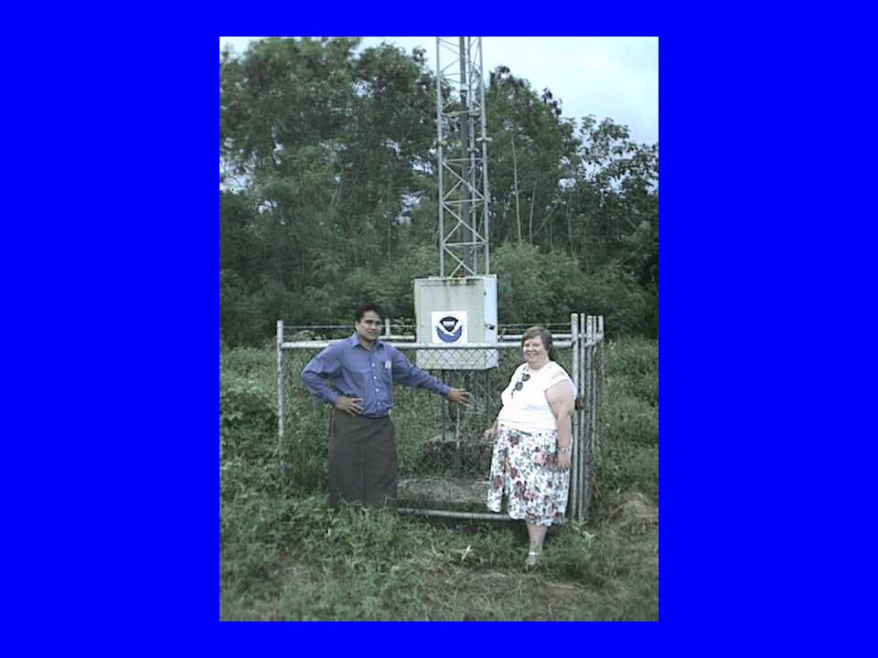
Automatic Weather Station The Pacific AWS Guru, Bob Watanabe, at a NOAA AWS in SAMOA

8
Tide Gauges NOAA Tide Gauge, Funafuti Attol, Tuvalu

9
Seaframe Tide Gauge, Pohnpei, Micronesia

10
Typical Uses Regular Synoptic Reports Sea Level Monitoring (10 minute data, transmitted hourly) Monitoring Hurricanes
 Monitoring Hurricanes")
11
A really REMOTE site. Pitcairn Island (of Mutiny on the Bounty fame) is so remote that access is normally by a 6 monthly boat service. To ensure reliable meteorological data from this remote site it is equipped with TWO fully separate DCP systems
 is so remote that access is normally by a 6 monthly boat service. To ensure reliable meteorological data from this remote site it is equipped with TWO fully separate DCP systems.")
12
Pitcairn

13
Looking Ahead DCP(C) could prove very useful DCP under-utilized at present A number of countries looking at DCP for Automatic Weather Stations DCP maintenance problems have been an issue in the past Possibility of a “Pacific” channel allocation?
 could prove very useful DCP under-utilized at present A number of countries looking at DCP for Automatic Weather Stations DCP maintenance problems have been an issue in the past Possibility of a Pacific channel allocation")
14
THANKS... Many thanks to NOAA, NESDIS, JMA and all others who have assisted us in the past

Similar presentations

 Appendix B Implementation – Coordination Meeting on the GTS and ISS.>")


>")


 of Belize is a small department within the Government of Belize that.>")


