Download presentation
Presentation is loading. Please wait.

1
W W W. R E F R A C T I O N S. N E T Introduction to An Open Source Platform for GIS

2
W W W. R E F R A C T I O N S. N E T Geospatial Architecture Spatial Database –Concurrency –Transactions –Seamlessness Internet Publishing –Feature Access –Map Access Data Manipulation –Direct Access –Editing –Cartography

3
W W W. R E F R A C T I O N S. N E T ESRI Architecture Web Pages

4
W W W. R E F R A C T I O N S. N E T OpenGIS Standards Architecture Web Pages ?

5
W W W. R E F R A C T I O N S. N E T Missing Link for OpenGIS “Integrated Client” Ability to directly view WMS Ability to directly edit WFS Ability to search catalogues Ability to integrate standard GIS data Hides complexity of network access

6
W W W. R E F R A C T I O N S. N E T

7
Open Source Architecture Web Pages ? PostGIS Geoserver

8
W W W. R E F R A C T I O N S. N E T Missing Link for Open Source “Standard GIS Functionality” Ability to directly edit GIS data Ability to connect to PostGIS, Mapserver, GeoServer Ability to create paper cartography Ability to integrate with proprietary infrastructures

9
W W W. R E F R A C T I O N S. N E T

10
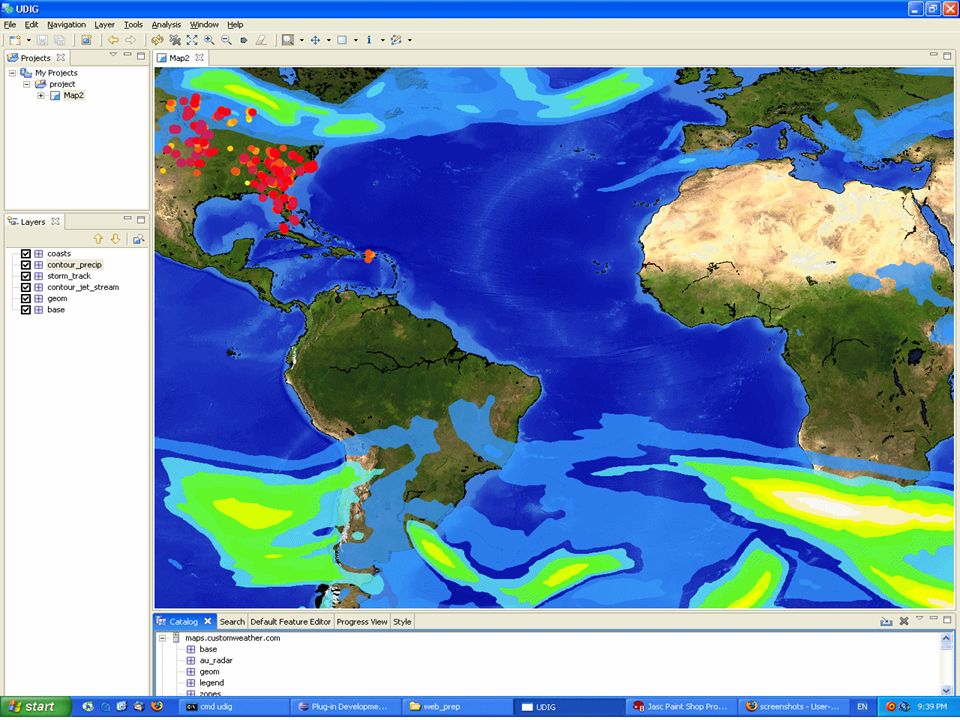
What does “uDig” mean? “User-friendly” –Automatic Integration “Desktop” –Native client –Operating system integration –Cut and paste –Drag and drop “Internet” –OGC Web Map Server –OGC Web Feature Server –Catalogue “GIS” –Analysis framework –Printing –Customizable

11
W W W. R E F R A C T I O N S. N E T

15
How does this Happen? Canadian GeoConnections Program –Seed Funding for R&D –OpenGIS Standards –Open Source = Open Accessibility History –2004 - Started with Eclipse and GeoTools –2005 - Version 1.0 –2006 - Version 1.1

16
W W W. R E F R A C T I O N S. N E T Version 1.1 Highlights Performance –Improved PostGIS support –Improved Shapefile support QIX indexes –Improved workbench Compatibility –Improved WFS support and WFS-T –Apple OS/X support Features –Thematic styling –Table view –Reworked editing tools Stability –Cleaned up editing –Removed extra listeners –Thousands of bugs fixed

17
W W W. R E F R A C T I O N S. N E T Version 1.2 Roadmap Performance –Tiled WMS support –Pageable Table Compatibility –Oracle Spatial –ArcSDE –More WFS servers –More WMS servers Features –High speed TIFF / Imagery –Possible GDAL imagery –Warping tools –Finally, some analysis! Stability –More and more bugs hunted –More and more end users

18
W W W. R E F R A C T I O N S. N E T The Other Guys I know what you are thinking… –GRASS –QGIS –Appomattox –JUMP (OpenJUMP, DeeJUMP, Kosmo) –uDig –gvSIG Why so much duplication???
 –uDig –gvSIG Why so much duplication .")
19
W W W. R E F R A C T I O N S. N E TgvSIG Held a hard line on GPL requirement –uDig is LGPL Started at the same time as uDig –Did not know about each other until both projects made substantial design decisions Had contractual needs for fast results –uDig went with full Geotools model and associated community overhead –gvSIG stayed out of Geotools community and only used bits

20
W W W. R E F R A C T I O N S. N E T uDig Design Decisions No re-inventing wheels –Eclipse RCP –Geotools More than meets the eye Less than meets the eye Design for the future –Multi-threaded rendering –Complete modularity –Abstractions galore

21
W W W. R E F R A C T I O N S. N E T Why Open Source? “You Give this Stuff Away?” –Support is Extra –Training is Extra –Customization is Extra –Consultations are Extra Use what you Want Buy what you Need

22
W W W. R E F R A C T I O N S. N E T How does this Continue? Grow the community of developers! –Open development process –Community engagement Geotools, Geoserver –Modularity and extension as primary design philosophy –Training and support Implementations of uDig applications!

23
W W W. R E F R A C T I O N S. N E T Populations @ Risk Proof of Concept for US State Department –Integrate distributed information into common framework for decision making –OGC services based –Third-world populations and aid response

24
W W W. R E F R A C T I O N S. N E T

25
EU GeoViste Developed in Italy IT system for management of parks and reserves Framework on a framework –uDig as core mapping component

26
W W W. R E F R A C T I O N S. N E T

27
DIVA GIS UN Food & Agriculture Organization –International Potato Center (CIP) –Lima, Peru Map and analyze species distributions Works with genebank data from CIP and other laboratories
 –Lima, Peru Map and analyze species distributions Works with genebank data from CIP and other laboratories")
28
W W W. R E F R A C T I O N S. N E T

29
ArboGIS Arbonaut of Helsinki, Finland Private company, bid development contract with uDig as core mapping component Process automation for forest inventory update –Extract forest stand information from aerial maps –Attach information from old inventory to new stands

30
W W W. R E F R A C T I O N S. N E T

32
EcoSensus The Open University of the UK Integrates uDig with “Compendium” a concept mapping application “Drag and drop digitization”

33
W W W. R E F R A C T I O N S. N E T

34
Souwhat.com Chinese language location search site Building base data from scratch Many ambiguities need to be worked out of (and into) the data –"Tsinghua East Gate", "Wu Dao Kou", and "Chengfu Street" are pretty much the same place Used uDig to create a map of Beijing basically from scratch
 the data – Tsinghua East Gate , Wu Dao Kou , and Chengfu Street are pretty much the same place Used uDig to create a map of Beijing basically from scratch")
35
W W W. R E F R A C T I O N S. N E T

36
Line Cleaner British Columbia Ministry of Forests Needed algorithm to remove “redundant” line work from multiple road network files –Building TINs and networks from the data Built algorithm as uDig plug-in using Geotools / JTS as core libraries

37
W W W. R E F R A C T I O N S. N E T

38
Thank You Questions?

39
W W W. R E F R A C T I O N S. N E T

Similar presentations


 Desktop Web Feature Web Map Server.>")


