Download presentation
Presentation is loading. Please wait.

1
Types of Maps Section 2.2

2
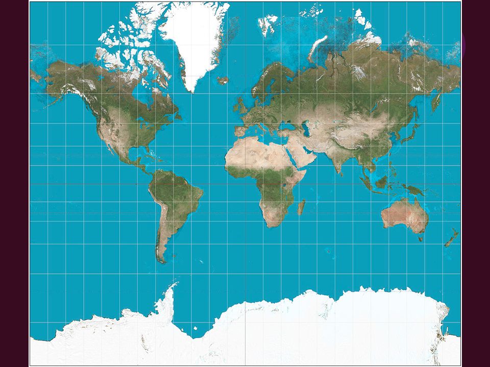
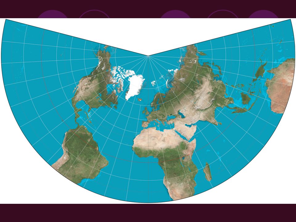
Projections Made by transferring points and lines on a globes surface onto a sheet of paper 3 types Mercator Conic Gnomonic

3
Projections Mercator projection – a map that has parallel lines of latitude and longitude Conic projections – made by projecting points and lines from a globe onto a cone Gnomonic projections – made by projecting points and lines from a globe onto a piece of paper that touches the globe at a single point

7
Topographic Maps Topographic maps – show changes in elevation on Earth’s surface; What else do they show? Contour line – connects points of equal elevation Contour interval – the difference in elevation between two side by side contour lines

8
Topographic Maps Index contours – used hand in hand with contour intervals to determine elevation Depression contour lines – used to represent elevations of features lower than the surrounding landscape; volcanoes or mines

9
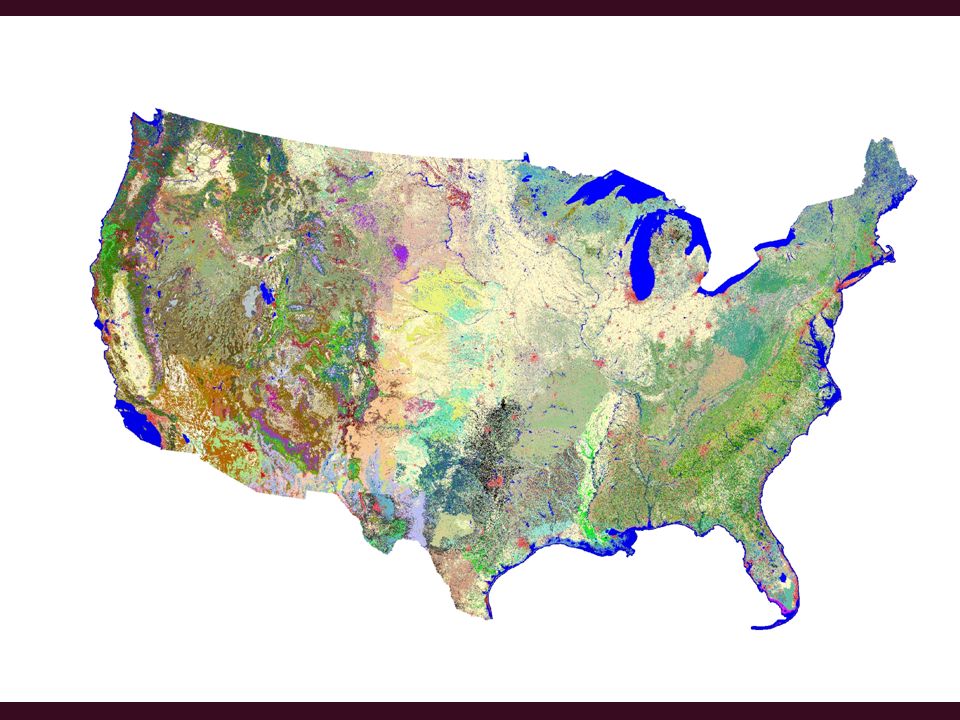
Geologic Maps Geologic map – used to show the distribution, arrangement, and type of rocks located below the soil Geologist can infer how rocks look below the Earth’s surface

11
Map Legends and Map Scales A map legend explains what the symbols on a map represent A map scale is the ratio between distances on a map and actual distances on Earth Verbal scales Graphic scales Fractional scales

Similar presentations


.>")


