Download presentation
Presentation is loading. Please wait.

1
Chapter 2, Section 2

2
If you were standing on Earth…how would you know what shape it was? If you were sailing…how would you figure out the shape of Earth?

3
Map vs. Globe Globe MAPGLOBE FLAT MODELSPHERE All or part of Earth’s surfaceEarth’s entire surface Seen from above Scale Symbols Key Compass

4
Maps and globes are drawn to scale and use symbols to represent topography and other features on Earth’s surface.

5
Which version is more accurate relative to size, shape and positions of objects? THE GLOBE!!!!

6
Features Scale – relates distance on a map to a distance on Earth’s surface Symbols – shapes and pictures that stand for feature on Earth’s surface Key – a list of all the symbols used on the map with an explanation of their meaning

11
Earth’s Reference System To locate positions on Earth’s surface, scientists use degrees.

12
Earth’s Reference System The equator forms an imaginary line that circles the earth.

13
The equator divides Earth into Northern and Southern hemisphere.

14
Earth’s Reference System A second imaginary line called the Prime Meridian makes a half circle from the North Pole to the South Pole and it passes through Greenwich, England. Areas that are east of the Prime Meridian are in the Eastern Hemisphere while areas west of the Prime Meridian are in the Western Hemisphere.

15
Maps and globes show gridlines as a reference.

16
Reference System Maps and globes show gridlines as a reference.

17
Earth’s Reference System Whether a map or a globe, lines of latitude and longitude form a grid that can be used to locate things on Earth’s surface

18
Latitude – measures degrees north or south of the equator

19
Longitude – measure degrees east or west of the prime meridian

20
Locating a Point

21
Map Projection = a framework of lines that helps in transferring points on Earth’s three-dimensional surface onto a flat map. 3 types Mercator Conic Equal Area

22
Mercator Projection

23
Mercator All lines of latitude and longitude appear as straight, parallel lines that form a rectangle Size and shape of landmasses near the equator are distorted a little, but they become more distorted as you go towards the poles

24
Conic Projection

25
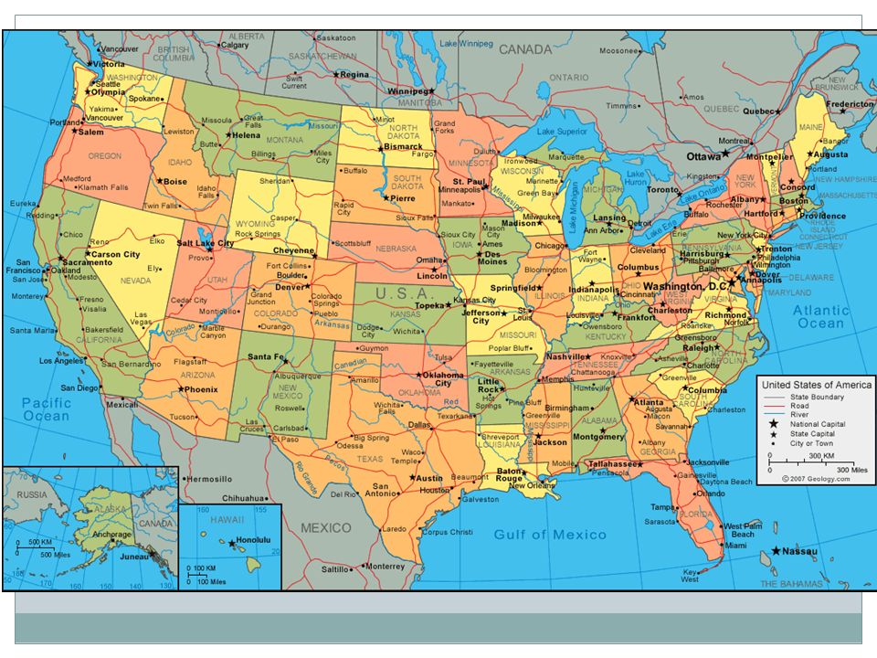
Conic Lines of longitude appear as straight lines while lines of latitude are curved Little distortion because it only shows a small part of Earth’s surface Frequently used for maps of the continental United States Conic Projection

26
Equal Area Correctly shows the relative sizes of Earth’s landmasses Shapes of landmass near the edges of the map appear curved and stretched

Similar presentations